File:Augsburger Rathaus (Rückseite).jpg
Original file (4,912 × 3,264 pixels, file size: 4.56 MB, MIME type: image/jpeg)
Captions
Summary
[edit]DescriptionAugsburger Rathaus (Rückseite).jpg |
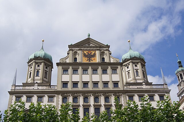
Deutsch: Aufnahme des Rathauses vom Elias-Holl-Platz aus. Rechts ist noch ein wenig Perlachturm zu erkennen. |
Date | |
Source | Own work |
Author | DoubleM |
Camera location | 48° 21′ 59.23″ N, 10° 54′ 12.08″ E | View this and other nearby images on: OpenStreetMap | 48.366453; 10.903356 |
---|
WGS-84: 48°21'59,2 N; 10°54'12,1 O (Standort der Kamera)
Licensing
[edit]- You are free:
- to share – to copy, distribute and transmit the work
- to remix – to adapt the work
- Under the following conditions:
- attribution – You must give appropriate credit, provide a link to the license, and indicate if changes were made. You may do so in any reasonable manner, but not in any way that suggests the licensor endorses you or your use.
- share alike – If you remix, transform, or build upon the material, you must distribute your contributions under the same or compatible license as the original.
This image was uploaded as part of Wiki Loves Monuments 2011.
Afrikaans ∙ Alemannisch ∙ العربية ∙ جازايرية ∙ azərbaycanca ∙ Bikol Central ∙ беларуская ∙ беларуская (тарашкевіца) ∙ български ∙ বাংলা ∙ brezhoneg ∙ bosanski ∙ català ∙ čeština ∙ Cymraeg ∙ dansk ∙ Deutsch ∙ Zazaki ∙ Ελληνικά ∙ English ∙ Esperanto ∙ español ∙ eesti ∙ euskara ∙ فارسی ∙ suomi ∙ français ∙ Frysk ∙ Gaeilge ∙ galego ∙ עברית ∙ हिन्दी ∙ hrvatski ∙ magyar ∙ հայերեն ∙ Bahasa Indonesia ∙ Ido ∙ italiano ∙ 日本語 ∙ ქართული ∙ 한국어 ∙ кыргызча ∙ Lëtzebuergesch ∙ latviešu ∙ Malagasy ∙ македонски ∙ മലയാളം ∙ Bahasa Melayu ∙ Malti ∙ norsk bokmål ∙ नेपाली ∙ Nederlands ∙ norsk nynorsk ∙ norsk ∙ polski ∙ português ∙ português do Brasil ∙ română ∙ русский ∙ sicilianu ∙ davvisámegiella ∙ slovenčina ∙ slovenščina ∙ shqip ∙ српски / srpski ∙ svenska ∙ ไทย ∙ Tagalog ∙ Türkçe ∙ українська ∙ اردو ∙ oʻzbekcha / ўзбекча ∙ Yorùbá ∙ 中文 ∙ 中文(中国大陆) ∙ 中文(简体) ∙ 中文(繁體) ∙ 中文(香港) ∙ 中文(臺灣) ∙ +/− |
File history
Click on a date/time to view the file as it appeared at that time.
Date/Time | Thumbnail | Dimensions | User | Comment | |
---|---|---|---|---|---|
current | 13:27, 7 September 2011 | 4,912 × 3,264 (4.56 MB) | DoubleM (talk | contribs) |
You cannot overwrite this file.
File usage on Commons
There are no pages that use this file.
Metadata
This file contains additional information such as Exif metadata which may have been added by the digital camera, scanner, or software program used to create or digitize it. If the file has been modified from its original state, some details such as the timestamp may not fully reflect those of the original file. The timestamp is only as accurate as the clock in the camera, and it may be completely wrong.
Image title | SONY DSC |
---|---|
Camera manufacturer | SONY |
Camera model | SLT-A55V |
Exposure time | 1/400 sec (0.0025) |
F-number | f/8 |
ISO speed rating | 100 |
Date and time of data generation | 11:40, 30 August 2011 |
Lens focal length | 30 mm |
Altitude | 484 meters above sea level |
Orientation | Normal |
Horizontal resolution | 350 dpi |
Vertical resolution | 350 dpi |
Software used | SLT-A55V v1.10 |
File change date and time | 11:40, 30 August 2011 |
Y and C positioning | Co-sited |
Exposure Program | Normal program |
Exif version | 2.3 |
Date and time of digitizing | 11:40, 30 August 2011 |
Image compression mode | 2 |
APEX brightness | 10.12 |
APEX exposure bias | 0 |
Maximum land aperture | 4.34 APEX (f/4.5) |
Metering mode | Pattern |
Light source | Unknown |
Flash | Flash did not fire, auto mode |
Color space | sRGB |
Custom image processing | Normal process |
Exposure mode | Auto exposure |
White balance | Auto white balance |
Focal length in 35 mm film | 45 mm |
Scene capture type | Standard |
Contrast | Normal |
Saturation | Normal |
Sharpness | Normal |
North or south latitude | North latitude |
East or west longitude | East longitude |
Receiver status | Measurement interoperability |
Measurement mode | 3-dimensional measurement |
Speed unit | Kilometers per hour |
Speed of GPS receiver | 0.2 |
Reference for direction of movement | True direction |
Direction of movement | 174.32 |
Geodetic survey data used | WGS-84 |
GPS date | 30 August 2011 |
GPS differential correction | 0 |
Structured data
Items portrayed in this file
depicts
30 August 2011
48°21'59.231"N, 10°54'12.082"E
0.0025 second
30 millimetre
100
image/jpeg
0fa2c85dccc979ab9aafce46822a3d058079d47c
4,784,128 byte
3,264 pixel
4,912 pixel
- Files with coordinates missing SDC location of creation (48° N, 10° E)
- CC-BY-SA-3.0
- Self-published work
- Images from Wiki Loves Monuments 2011
- Images from Wiki Loves Monuments 2011 in Germany
- Images from Wiki Loves Monuments missing SDC depicts
- Images from Wiki Loves Monuments missing SDC location of creation
- Images from Wiki Loves Monuments 2011, DE-BY
- Bavaria photographs taken on 2011-08-30