File:Australia Victoria Mitchell Shire location map.svg
Jump to navigation
Jump to search

Size of this PNG preview of this SVG file: 533 × 498 pixels. Other resolutions: 257 × 240 pixels | 514 × 480 pixels | 822 × 768 pixels | 1,096 × 1,024 pixels | 2,192 × 2,048 pixels.
Original file (SVG file, nominally 533 × 498 pixels, file size: 551 KB)
Captions
Captions
Add a one-line explanation of what this file represents
| Description |
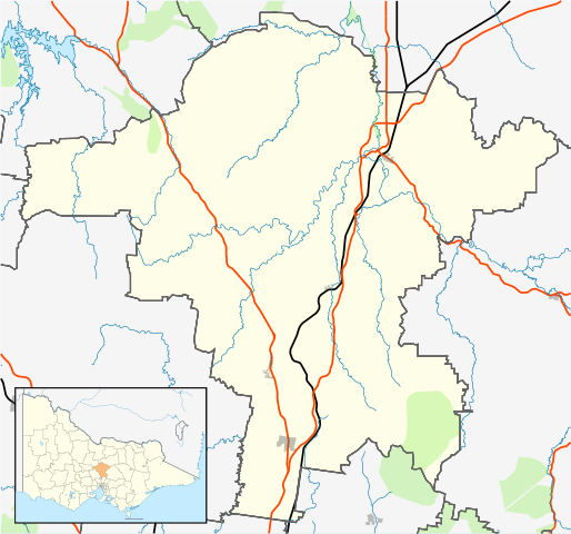
English: Blank map of w:Mitchell Shire, Victoria, Australia, with the following information shown:
Geographic limits:
|
||
| Source | Own work | ||
| Author | Cassowary |

File history
Click on a date/time to view the file as it appeared at that time.
| Date/Time | Thumbnail | Dimensions | User | Comment | |
|---|---|---|---|---|---|
| current | 20:14, 17 February 2011 | | 533 × 498 (551 KB) | Cassowary (talk | contribs) | {{Information |Description ={{en|1=Blank map of Melbourne, Victoria, Australia, with the following information shown: * LGA boundaries * Coastline, lakes and rivers * Roads and railways * Urban areas * Parks Geographic lim |
You cannot overwrite this file.
File usage on Commons
There are no pages that use this file.
File usage on other wikis
The following other wikis use this file:
- Usage on ar.wikipedia.org
- Usage on ceb.wikipedia.org
- Usage on en.wikipedia.org
- Shire of Mitchell
- Seymour, Victoria
- Avenel, Victoria
- Kilmore, Victoria
- Wallan
- Beveridge, Victoria
- Puckapunyal
- Wandong
- Mia Mia, Victoria
- Broadford, Victoria
- Tallarook
- Pyalong
- Flowerdale, Victoria
- Tooborac
- Emu Flat, Victoria
- Template:Towns in Mitchell Shire
- Heathcote Junction, Victoria
- Clonbinane
- Kilmore East, Victoria
- Mangalore, Victoria
- Module:Location map/data/Australia Victoria Shire of Mitchell/doc
- Trawool
- Mount Fraser (Australia)
- Glenaroua
- Upper Plenty
- Northwood, Victoria
- Moranding
- Reedy Creek, Victoria
- Tyaak
- Waterford Park, Victoria
- Willowmavin
- Module:Location map/data/Australia Victoria Shire of Mitchell
- Sugarloaf Creek, Victoria
- Heathcote South, Victoria
- Sunday Creek, Victoria
- Hume's Pass
- User:Viatori/sandbox
- User:ThylacineHunter/LGA
- Usage on fa.wikipedia.org
- Usage on kn.wikipedia.org
- Usage on simple.wikipedia.org
- Usage on si.wikipedia.org
- Usage on tr.wikipedia.org
- Usage on uz.wikipedia.org
View more global usage of this file.