File:Autobahndreieck Neu-Ulm der B30 und der B28.png
Jump to navigation
Jump to search

Size of this preview: 800 × 598 pixels. Other resolutions: 320 × 239 pixels | 640 × 479 pixels | 1,024 × 766 pixels | 1,280 × 957 pixels | 1,520 × 1,137 pixels.
Original file (1,520 × 1,137 pixels, file size: 347 KB, MIME type: image/png)
Captions
Captions
Add a one-line explanation of what this file represents
Summary
[edit]
| Description |
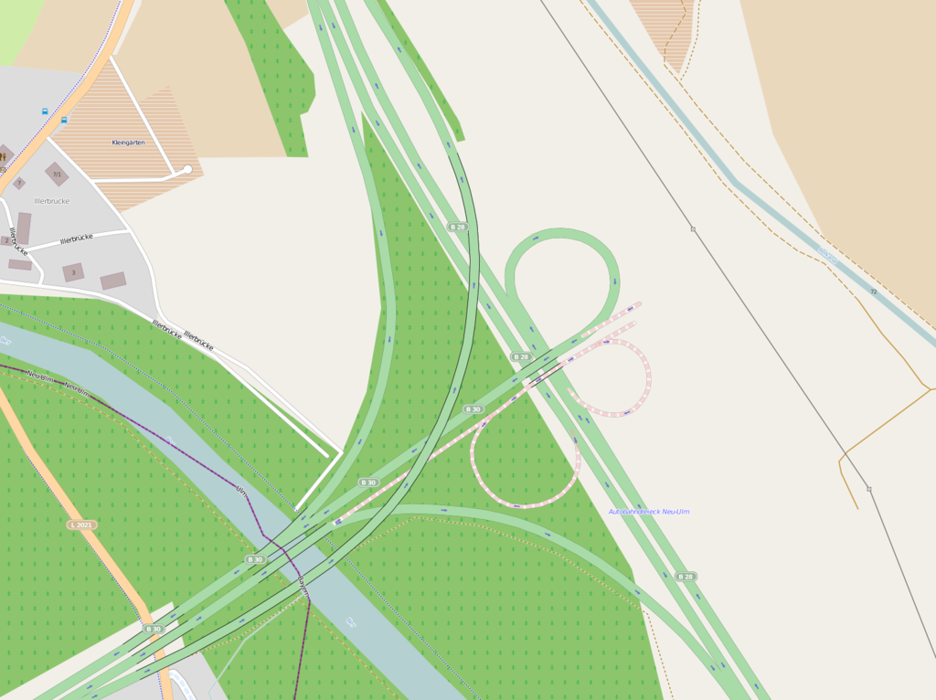
Deutsch: Lage des Autobahndreiecks Neu-Ulm (B30/B28). |
| Date | |
| Source | OpenStreetMap |
| Author | Heini Woldschläger |
Licensing
[edit]
| Description |
This map was created from OpenStreetMap project data, collected by the community. This map may be incomplete, and may contain errors. Don't rely solely on it for navigation. |
|||
| Date | (see file history) | |||
| Source | openstreetmap.org | |||
| Creator |
OpenStreetMap contributors |
|||
| Permission (Reusing this file) |
OpenStreetMap data is available under the Open Database License (details). Map tiles are licensed under the Creative Commons Attribution-ShareAlike 2.0 license (CC-BY-SA 2.0).
This file is licensed under the Creative Commons Attribution-Share Alike 2.0 Generic license.
|
|||
| Georeferencing | If inappropriate please set warp_status = skip to hide. |
File history
Click on a date/time to view the file as it appeared at that time.
| Date/Time | Thumbnail | Dimensions | User | Comment | |
|---|---|---|---|---|---|
| current | 14:25, 25 March 2012 | | 1,520 × 1,137 (347 KB) | Bundesfestung Ulm (talk | contribs) | {{Information |Description ={{de|1=Lage des Autobahndreiecks Neu-Ulm (B30/B28).}} |Source =[http://www.openstreetmap.org OpenStreetMap] |Author =Heini Woldschläger |Date =2012-03-25 |Permission... |
You cannot overwrite this file.
File usage on Commons
There are no pages that use this file.
File usage on other wikis
The following other wikis use this file:
- Usage on de.wikipedia.org