File:Autostrada A2 - Most nad Wartą koło Sługocina.jpg
Jump to navigation
Jump to search

Size of this preview: 800 × 449 pixels. Other resolutions: 320 × 180 pixels | 640 × 360 pixels | 1,024 × 575 pixels | 1,280 × 719 pixels | 2,592 × 1,456 pixels.
Original file (2,592 × 1,456 pixels, file size: 793 KB, MIME type: image/jpeg)
Captions
Captions
Add a one-line explanation of what this file represents
Summary[edit]
| Description |
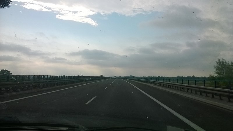
English: Bridge over the Warta river near Sługocin (Konin County, Greater Poland Voivodeship), carrying motorway A2 (Motorway of Freedom) and European route E30. View towards east (Konin).
Polski: Most autostradowy nad Wartą koło Sługocina (powiat koniński, województwo wielkopolskie) w ciągu Autostrady Wolności (A2) i trasy europejskiej E30. Widok w kierunku wschodnim (Konin).
Deutsch: Autobahnbrücke über Warthe bei Sługocin (Landkreis Konin, Woiwodschaft Großpolen), Teil der Autostrada A2 (Autobahn der Freiheit) und Europastraße 30. |
| Date | Taken on 7 June 2019 |
| Source | Own work |
| Author | Miko101 |
| Permission (Reusing this file) |
This file is licensed under the Creative Commons Attribution-Share Alike 3.0 Poland license. Attribution: Miko101
 |
| Camera location | | View this and other nearby images on: OpenStreetMap |
|---|
File history
Click on a date/time to view the file as it appeared at that time.
| Date/Time | Thumbnail | Dimensions | User | Comment | |
|---|---|---|---|---|---|
| current | 10:45, 1 July 2019 | | 2,592 × 1,456 (793 KB) | Miko101 (talk | contribs) | {{Information |description ={{en|1=Bridge over the Warta river near Sługocin (Konin County, Greater Poland Voivodeship), carrying motorway A2 (Motorway of Freedom) and European route E30. View towards east (Konin).}} {{pl|1=Most autostradowy nad Wartą koło Sługocina ([[w:pl:Powiat koniński|powiat koni... |
You cannot overwrite this file.
File usage on Commons
There are no pages that use this file.
File usage on other wikis
The following other wikis use this file:
- Usage on en.wikipedia.org
- Usage on pl.wikipedia.org
- Usage on www.wikidata.org