File:Awagatake (Aerial).jpg
跳去導覽
跳去搵嘢
預覽大細:800 × 450 像素。 第啲解像度:320 × 180 像素 | 640 × 360 像素 | 1,280 × 720 像素。
原本檔案 (1,280 × 720 像素,檔案大細:220 KB ,MIME類型:image/jpeg)
Captions
Captions
Add a one-line explanation of what this file represents
| 描述 |
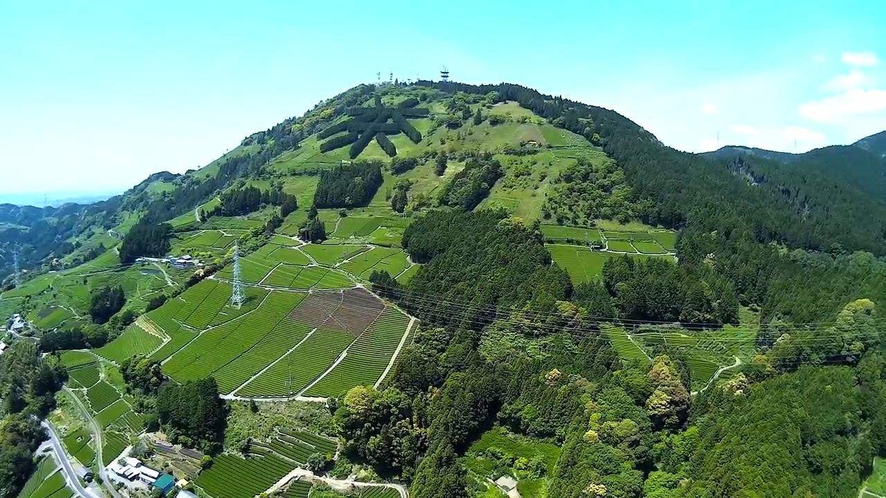
English: Aerial view of the east side of the Mount Awagatake (a.k.a. Mount Awa) in the border Kakegawa & Shimada, Shizuoka Prefecture, Japan.
|
| 日期 |
Unknown 2015年5月11號 (original upload date) |
| 來源 | https://www.youtube.com/watch?v=zLdikfzdhU4 at 11 second |
| 作者 | SUGI MAKOTO |
| 許可 (重用呢個檔案) |
This video, screenshot or audio excerpt was originally uploaded on YouTube under a CC license.
Their website states: "YouTube allows users to mark their videos with a Creative Commons CC BY license."
To the uploader: You must provide a link (URL) to the original file and the authorship information if available.
Ĉi tiu dosiero estas disponebla laŭ la permesilo Krea Komunaĵo Atribuite 3.0 Neadaptita. 姓名標示: SUGI MAKOTO
|
| Camera location | | View this and other nearby images on: OpenStreetMap |
|---|
.jpg¶ms=034.842222_N_0138.081667_E_globe:Earth_type:camera_region:JP_&language=yue)
| Object location | | View this and other nearby images on: OpenStreetMap |
|---|
.jpg¶ms=034.841667_N_0138.067500_E_globe:Earth_class:object_type:object_region:JP_&language=yue)
This file, which was originally posted to
https://www.youtube.com/watch?v=zLdikfzdhU4 at 11 second, was reviewed on 24 November 2017 by reviewer Leoboudv, who confirmed that it was available there under the stated license on that date.
|
檔案歷史
撳個日期/時間去睇響嗰個時間出現過嘅檔案。
| 日期/時間 | 縮圖 | 尺寸 | 用戶 | 註解 | |
|---|---|---|---|---|---|
| 現時 | 2017年11月24號 (五) 07:35 | | 1,280 × 720(220 KB) | Batholith(傾偈 | 貢獻) | {{Information |Description= {{en|Aerial photographs of the East side of '''Awagatake''' (or Mount Awa) in Kakegawa, Shizuoka & Shimada, Shizuoka, Shizuoka prefecture, Jap... |
你無得衾咗個檔案。
檔案用途
全域檔案使用情況
下面嘅維基都用緊呢個檔案:
- ceb.wikipedia.org嘅使用情況
- ja.wikipedia.org嘅使用情況
- lld.wikipedia.org嘅使用情況
- vi.wikipedia.org嘅使用情況
- www.wikidata.org嘅使用情況
- zh-yue.wikipedia.org嘅使用情況
- zh.wikipedia.org嘅使用情況
.jpg&oldid=809355495)