File:Banat rozcesti KCT.jpg
Jump to navigation
Jump to search

Size of this preview: 800 × 532 pixels. Other resolutions: 320 × 213 pixels | 640 × 426 pixels | 1,024 × 681 pixels | 1,280 × 851 pixels.
Original file (1,280 × 851 pixels, file size: 207 KB, MIME type: image/jpeg)
Captions
Captions
Add a one-line explanation of what this file represents
Summary
[edit]
| Description |
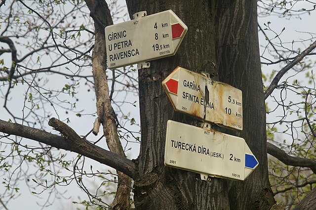
English: Crossroads in the Banat (Romania) between Gârnic and Sfânta Elena. Tagging by the Czech Hiking Club.
Čeština: Rozcestí v Banátu (Rumunsko) mezi Gernikem a Svatou Helenou. Značkováno Klubem českých turistů |
| Date | |
| Source | Own work |
| Author | Pavouk |
| Object location | | View this and other nearby images on: OpenStreetMap |
|---|
Licensing
[edit]
| I, the copyright holder of this work, release this work into the public domain. This applies worldwide. In some countries this may not be legally possible; if so: I grant anyone the right to use this work for any purpose, without any conditions, unless such conditions are required by law. |
File history
Click on a date/time to view the file as it appeared at that time.
| Date/Time | Thumbnail | Dimensions | User | Comment | |
|---|---|---|---|---|---|
| current | 16:31, 12 July 2009 | | 1,280 × 851 (207 KB) | Pavouk (talk | contribs) | {{Information |Description={{en|1=Crossroads in the Banat (Romania) between Gârnic and Sfânta Elena. Tagging by the Czech Hiking Club.}} {{cs|1=Rozcestí v Banátu (Rumunsko) mezi Gernikem a Svatou Helenou. Značkováno Klubem českých turistů}} |Sour |
You cannot overwrite this file.
File usage on Commons
There are no pages that use this file.
File usage on other wikis
The following other wikis use this file:
- Usage on cs.wikipedia.org
- Usage on de.wikipedia.org
- Usage on en.wikipedia.org