File:Bangladesh location map with river names without division borders.svg
Jump to navigation
Jump to search

Size of this PNG preview of this SVG file: 443 × 600 pixels. Other resolutions: 177 × 240 pixels | 354 × 480 pixels | 567 × 768 pixels | 756 × 1,024 pixels | 1,513 × 2,048 pixels | 605 × 819 pixels.
Original file (SVG file, nominally 605 × 819 pixels, file size: 372 KB)
Captions
Captions
Add a one-line explanation of what this file represents
Summary[edit]
| Description |
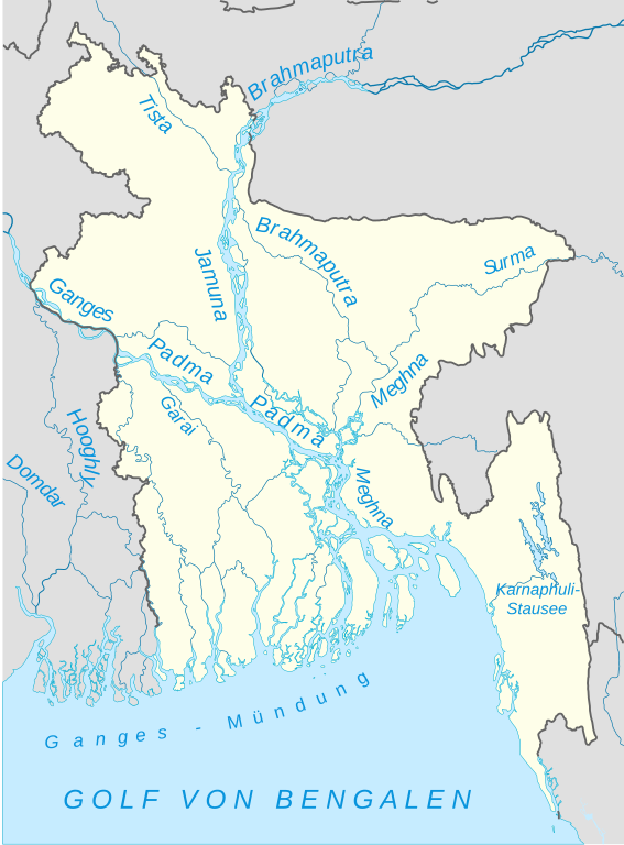
Deutsch: Positionskarte von Bangladesch mit Fluss- und Gewässernamen und ohne die Grenzen der subnationalen Verwaltungseinheiten (Divisionen). |
||
| Date | |||
| Source |
This vector image includes elements that have been taken or adapted from this file: |
||
| Author |
|
||
| Permission (Reusing this file) |
I, the copyright holder of this work, hereby publish it under the following licenses:
This file is licensed under the Creative Commons Attribution-Share Alike 4.0 International license.
You may select the license of your choice. |
||
| SVG development | This vector image was created with Adobe Illustrator. |

File history
Click on a date/time to view the file as it appeared at that time.
| Date/Time | Thumbnail | Dimensions | User | Comment | |
|---|---|---|---|---|---|
| current | 10:37, 9 January 2020 | | 605 × 819 (372 KB) | Furfur (talk | contribs) | Detail |
| 23:36, 9 July 2016 |  | 605 × 819 (377 KB) | Furfur (talk | contribs) | Versuch einer Optimierung | |
| 19:56, 9 July 2016 |  | 605 × 819 (511 KB) | Furfur (talk | contribs) | ... doch lieber SVG-Schriften | |
| 19:34, 9 July 2016 |  | 1,205 × 1,637 (642 KB) | Furfur (talk | contribs) | Schrift in Pfade umgewandelt | |
| 17:02, 9 July 2016 |  | 1,205 × 1,637 (513 KB) | Furfur (talk | contribs) | == {{int:filedesc}} == {{Information |Description= {{de|1=Positionskarte von Bangladesch mit Fluss- und Gewässernamen und ohne die Grenzen der subnationalen Verwaltungseinheiten (Divisionen).}} |Source={{AttribSVG|1=Bangladesh location map.svg|2=NordN... |
You cannot overwrite this file.
File usage on Commons
There are no pages that use this file.
File usage on other wikis
The following other wikis use this file: