File:Batang Haizishan 2014.09.16 17-17-04.jpg
跳去導覽
跳去搵嘢

預覽大細:800 × 533 像素。 第啲解像度:320 × 213 像素 | 640 × 427 像素 | 1,024 × 683 像素 | 1,280 × 853 像素 | 2,560 × 1,707 像素 | 5,472 × 3,648 像素。
原本檔案 (5,472 × 3,648 像素,檔案大細:6.13 MB ,MIME類型:image/jpeg)
Captions
Captions
Add a one-line explanation of what this file represents
摘要
[編輯]| 描述 |
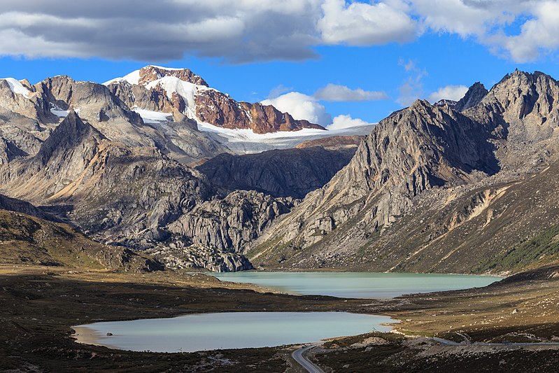
中文:巴塘海子山姊妹湖,摄于318国道 English: Twin lakes in Batang, Sichuan. |
||
| 日期 | |||
| 來源 | 自己作品 | ||
| 作者 | Zhangzhugang | ||
| 許可 (重用呢個檔案) |
I, the copyright holder of this work, hereby publish it under the following licenses:
This file is licensed under the Creative Commons Attribution-Share Alike Attribution-Share Alike 4.0 International, 3.0 Unported, 2.5 Generic, 2.0 Generic and 1.0 Generic license.
你可以揀你想用嘅牌照。 |

|
| Camera location | | View this and other nearby images on: OpenStreetMap |
|---|
檔案歷史
撳個日期/時間去睇響嗰個時間出現過嘅檔案。
| 日期/時間 | 縮圖 | 尺寸 | 用戶 | 註解 | |
|---|---|---|---|---|---|
| 現時 | 2017年10月4號 (三) 07:42 | | 5,472 × 3,648(6.13 MB) | Zhangzhugang(傾偈 | 貢獻) |
你無得衾咗個檔案。
檔案用途
以下嘅14版用到呢個檔:
- User:Zhangzhugang
- User:Zhangzhugang/gallery
- User talk:Zhangzhugang
- Commons:Featured picture candidates/File:Batang Haizishan 2014.09.16 17-17-04.jpg
- Commons:Featured picture candidates/Log/October 2017
- Commons:Featured pictures/Places/Natural
- Commons:Featured pictures/chronological/2017-B
- Commons:Picture of the Year/2017/Candidates
- Commons:Picture of the Year/2017/R1/Gallery/2017-B
- Commons:Picture of the Year/2017/R1/Gallery/ALL
- Commons:Picture of the Year/2017/R1/Gallery/M10
- Commons:Picture of the Year/2017/R1/Gallery/Waters
- Commons:Picture of the Year/2017/R1/v/Batang Haizishan 2014.09.16 17-17-04.jpg
- File:1870 Events Collage V 1.0.jpg
全域檔案使用情況
下面嘅維基都用緊呢個檔案:
- en.wikipedia.org嘅使用情況
- fr.wikipedia.org嘅使用情況
- hy.wikipedia.org嘅使用情況
- ja.wikipedia.org嘅使用情況
- vi.wikipedia.org嘅使用情況
- www.wikidata.org嘅使用情況
- zh-min-nan.wikipedia.org嘅使用情況
- zh.wikipedia.org嘅使用情況