File:Bay of Biscay map.svg
Jump to navigation
Jump to search

Size of this PNG preview of this SVG file: 657 × 599 pixels. Other resolutions: 263 × 240 pixels | 526 × 480 pixels | 842 × 768 pixels | 1,122 × 1,024 pixels | 2,245 × 2,048 pixels | 1,004 × 916 pixels.
Original file (SVG file, nominally 1,004 × 916 pixels, file size: 366 KB)
Captions
Captions
Add a one-line explanation of what this file represents
| Description |
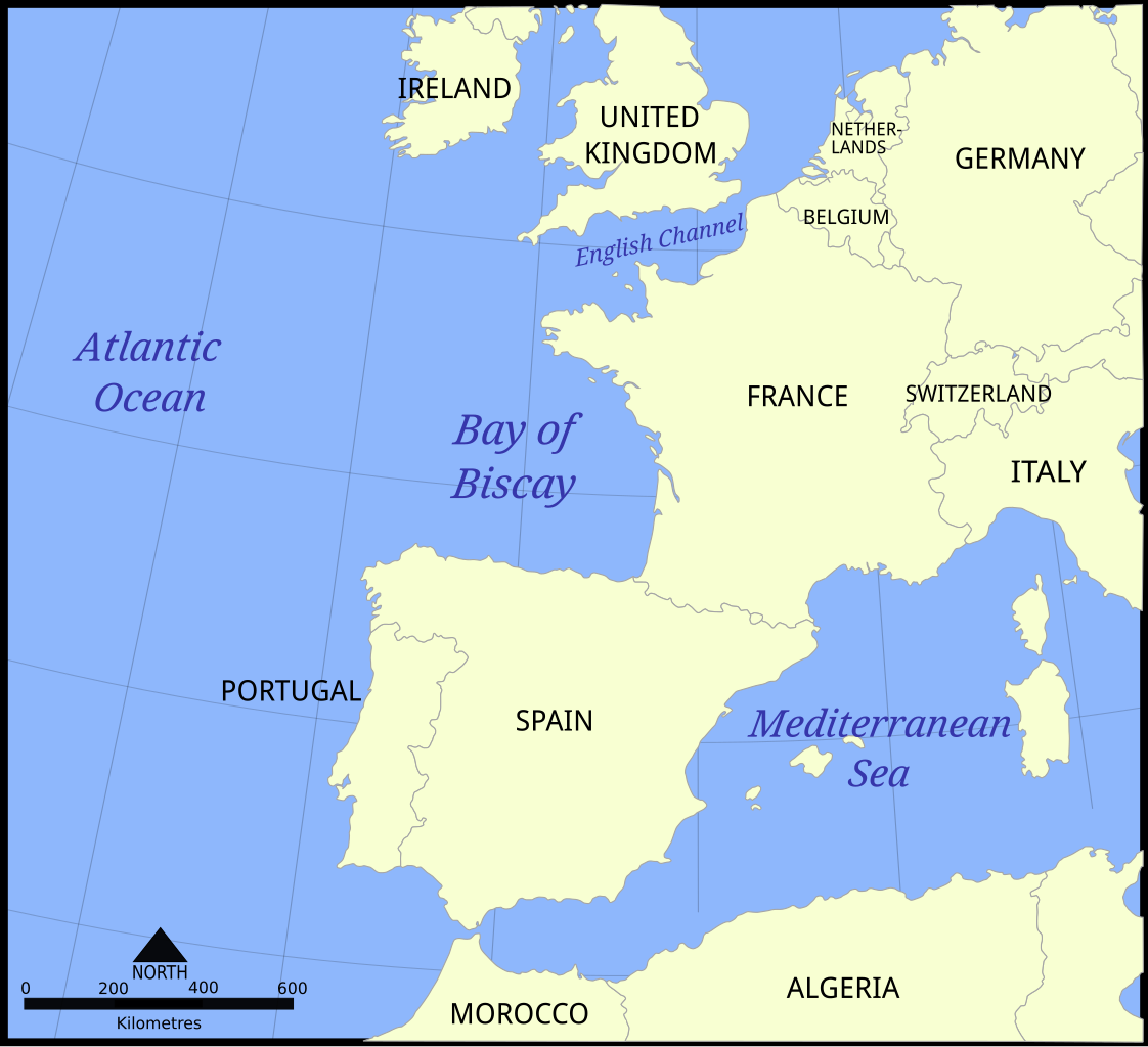
English: Location map of the Bay of Biscay, in the North Atlantic Ocean.
|
| Date | |
| Source | Bay_of_Biscay_map.png |
| Author | SVG conversion by User:Decora, original map File:Bay_of_Biscay_map.png by User:NormanEinstein, November 7, 2005 |
| Other versions | File:Bay of Biscay map hr.svg |
I, the copyright holder of this work, hereby publish it under the following licenses:

|
Permission is granted to copy, distribute and/or modify this document under the terms of the GNU Free Documentation License, Version 1.2 or any later version published by the Free Software Foundation; with no Invariant Sections, no Front-Cover Texts, and no Back-Cover Texts. A copy of the license is included in the section entitled GNU Free Documentation License. |
| This file is licensed under the Creative Commons Attribution-Share Alike 3.0 Unported license. | ||
| ||
| This licensing tag was added to this file as part of the GFDL licensing update. |
You may select the license of your choice.
File history
Click on a date/time to view the file as it appeared at that time.
| Date/Time | Thumbnail | Dimensions | User | Comment | |
|---|---|---|---|---|---|
| current | 23:35, 11 March 2011 | | 1,004 × 916 (366 KB) | VanishedUser sdu9aya9fasdsopa (talk | contribs) | restored Andorra!!! oops |
| 23:21, 11 March 2011 |  | 1,004 × 916 (365 KB) | VanishedUser sdu9aya9fasdsopa (talk | contribs) | better borders | |
| 23:10, 11 March 2011 |  | 1,020 × 930 (365 KB) | VanishedUser sdu9aya9fasdsopa (talk | contribs) | graying borders | |
| 23:02, 11 March 2011 |  | 1,020 × 930 (365 KB) | VanishedUser sdu9aya9fasdsopa (talk | contribs) | text fonts saved as paths. | |
| 22:48, 11 March 2011 |  | 1,020 × 930 (237 KB) | VanishedUser sdu9aya9fasdsopa (talk | contribs) | {{Information |Description ={{en|1={{cc-by-sa-3.0}}}} |Source =Bay_of_Biscay_map.png |Author =User:Decora |Date =2011-03-11 |Permission = |other_versions = }} |
You cannot overwrite this file.
File usage
The following page uses this file:
Global file usage
The following other wikis use this file:
- Usage on da.wikipedia.org
- Usage on en.wikipedia.org
- Usage on en.wikinews.org
- Usage on id.wikipedia.org
- Usage on incubator.wikimedia.org
- Usage on ja.wikipedia.org
- Usage on lo.wikipedia.org
- Usage on mr.wikipedia.org
- Usage on ru.wikipedia.org
- Usage on sq.wikipedia.org
- Usage on sw.wikipedia.org
- Usage on th.wikipedia.org
- Usage on vi.wikipedia.org