File:Benton Township windmills and corn stubble.jpg
Jump to navigation
Jump to search
Size of this preview: 800 × 532 pixels. Other resolutions: 320 × 213 pixels | 640 × 426 pixels | 1,024 × 681 pixels | 1,280 × 851 pixels | 2,560 × 1,702 pixels | 6,016 × 4,000 pixels.
Original file (6,016 × 4,000 pixels, file size: 6.19 MB, MIME type: image/jpeg)
Captions
Captions
Add a one-line explanation of what this file represents
| Camera location | | View this and other nearby images on: OpenStreetMap |
|---|
| Description |
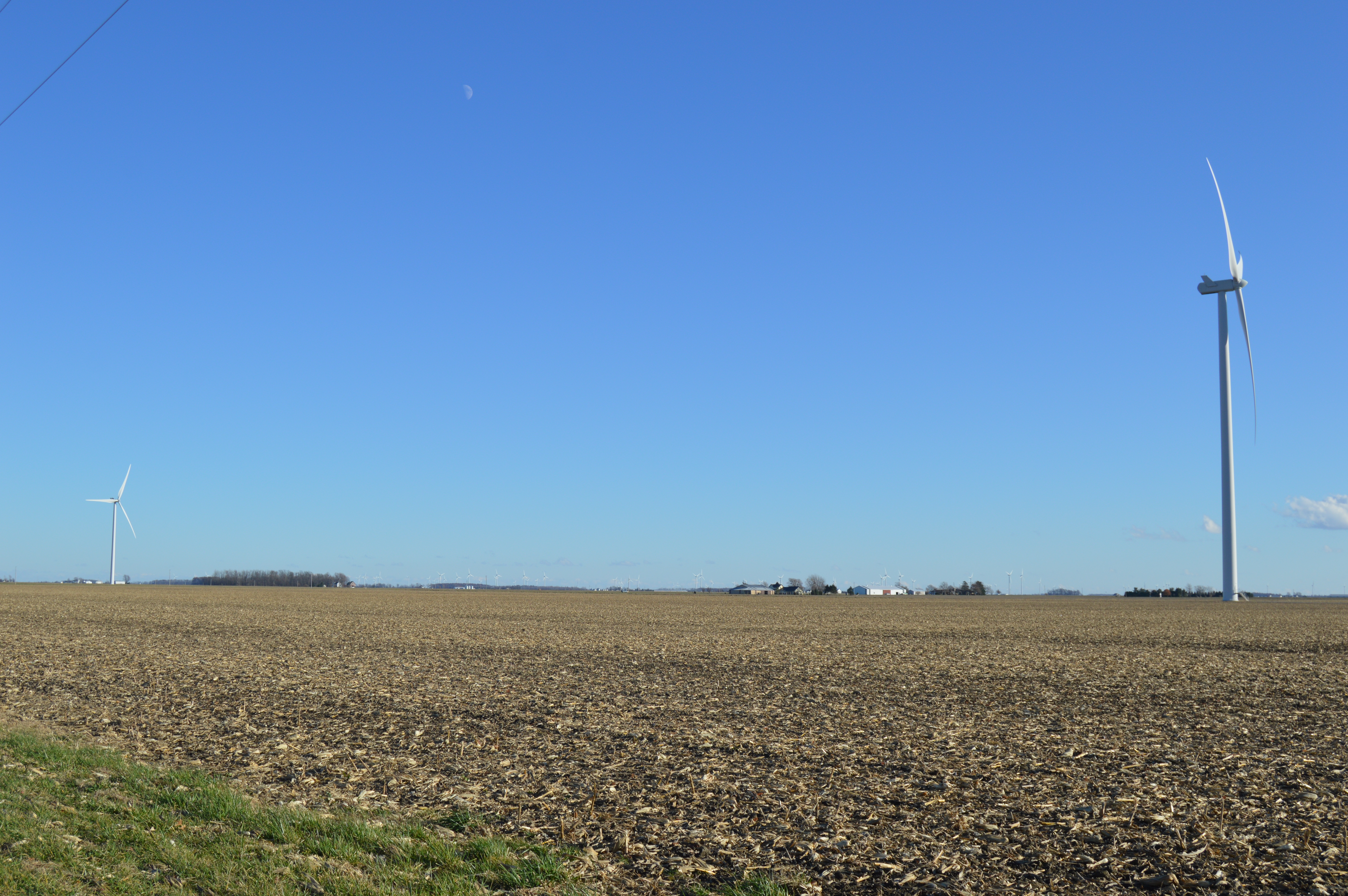
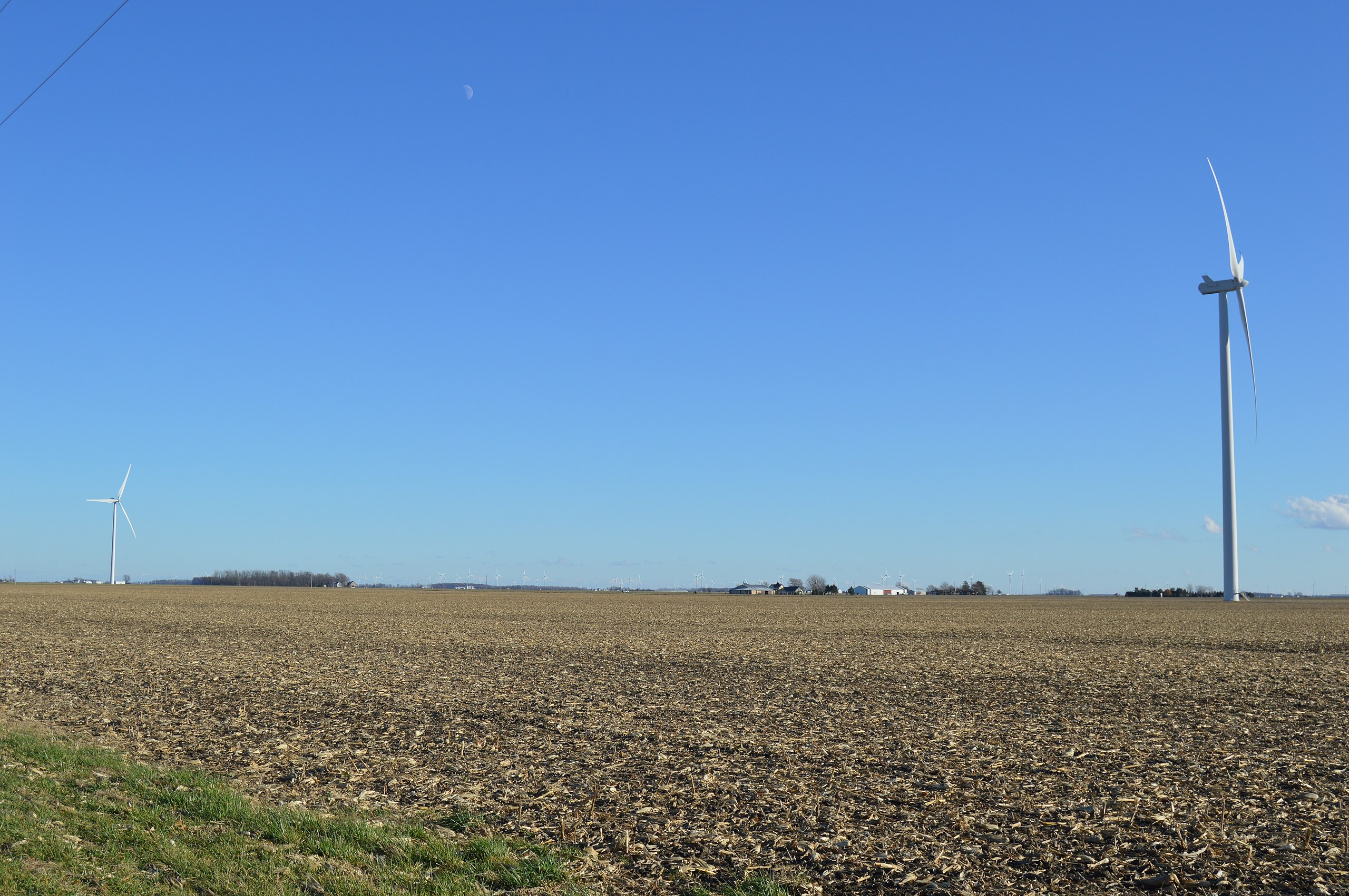
English: Looking southeast from the junction of State Route 49 and Road 72 south of Payne in Benton Township, Paulding County, Ohio, United States. |
||
| Date | Taken on 19 November 2015 | ||
| Source | Own work | ||
| Author | Nyttend | ||
| Permission (Reusing this file) |
|
File history
Click on a date/time to view the file as it appeared at that time.
| Date/Time | Thumbnail | Dimensions | User | Comment | |
|---|---|---|---|---|---|
| current | 01:26, 24 November 2015 | | 6,016 × 4,000 (6.19 MB) | Nyttend (talk | contribs) | {{Location|41|3|45|N|84|43|36|W}} {{Information |Description={{en|Looking southeast from the junction of {{w|Ohio State Route 49|State Route 49}} and Road 72 south of {{w|Payne, Ohio|Payne}} in {{w|Benton Township, Paulding County, Ohio|Benton Township... |
You cannot overwrite this file.
File usage on Commons
The following 2 pages use this file:
File usage on other wikis
The following other wikis use this file:
- Usage on en.wikipedia.org
- Usage on es.wikipedia.org
- Usage on eu.wikipedia.org
- Usage on fa.wikipedia.org
- Usage on pt.wikipedia.org
- Usage on ur.wikipedia.org
- Usage on vi.wikipedia.org
- Usage on www.wikidata.org