File:Biodiversitätspfad Lagekarte.png
Jump to navigation
Jump to search
Size of this preview: 600 × 599 pixels. Other resolutions: 240 × 240 pixels | 481 × 480 pixels | 902 × 901 pixels.
Original file (902 × 901 pixels, file size: 997 KB, MIME type: image/png)
Captions
Captions
Add a one-line explanation of what this file represents
Summary
[edit]
| Description |
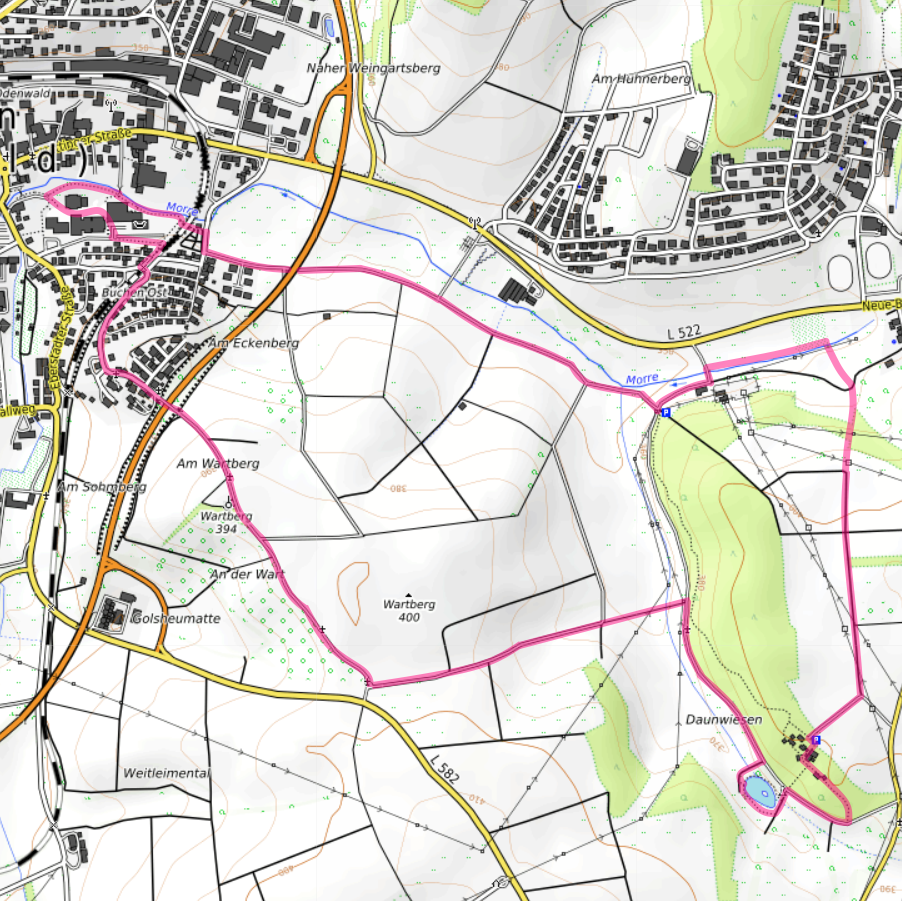
Deutsch: Biodiversitätspfad Lagekarte |
| Date | |
| Source | https://www.opentopomap.org/#map=15/49.51504/9.35018 |
| Author | author=Granpar, Author=Map data: © OpenStreetMap-Contributors, SRTM | map rendition: © OpenTopoMap |
Licensing
[edit]
This file is licensed under the Creative Commons Attribution 3.0 Unported license.
- You are free:
- to share – to copy, distribute and transmit the work
- to remix – to adapt the work
- Under the following conditions:
- attribution – You must give appropriate credit, provide a link to the license, and indicate if changes were made. You may do so in any reasonable manner, but not in any way that suggests the licensor endorses you or your use.
File history
Click on a date/time to view the file as it appeared at that time.
| Date/Time | Thumbnail | Dimensions | User | Comment | |
|---|---|---|---|---|---|
| current | 18:12, 16 May 2023 | | 902 × 901 (997 KB) | Granpar (talk | contribs) | Uploaded a work by author=Granpar, Author=Map data: © [https://openstreetmap.org/copyright OpenStreetMap]-Contributors, [http://viewfinderpanoramas.org SRTM] {{!}} map rendition: © [https://opentopomap.org OpenTopoMap] from https://www.opentopomap.org/#map=15/49.51504/9.35018 with UploadWizard |
You cannot overwrite this file.
File usage on Commons
The following 2 pages use this file:
File usage on other wikis
The following other wikis use this file:
- Usage on de.wikipedia.org
- Usage on www.wikidata.org