File:Bogova Waterfall - Mapillary (urmOoawelw6W67SolMO-zQ).jpg
Jump to navigation
Jump to search
Size of this preview: 800 × 530 pixels. Other resolutions: 320 × 212 pixels | 640 × 424 pixels | 1,024 × 679 pixels | 1,280 × 848 pixels | 1,560 × 1,034 pixels.
Original file (1,560 × 1,034 pixels, file size: 248 KB, MIME type: image/jpeg)
Captions
Captions
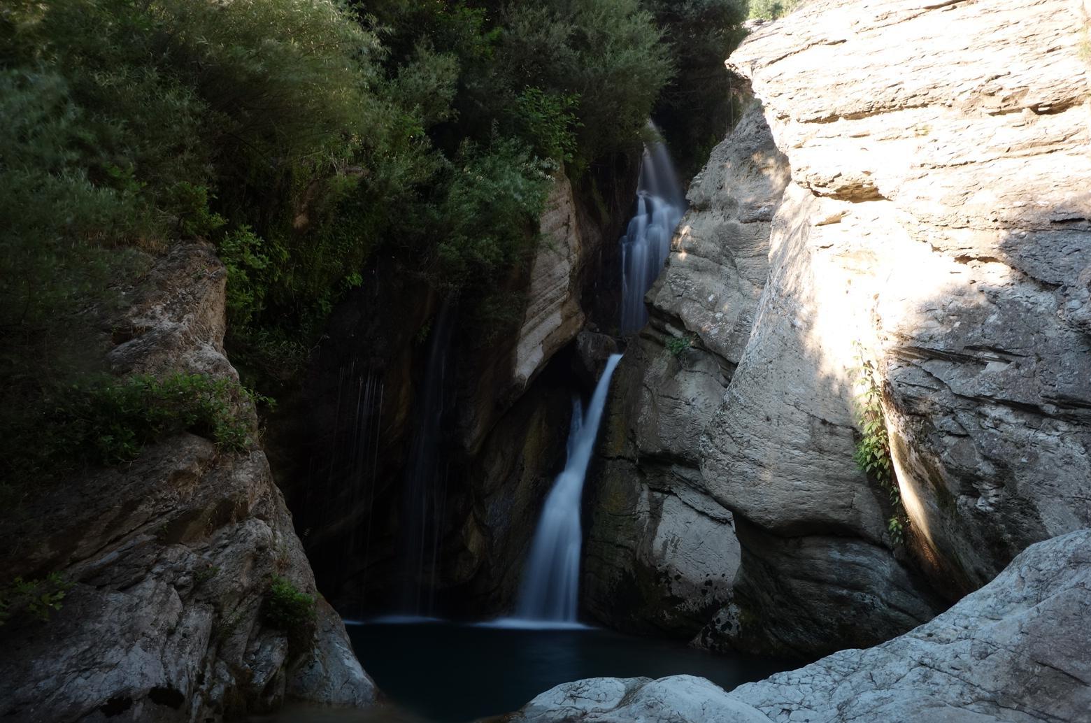
Bogova Waterfall in Albania
| Description |
Bogova Waterfall
|
||
| Date | |||
| Source |
|
||
| Author | malenki @ Mapillary.com | ||
| Permission (Reusing this file) |
This file is licensed under the Creative Commons Attribution-Share Alike 4.0 International license.
|
| Camera location | | View this and other nearby images on: OpenStreetMap |
|---|
.jpg¶ms=040.567664_N_0020.168367_E_globe:Earth_type:camera_heading:359.00&language=en)
This image was uploaded as part of Wiki Loves Earth 2016.
|
 |
File history
Click on a date/time to view the file as it appeared at that time.
| Date/Time | Thumbnail | Dimensions | User | Comment | |
|---|---|---|---|---|---|
| current | 11:25, 2 May 2018 | | 1,560 × 1,034 (248 KB) | Acabashi (talk | contribs) | Cropped 3 % horizontally, 4 % vertically using CropTool with lossless mode. Removed watermark. |
| 20:10, 28 June 2016 |  | 1,616 × 1,080 (267 KB) | Albinfo (talk | contribs) | Transferred from https://d1cuyjsrcm0gby.cloudfront.net/urmOoawelw6W67SolMO-zQ/thumb-2048.jpg |
You cannot overwrite this file.
File usage
The following page uses this file:
Global file usage
The following other wikis use this file:
- Usage on de.wikipedia.org
- Usage on en.wikipedia.org
- Usage on fr.wikipedia.org
- Usage on kk.wikipedia.org
- Usage on lv.wikipedia.org
- Usage on sl.wikipedia.org
- Usage on sq.wikipedia.org
- Usage on www.wikidata.org
.jpg&oldid=827955644)