File:Boguchwała (gmina) location map.png

Original file (2,361 × 1,672 pixels, file size: 1.17 MB, MIME type: image/png)
Captions
Captions
Summary[edit]
_location_map.png&action=edit§ion=1)
| Description |
English: Location map |
| Date | |
| Source | Own work |
| Author | Smat |
| Description |
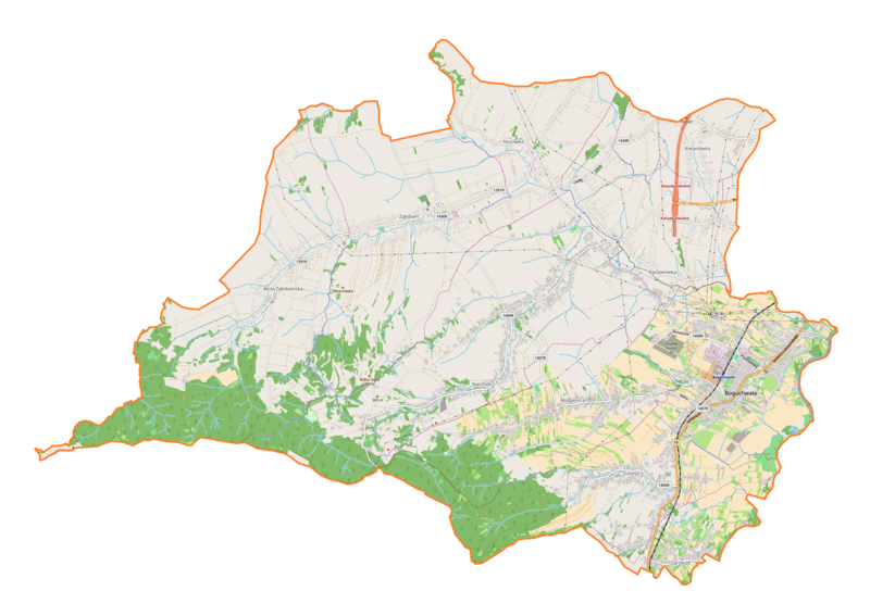
Polski: Mapa gminy Boguchwała, Polska
English: Map of Boguchwała (gmina), Poland |
|||||||||
| Date | ||||||||||
| Source | You may find a page on the OpenStreetMap wiki page for Boguchwała (gmina) | |||||||||
| Creator |
OpenStreetMap contributors OpenStreetMap contributors |
|||||||||
| Permission (Reusing this file) |
OpenStreetMap data is available under the Open Database License (details). Map tiles are licensed under the Creative Commons Attribution-ShareAlike 2.0 license (CC-BY-SA 2.0).
This file is licensed under the Creative Commons Attribution-Share Alike 2.0 Generic license.
|
|||||||||
| Geotemporal data | ||||||||||
| Bounding box |
|
|||||||||
| Georeferencing | If inappropriate please set warp_status = skip to hide. | |||||||||
Licensing[edit]
_location_map.png&action=edit§ion=2)
| This work contains information from OpenStreetMap, which is made available under the Open Database License (ODbL).
The ODbL does not require any particular license for maps produced from ODbL data. Prior to 1 August 2020, map tiles produced by the OpenStreetMap Foundation were licensed under the CC-BY-SA-2.0 license. Maps produced by other people may be subject to other licences. |
File history
Click on a date/time to view the file as it appeared at that time.
| Date/Time | Thumbnail | Dimensions | User | Comment | |
|---|---|---|---|---|---|
| current | 09:15, 20 August 2018 | | 2,361 × 1,672 (1.17 MB) | Smat (talk | contribs) | User created page with UploadWizard |
You cannot overwrite this file.
File usage on Commons
There are no pages that use this file.
File usage on other wikis
The following other wikis use this file:
- Usage on pl.wikipedia.org
- Zgłobień
- Boguchwała
- Lutoryż
- Kielanówka (wieś)
- Niechobrz
- Racławówka
- Wola Zgłobieńska
- Nosówka (Polska)
- Mogielnica (województwo podkarpackie)
- Zarzecze (powiat rzeszowski)
- Parafia św. Stanisława Biskupa w Boguchwale
- Parafia Matki Bożej Częstochowskiej i św. Józefa w Lutoryżu
- Parafia Podwyższenia Krzyża Świętego i Najświętszej Maryi Panny Matki Kościoła w Mogielnicy
- Parafia Matki Bożej Nieustającej Pomocy w Niechobrzu
- Parafia Matki Bożej Królowej Polski w Woli Zgłobieńskiej
- Parafia Wszystkich Świętych w Zabierzowie
- Parafia św. Andrzeja Apostoła w Zgłobniu
- Boguchwała (stacja kolejowa)
- Wisłoczanka
- Zabierzów (Racławówka)
- Stary kościół św. Stanisława w Boguchwale
- Parafia św. Urszuli Ledóchowskiej w Kielanówce
- Doły (Racławówka)
- Zagrody (Racławówka)
- Moduł:Mapa/dane/Boguchwała (gmina)
- Moduł:Mapa/dane/Boguchwała
- Izo Arena
- Kościół św. Stanisława w Boguchwale
- Usage on pl.wikibooks.org
_location_map.png&oldid=827965943)