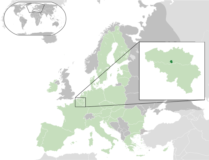
File:Brussels in Belgium and the European Union.svg
维基共享资源,媒体文件资料库
跳转到导航
跳转到搜索
此SVG文件的PNG预览的大小:680 × 520像素。 其他分辨率:314 × 240像素 | 628 × 480像素 | 1,004 × 768像素 | 1,280 × 979像素 | 2,560 × 1,958像素。
原始文件 (SVG文件,尺寸为680 × 520像素,文件大小:2.37 MB)
文件信息
结构化数据
说明
文件历史
点击某个日期/时间查看对应时刻的文件。
日期/时间 | 缩略图 | 大小 | 用户 | 备注 | |
---|---|---|---|---|---|
当前 | 2021年8月25日 (三) 16:44 | 680 × 520(2.37 MB) | DankJae(留言 | 贡献) | Removed UK from EU, changed inset | |
2013年8月1日 (四) 20:02 | 680 × 520(2.37 MB) | Klodde(留言 | 贡献) | Lines | ||
2013年8月1日 (四) 19:55 | 680 × 520(2.37 MB) | Klodde(留言 | 贡献) | European Union | ||
2013年8月1日 (四) 00:43 | 680 × 520(2.36 MB) | Klodde(留言 | 贡献) | Modern version | ||
2009年4月7日 (二) 22:45 | 593 × 454(1.12 MB) | Ssolbergj(留言 | 贡献) | impr | ||
2008年7月25日 (五) 22:48 | 593 × 454(1.12 MB) | Ssolbergj(留言 | 贡献) | {{Information |Description= |Source= |Date= |Author= |Permission= |other_versions= }} | ||
2008年7月25日 (五) 22:41 | 593 × 454(1.12 MB) | Ssolbergj(留言 | 贡献) | {{Information |Description= |Source= |Date= |Author= |Permission= |other_versions= }} | ||
2008年7月7日 (一) 20:05 | 585 × 451(645 KB) | Ssolbergj(留言 | 贡献) | {{Information |Description= |Source= |Date= |Author= |Permission= |other_versions= }} | ||
2008年7月4日 (五) 21:07 | 585 × 451(682 KB) | Ssolbergj(留言 | 贡献) | {{Information |Description= |Source= |Date= |Author= |Permission= |other_versions= }} | ||
2008年1月8日 (二) 21:42 | 582 × 451(681 KB) | Ssolbergj(留言 | 贡献) | {{Information |Description= |Source= |Date= |Author= |Permission= |other_versions= }} |
您不可以覆盖此文件。
文件用途
以下页面使用本文件:
全域文件用途
以下其他wiki使用此文件:
- ace.wikipedia.org上的用途
- af.wikipedia.org上的用途
- an.wikipedia.org上的用途
- ar.wikipedia.org上的用途
- arz.wikipedia.org上的用途
- bi.wikipedia.org上的用途
- bn.wikipedia.org上的用途
- bs.wikipedia.org上的用途
- en.wikipedia.org上的用途
- eu.wikipedia.org上的用途
- fiu-vro.wikipedia.org上的用途
- fi.wikipedia.org上的用途
- fr.wikipedia.org上的用途
- gag.wikipedia.org上的用途
- gu.wikipedia.org上的用途
- gv.wikipedia.org上的用途
- hak.wikipedia.org上的用途
- he.wikipedia.org上的用途
- hif.wikipedia.org上的用途
- hr.wikipedia.org上的用途
- ht.wikipedia.org上的用途
- id.wikipedia.org上的用途
- incubator.wikimedia.org上的用途
- ja.wikipedia.org上的用途
- jbo.wikipedia.org上的用途
- kn.wikipedia.org上的用途
- ko.wikipedia.org上的用途
- lt.wikipedia.org上的用途
- mi.wikipedia.org上的用途
- mk.wikipedia.org上的用途
- ml.wikipedia.org上的用途
- new.wikipedia.org上的用途
- nl.wikipedia.org上的用途
- nrm.wikipedia.org上的用途
- or.wikipedia.org上的用途
- pa.wikipedia.org上的用途
- pnb.wikipedia.org上的用途
- pt.wikipedia.org上的用途
- rm.wikipedia.org上的用途
- sah.wikipedia.org上的用途
- sh.wikipedia.org上的用途
查看本文件的更多全域用途。
元数据
此文件中包含有额外的信息。这些信息可能是由数码相机或扫描仪在创建或数字化过程中所添加。
如果文件已从其原始状态修改,某些细节可能无法完全反映修改后的文件。
简称 | The Brussels-Capital Region within Belgium and Europe |
---|---|
图像标题 | Map of the Brussels-Capital Region within Belgium, and within Europe.
Released under Creative Commons Attribution-Share Alike 3.0 Unported (-{R|http://creativecommons.org/licenses/by-sa/3.0/}-). Based upon -{R|http://commons.wikimedia.org/wiki/File:Blank_map_of_Europe.svg}-; licence and details below: A blank Map of Europe. Every country has an id which is its ISO-3166-1-ALPHA2 code in lower case. Members of the EU have a class="eu", countries in europe (which I found turkey to be but russia not) have a class="europe". Certain countries are further subdivided the United Kingdom has gb-gbn for Great Britain and gb-nir for Northern Ireland. Russia is divided into ru-kgd for the Kaliningrad Oblast and ru-main for the Main body of Russia. There is the additional grouping #xb for the "British Islands" (the UK with its Crown Dependencies - Jersey, Guernsey and the Isle of Man) Contributors. Original Image: (-{R|http://commons.wikimedia.org/wiki/Image:Europe_countries.svg}-) Júlio Reis (-{R|http://commons.wikimedia.org/wiki/User:Tintazul}-). Recolouring and tagging with country codes: Marian "maix" Sigler (-{R|http://commons.wikimedia.org/wiki/User:Maix}-) Improved geographical features: -{R|http://commons.wikimedia.org/wiki/User:W!B}-: Updated to reflect dissolution of Serbia & Montenegro: -{R|http://commons.wikimedia.org/wiki/User:Zirland}- Updated to include British Crown Dependencies as seperate entities and regroup them as "British Islands", with some simplifications to the XML and CSS: James Hardy (-{R|http://commons.wikimedia.org/wiki/User:MrWeeble}-) Validated (-{R|http://commons.wikimedia.org/wiki/User:CarolSpears}-) Changed the country code of Serbia to RS per -{R|http://en.wikipedia.org/wiki/Serbian_country_codes}- and the file -{R|http://www.iso.org/iso/iso3166_en_code_lists.txt}- (-{R|http://commons.wikimedia.org/wiki/User:TimothyBourke}-) Uploaded on behalf of User:Checkit, direct complaints to him plox: 'Moved countries out of the "outlines" group, removed "outlines" style class, remove separate style information for Russia' (-{R|http://commons.wikimedia.org/wiki/User:Collard}-) Updated various coastlines and boarders and added various islands not previously shown (details follow). Added Kosovo and Northern Cyprus as disputed territories. Moved major lakes to their own object and added more. List of updated boarders/coastlines: British Isles (+ added Isle of Wight, Skye, various smaller islands), the Netherlands, Germany, Czech Republic, Denmark, Sweden, Finland, Poland, Kaliningrad Oblast of the Russian Federation (and minor tweaks to Lithuania), Ukraine, Moldova (minor), Romania, Bulgaria, Turkey, Greece, F.Y.R. Macedonia, Serbia, Bosnia and Herzegovina, Montenegro, Albania, Croatia, Italy (mainland and Sicily), Malta (-{R|http://commons.wikimedia.org/wiki/User:Alphathon}-). Added Bornholm (-{R|http://commons.wikimedia.org/wiki/User:Heb}-)
|
宽度 | 680 |
高度 | 520 |