File:Burg Lichtenstein - panoramio.jpg
Jump to navigation
Jump to search

Size of this preview: 600 × 600 pixels. Other resolutions: 240 × 240 pixels | 480 × 480 pixels | 768 × 768 pixels | 1,024 × 1,024 pixels | 1,303 × 1,303 pixels.
Original file (1,303 × 1,303 pixels, file size: 718 KB, MIME type: image/jpeg)
Captions
Captions
Add a one-line explanation of what this file represents
Summary
[edit]
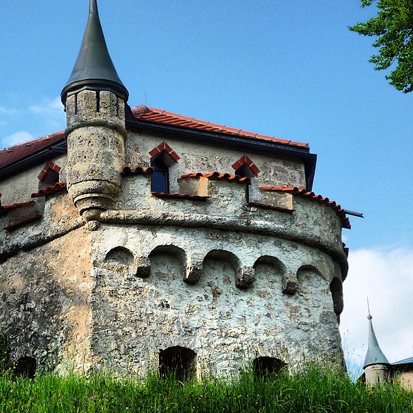
| Description | Burg Lichtenstein | ||
| Date | 31 December 2012 (original upload date) | ||
| Source | https://web.archive.org/web/20161024121744/http://www.panoramio.com/photo/84067200 | ||
| Author | Marlene Bitzer | ||
| Permission (Reusing this file) |
This file is licensed under the Creative Commons Attribution 3.0 Unported license. Attribution: Marlene Bitzer
|
||
| Tags (from Panoramio photo page) | Reutlingen, 2012, Baden-Württemberg, best, Deutschland, Lichtenstein, Pressebüro Bitzer, Reutlingen |
File history
Click on a date/time to view the file as it appeared at that time.
| Date/Time | Thumbnail | Dimensions | User | Comment | |
|---|---|---|---|---|---|
| current | 07:54, 10 February 2017 | | 1,303 × 1,303 (718 KB) | Panoramio upload bot (talk | contribs) | == {{int:filedesc}} == {{Information |description=Burg Lichtenstein |date={{Original upload date|2012-12-31}} |source=http://www.panoramio.com/photo/84067200 |author=[http://www.panoramio.com/user/6129630?with_photo_id=84067200 Marlene Bitzer] |permiss... |
You cannot overwrite this file.
File usage on Commons
There are no pages that use this file.
File usage on other wikis
The following other wikis use this file:
- Usage on www.wikidata.org