File:Burzenin (gmina) location map.png
Original file (1,855 × 2,156 pixels, file size: 505 KB, MIME type: image/png)
Captions
Captions
Summary
[edit]_location_map.png&action=edit§ion=1)
| Description |
English: Location map |
| Date | |
| Source | Own work |
| Author | Smat |
| Description |
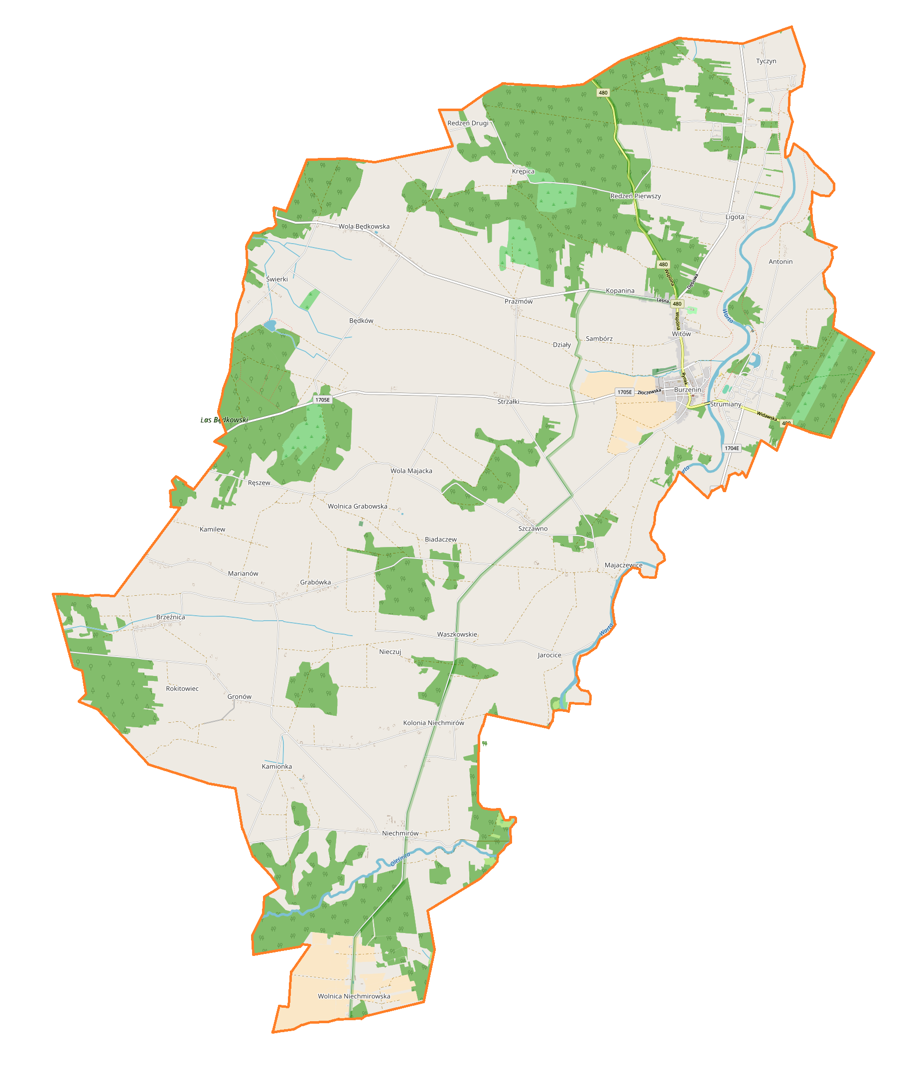
Polski: Mapa gminy Burzenin, Polska
English: Map of Burzenin (gmina), Poland |
|||||||||
| Date | ||||||||||
| Source | You may find a page on the OpenStreetMap wiki page for Burzenin (gmina) | |||||||||
| Creator |
OpenStreetMap contributors OpenStreetMap contributors |
|||||||||
| Permission (Reusing this file) |
OpenStreetMap data is available under the Open Database License (details). Map tiles are licensed under the Creative Commons Attribution-ShareAlike 2.0 license (CC-BY-SA 2.0).
This file is licensed under the Creative Commons Attribution-Share Alike 2.0 Generic license.
|
|||||||||
| Geotemporal data | ||||||||||
| Bounding box |
|
|||||||||
| Georeferencing | If inappropriate please set warp_status = skip to hide. | |||||||||
Licensing
[edit]_location_map.png&action=edit§ion=2)
| This work contains information from OpenStreetMap, which is made available under the Open Database License (ODbL).
The ODbL does not require any particular license for maps produced from ODbL data. Prior to 1 August 2020, map tiles produced by the OpenStreetMap Foundation were licensed under the CC-BY-SA-2.0 license. Maps produced by other people may be subject to other licences. |
File history
Click on a date/time to view the file as it appeared at that time.
| Date/Time | Thumbnail | Dimensions | User | Comment | |
|---|---|---|---|---|---|
| current | 15:36, 13 January 2018 | | 1,855 × 2,156 (505 KB) | Smat (talk | contribs) | User created page with UploadWizard |
You cannot overwrite this file.
File usage on Commons
There are no pages that use this file.
File usage on other wikis
The following other wikis use this file:
- Usage on pl.wikipedia.org
- Burzenin
- Niechmirów
- Biadaczew
- Jarocice
- Majaczewice
- Nieczuj
- Redzeń Drugi
- Wola Będkowska
- Wolnica Grabowska
- Wolnica Niechmirowska
- Antonin (powiat sieradzki)
- Brzeźnica (województwo łódzkie)
- Grabówka (województwo łódzkie)
- Gronów (województwo łódzkie)
- Prażmów (województwo łódzkie)
- Strumiany (województwo łódzkie)
- Strzałki (województwo łódzkie)
- Szczawno (województwo łódzkie)
- Świerki (województwo łódzkie)
- Tyczyn (wieś)
- Będków (powiat sieradzki)
- Witów (gmina Burzenin)
- Kamionka (powiat sieradzki)
- Ligota (wieś w powiecie sieradzkim)
- Marianów (gmina Burzenin)
- Waszkowskie
- Redzeń Pierwszy
- Zarośle (Majaczewice)
- Synagoga w Burzeninie
- Sambórz (województwo łódzkie)
- Działy (powiat sieradzki)
- Kamilew (powiat sieradzki)
- Kolonia Niechmirów
- Kopanina (powiat sieradzki)
- Krępica (województwo łódzkie)
- Ręszew
- Rokitowiec (województwo łódzkie)
- Wola Majacka
- Cmentarz żydowski w Burzeninie
- Parafia św. Wojciecha i św. Stanisława w Burzeninie
- Kościół św. Wojciecha i św. Stanisława w Burzeninie
- Zespół przyrodniczo-krajobrazowy „Góry Wapienne”
- Ligota (kolonia w powiecie sieradzkim)
- Tyczyn (osada)
- Moduł:Mapa/dane/Burzenin (gmina)
- Parafia Matki Boskiej Częstochowskiej w Grabówce
- Sęk (Będków)
- Usage on pl.wikibooks.org
_location_map.png&oldid=839506040)