File:CB Roudné.png
Jump to navigation
Jump to search

Size of this preview: 647 × 599 pixels. Other resolutions: 259 × 240 pixels | 518 × 480 pixels | 829 × 768 pixels | 1,105 × 1,024 pixels | 1,348 × 1,249 pixels.
Original file (1,348 × 1,249 pixels, file size: 65 KB, MIME type: image/png)
Captions
Captions
Add a one-line explanation of what this file represents
Summary
[edit]
| Description |
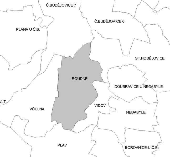
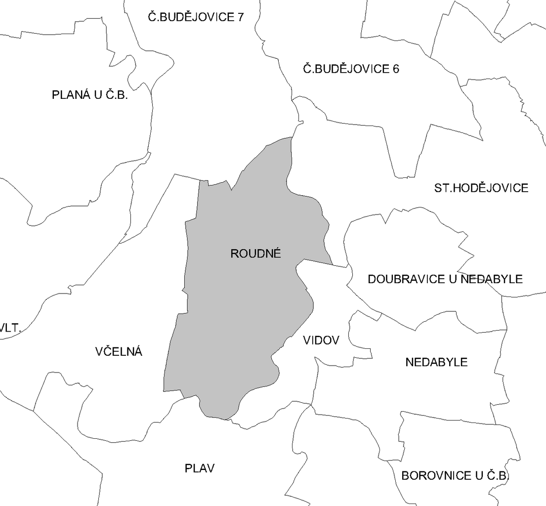
Čeština: Katastrální území Roudného |
| Source | Own work |
| Author | JAn Dudík |
Licensing
[edit]
| I, the copyright holder of this work, release this work into the public domain. This applies worldwide. In some countries this may not be legally possible; if so: I grant anyone the right to use this work for any purpose, without any conditions, unless such conditions are required by law. |
File history
Click on a date/time to view the file as it appeared at that time.
| Date/Time | Thumbnail | Dimensions | User | Comment | |
|---|---|---|---|---|---|
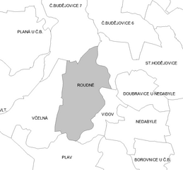
| current | 09:40, 8 May 2012 | | 1,348 × 1,249 (65 KB) | Fext (talk | contribs) | Zpřehlednění |
| 21:52, 8 September 2009 |  | 1,348 × 1,249 (35 KB) | JAn Dudík (talk | contribs) | {{Information |Description={{cs|1=Katastrální území Roudného}} |Source=own work |Author=JAn Dudík |Date= |Permission= |other_versions= }} Category:Locator maps of municipalities of České Budějovice District Category:Roudné |
You cannot overwrite this file.
File usage on Commons
The following page uses this file:
File usage on other wikis
The following other wikis use this file:
- Usage on cs.wikipedia.org