File:CGJLHWMap02.svg
Jump to navigation
Jump to search

Size of this PNG preview of this SVG file: 731 × 522 pixels. Other resolutions: 320 × 229 pixels | 640 × 457 pixels | 1,024 × 731 pixels | 1,280 × 914 pixels | 2,560 × 1,828 pixels.
Original file (SVG file, nominally 731 × 522 pixels, file size: 313 KB)
Captions
Captions
Add a one-line explanation of what this file represents
| Description |
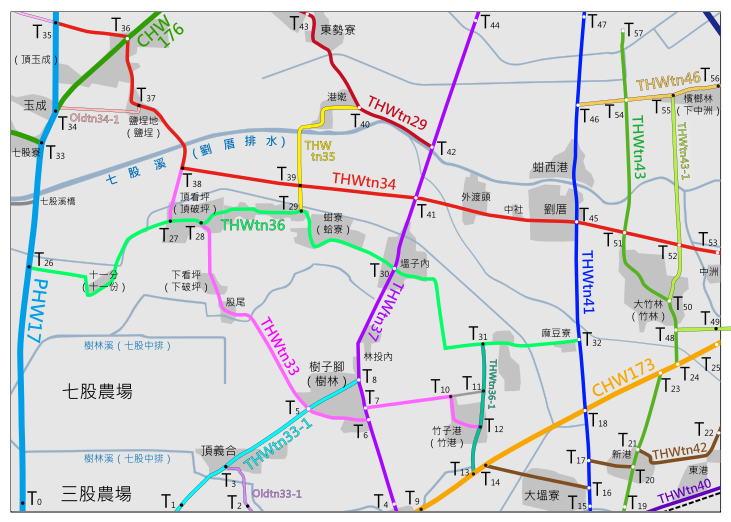
中文(臺灣):佳里、七股及西港鄉公路地圖(北側) |
||
| Date | |||
| Source | Own work | ||
| Author | ICEFTP | ||
| Permission (Reusing this file) |
|
File history
Click on a date/time to view the file as it appeared at that time.
| Date/Time | Thumbnail | Dimensions | User | Comment | |
|---|---|---|---|---|---|
| current | 12:16, 28 September 2010 | | 731 × 522 (313 KB) | ICEFTP (talk | contribs) | Modify the boundry of the map. |
| 15:44, 20 September 2010 |  | 743 × 515 (274 KB) | ICEFTP (talk | contribs) | {{Information |Description={{zh-tw|1=佳里、七股及西港鄉公路地圖(北側)}} |Source={{own}} |Author=ICEFTP |Date=2010-09-20 |Permission={{PD-self}} |other_versions= }} Category:SVG maps of Tainan |
You cannot overwrite this file.
File usage on Commons
The following page uses this file:
File usage on other wikis
The following other wikis use this file: