File:CZ-mapa.png
Jump to navigation
Jump to search
No higher resolution available.
CZ-mapa.png (330 × 355 pixels, file size: 146 KB, MIME type: image/png)
Captions
Captions
Add a one-line explanation of what this file represents
| Description |
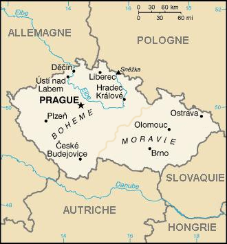
Čeština: Tento obrázek byl zkopírován z francozské wikipedie. Původní popis byl: carte de la Rép. tchèque - původ fr:CIA World Factbook; pofrancouzštění Marc Liger
English: This image was copied from wikipedia:fr. The original description was:carte de la Rép. tchèque - origine fr:CIA World Factbook; francisation maison |
|||
| Source | CIA World Fact Book | |||
| Author | CIA | |||
| Permission (Reusing this file) |
|

File history
Click on a date/time to view the file as it appeared at that time.
| Date/Time | Thumbnail | Dimensions | User | Comment | |
|---|---|---|---|---|---|
| current | 16:01, 17 February 2020 | | 330 × 355 (146 KB) | Claude Zygiel (talk | contribs) | Bohême et Moravie en français comme les autres noms |
| 13:17, 29 September 2006 |  | 330 × 355 (145 KB) | Loveless (talk | contribs) | This image was copied from wikipedia:fr. The original description was: carte de la Rép. tchèque - origine fr:CIA World Factbook {{PD}} francisation maison {| border="1" ! date/time || username || resolution || size |
You cannot overwrite this file.
File usage on Commons
There are no pages that use this file.
File usage on other wikis
The following other wikis use this file:
- Usage on fr.wikipedia.org
- Usage on ku.wikipedia.org