File:Calanchi di Torranello 01.jpg
Jump to navigation
Jump to search
Size of this preview: 800 × 449 pixels. Other resolutions: 320 × 180 pixels | 640 × 359 pixels | 1,024 × 575 pixels | 1,280 × 719 pixels | 2,560 × 1,438 pixels | 3,992 × 2,242 pixels.
Original file (3,992 × 2,242 pixels, file size: 1.85 MB, MIME type: image/jpeg)
Captions
Captions
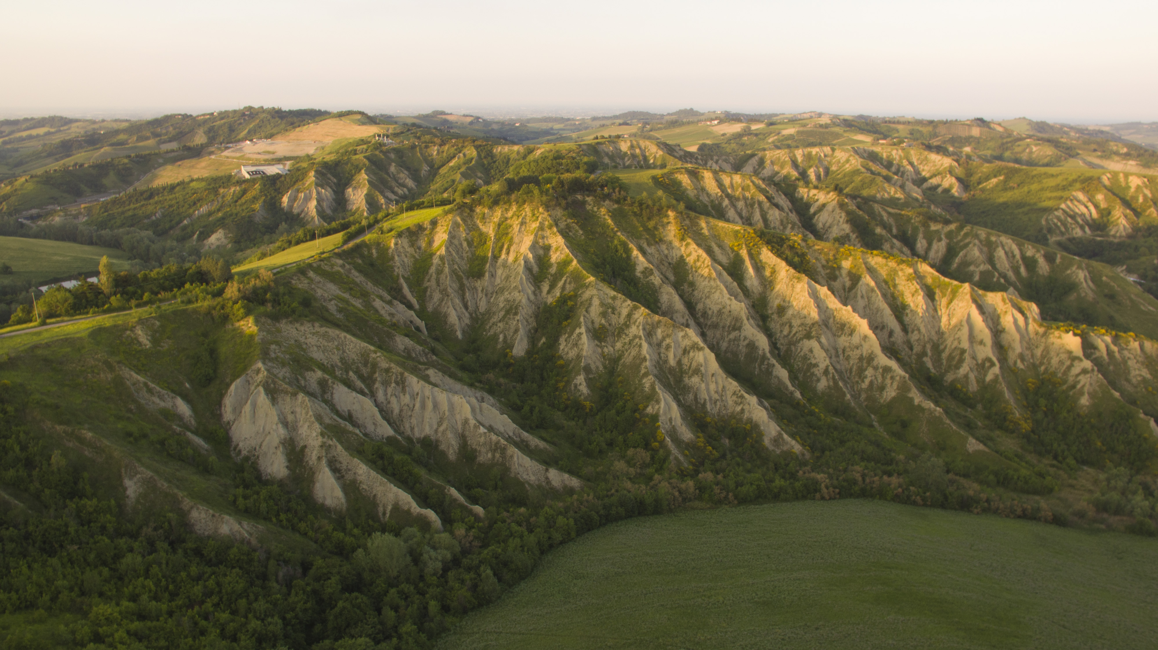
Badlands of the gypsum vein of Romagna in the vicinity of Toranello, Riolo Terme (RA)
Summary[edit]
| Description |
Italiano: parco regionale della Vena del Gesso Romagnola (Q3895428) |
| Date | |
| Source | Own work |
| Author | Giosbriff |
| Camera location | | View this and other nearby images on: OpenStreetMap |
|---|
Licensing[edit]
I, the copyright holder of this work, hereby publish it under the following license:
This file is licensed under the Creative Commons Attribution-Share Alike 4.0 International license.
- You are free:
- to share – to copy, distribute and transmit the work
- to remix – to adapt the work
- Under the following conditions:
- attribution – You must give appropriate credit, provide a link to the license, and indicate if changes were made. You may do so in any reasonable manner, but not in any way that suggests the licensor endorses you or your use.
- share alike – If you remix, transform, or build upon the material, you must distribute your contributions under the same or compatible license as the original.
This image was uploaded as part of Wiki Loves Earth 2019.
|
 |
File history
Click on a date/time to view the file as it appeared at that time.
| Date/Time | Thumbnail | Dimensions | User | Comment | |
|---|---|---|---|---|---|
| current | 07:50, 8 June 2019 | | 3,992 × 2,242 (1.85 MB) | Giosbriff (talk | contribs) | User created page with UploadWizard |
You cannot overwrite this file.
File usage on Commons
The following 2 pages use this file:
File usage on other wikis
The following other wikis use this file:
- Usage on it.wikipedia.org
- Usage on www.wikidata.org