File:Camargue, Petite Camargue et Parc naturel reg.png
跳至導覽
跳至搜尋
預覽大小:800 × 441 像素。 其他解析度:320 × 176 像素 | 640 × 353 像素 | 1,024 × 565 像素 | 1,436 × 792 像素。
原始檔案 (1,436 × 792 像素,檔案大小:63 KB,MIME 類型:image/png)
說明
說明
添加單行說明來描述出檔案所代表的內容
| 描述 | ||||
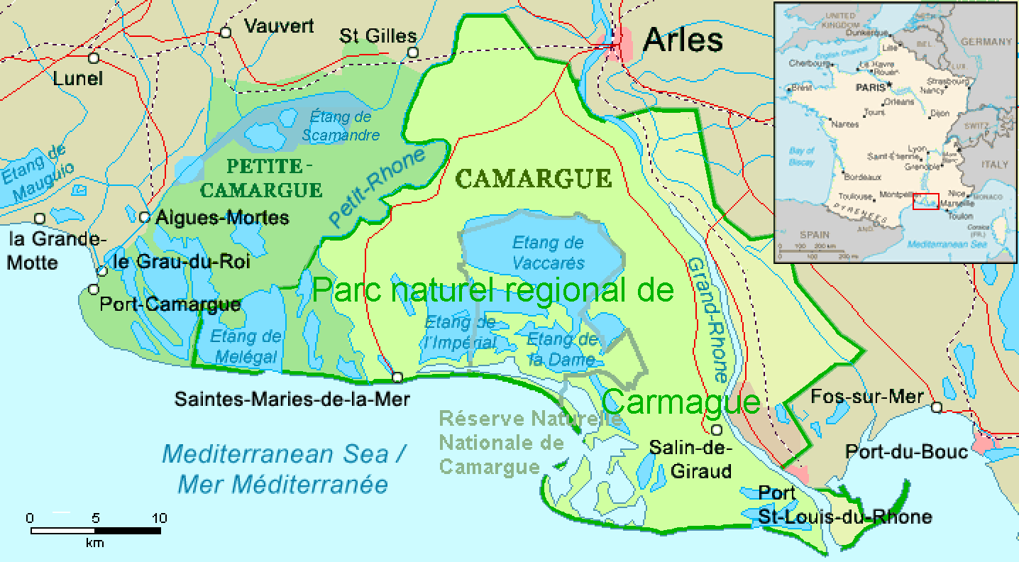
| 日期 | revision 2016-11-21 | |||
| 來源 | Combination of CIA World Factbook map (Image:Fr-map.png) and Demis Map Server (http://www2.demis.nl/mapserver/mapper.asp) data with additional annotations and modifications by self. | |||
| 作者 | ChrisO, revision by Ulamm (對話) | |||
| 其他版本 |
File:Camargue map.png (source)
|

檔案歷史
點選日期/時間以檢視該時間的檔案版本。
| 日期/時間 | 縮圖 | 尺寸 | 用戶 | 備註 | |
|---|---|---|---|---|---|
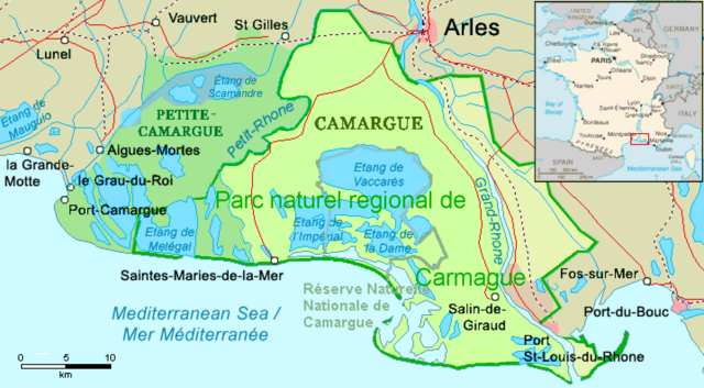
| 目前 | 2016年12月1日 (四) 01:22 | | 1,436 × 792(63 KB) | Ulamm(對話 | 貢獻) | name "Grand-Rhône" and the lower courses of Vostre & Vidourle rivers |
| 2016年11月21日 (一) 22:43 |  | 1,436 × 792(63 KB) | Ulamm(對話 | 貢獻) | {{Information |Description= {{en|Map of the Camargue region, southern France}} |Source=Combination of CIA World Factbook map (Image:Fr-map.png) and Demis Map Server (http://www2.demis.nl/mapserver/mapper.asp) data with additional annotatio... |
無法覆蓋此檔案。
檔案用途
下列5個頁面有用到此檔案:
全域檔案使用狀況
以下其他 wiki 使用了這個檔案:
- ca.wikipedia.org 的使用狀況
- de.wikipedia.org 的使用狀況
- eo.wikipedia.org 的使用狀況
- es.wikipedia.org 的使用狀況
- eu.wikipedia.org 的使用狀況
- fr.wikipedia.org 的使用狀況
- ga.wikipedia.org 的使用狀況
- it.wikipedia.org 的使用狀況
- simple.wikipedia.org 的使用狀況
- uk.wikipedia.org 的使用狀況
- vec.wikipedia.org 的使用狀況
- www.wikidata.org 的使用狀況
- zh.wikipedia.org 的使用狀況