File:Campo Manin - House where lived Daniele Manin- Venice.jpg
Jump to navigation
Jump to search

Size of this preview: 519 × 600 pixels. Other resolutions: 208 × 240 pixels | 415 × 480 pixels | 665 × 768 pixels | 886 × 1,024 pixels | 1,772 × 2,048 pixels | 4,965 × 5,737 pixels.
Original file (4,965 × 5,737 pixels, file size: 18.45 MB, MIME type: image/jpeg)
Captions
Captions
Add a one-line explanation of what this file represents
Summary[edit]
|
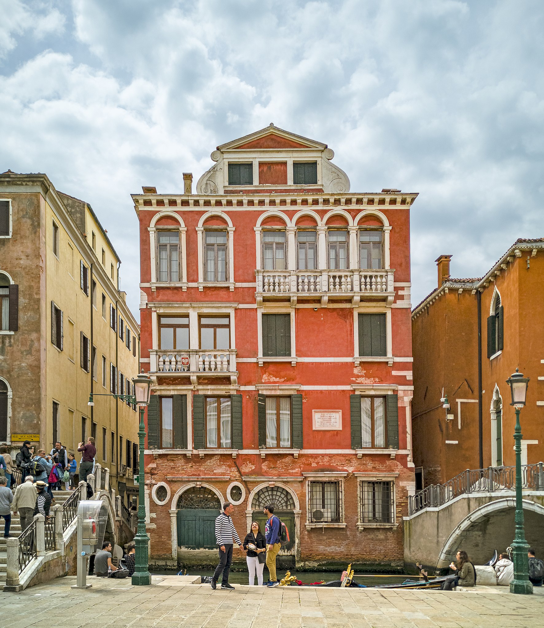
The facade of the house where lived Daniele Manin, on the Rio de San Luca, in Venice | |||||||||||||||||
|
| |||||||||||||||||

File history
Click on a date/time to view the file as it appeared at that time.
| Date/Time | Thumbnail | Dimensions | User | Comment | |
|---|---|---|---|---|---|
| current | 17:05, 16 October 2019 | | 4,965 × 5,737 (18.45 MB) | Archaeodontosaurus (talk | contribs) | {{Information |Description= |Source={{own}} |Date= |Author= Archaeodontosaurus |Permission= |other_versions= }} |
You cannot overwrite this file.
File usage on Commons
The following 2 pages use this file:
File usage on other wikis
The following other wikis use this file:
- Usage on en.wikipedia.org
- Usage on fr.wikipedia.org
- Usage on it.wikipedia.org
- Usage on nl.wikipedia.org
- Usage on pt.wikipedia.org