File:Canada (geolocalisation).svg
Aller à la navigation
Aller à la recherche

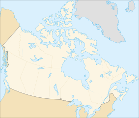
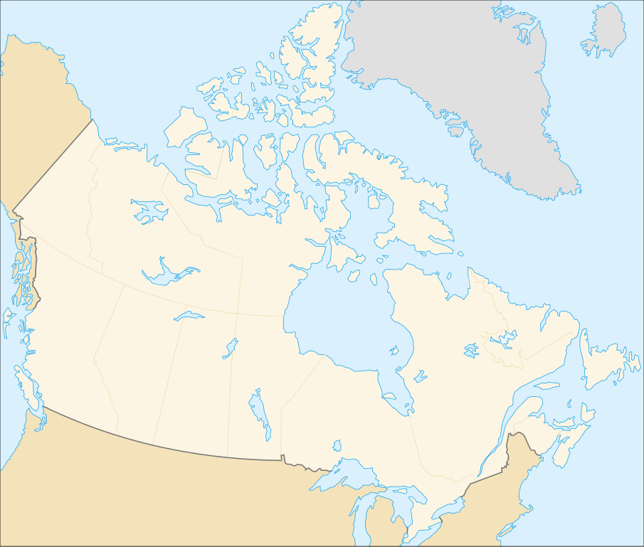
Taille de cet aperçu PNG pour ce fichier SVG : 706 × 599 pixels. Autres résolutions : 283 × 240 pixels | 566 × 480 pixels | 905 × 768 pixels | 1 207 × 1 024 pixels | 2 413 × 2 048 pixels | 1 084 × 920 pixels.
Fichier d’origine (Fichier SVG, nominalement de 1 084 × 920 pixels, taille : 94 kio)
Légendes
Légendes
Ajoutez en une ligne la description de ce que représente ce fichier
| Description |
English: cropped version of Image:Carte administrative du Canada.svg for map location. (Lambert conformal conic projection from The Atlas of Canada) |
| Date | |
| Source | Image:Carte administrative du Canada.png. |
| Auteur | STyx |
| Autorisation (Réutilisation de ce fichier) |
This file is licensed under the Creative Commons Attribution-Share Alike Attribution-Share Alike 4.0 International, 3.0 Unported, 2.5 Generic, 2.0 Generic and 1.0 Generic license.
|
| Autres versions |
Œuvres dérivées de ce fichier : |
Locations
[modifier].svg&action=edit§ion=1)
Le cadrage est x=80px, y=166px, height=920, width=1084. Quelques positions :
| x | y | |
| pôle Nord | 475.5 | -159.5 |
| Alert | 565 | 9 |
| Vancouver | 77 | 678 |
| Montréal | 807 | 798 |
| Winnipeg | 442 | 753 |
| Iqaluit | 718 | 396 |
Historique du fichier
Cliquer sur une date et heure pour voir le fichier tel qu'il était à ce moment-là.
| Date et heure | Vignette | Dimensions | Utilisateur | Commentaire | |
|---|---|---|---|---|---|
| actuel | 7 février 2007 à 01:48 | | 1 084 × 920 (94 kio) | STyx (d | contributions) | retouche mineure |
| 7 février 2007 à 01:41 |  | 1 084 × 920 (94 kio) | STyx (d | contributions) | {{Created with Inkscape}} {{Information |Description= *{{fr}} Version recadrée et épurée de Image:Carte administrative du Canada.svg pour la géolocation du Canada. Le cadrage est x=80px, y=166px, height=920, width=1084. Quelques positions : <cent |
Vous ne pouvez pas remplacer ce fichier.
Utilisations locales du fichier
Les 13 pages suivantes utilisent ce fichier :
- Canada
- User:STyx/Project Mapmaking Wiki Standards
- Commons talk:Project Mapmaking Wiki Standards/Archive01
- File:706x599-Canada-(geolocalisation)-R1.jpg
- File:706x599-Canada-(geolocalisation)-R3.jpg
- File:706x599-Canada-(geolocalisation)-R4.jpg
- File:706x699-Canada-(geolocalisation)-R2.jpg
- File:Canada location map.svg
- File:Canada map (LT).png
- File:Canada provinces (LT).png
- File:Northern Tutchone Map.svg
- File:Southern Tutchone Map.svg
- File:Tutchone map.svg
-R1.jpg)
-R3.jpg)
-R4.jpg)
-R2.jpg)
.png)
.png)
Utilisations du fichier sur d’autres wikis
Les autres wikis suivants utilisent ce fichier :
- Utilisation sur de.wikipedia.org
- Utilisation sur fr.wikipedia.org
.svg&oldid=847032199)