File:Canada (geolocalisation).svg
跳至導覽
跳至搜尋

此 SVG 檔案的 PNG 預覽的大小:706 × 599 像素。 其他解析度:283 × 240 像素 | 566 × 480 像素 | 905 × 768 像素 | 1,207 × 1,024 像素 | 2,413 × 2,048 像素 | 1,084 × 920 像素。
原始檔案 (SVG 檔案,表面大小:1,084 × 920 像素,檔案大小:94 KB)
說明
說明
添加單行說明來描述出檔案所代表的內容
| 描述 |
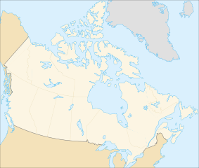
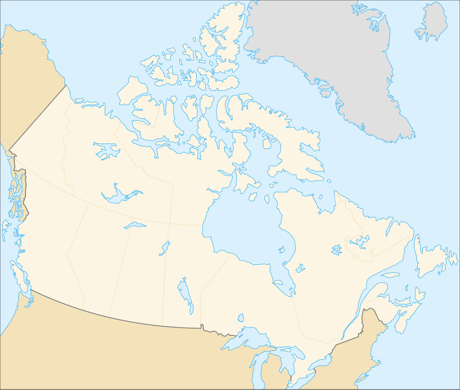
English: cropped version of Image:Carte administrative du Canada.svg for map location. (Lambert conformal conic projection from The Atlas of Canada) |
| 日期 | |
| 來源 | Image:Carte administrative du Canada.png. |
| 作者 | STyx |
| 授權許可 (重用此檔案) |
This file is licensed under the Creative Commons Attribution-Share Alike Attribution-Share Alike 4.0 International, 3.0 Unported, 2.5 Generic, 2.0 Generic and 1.0 Generic license.
|
| 其他版本 |
Derivative works of this file: |
Locations[編輯]
.svg&action=edit§ion=1)
Le cadrage est x=80px, y=166px, height=920, width=1084. Quelques positions :
| x | y | |
| pôle Nord | 475.5 | -159.5 |
| Alert | 565 | 9 |
| Vancouver | 77 | 678 |
| Montréal | 807 | 798 |
| Winnipeg | 442 | 753 |
| Iqaluit | 718 | 396 |
檔案歷史
點選日期/時間以檢視該時間的檔案版本。
| 日期/時間 | 縮圖 | 尺寸 | 用戶 | 備註 | |
|---|---|---|---|---|---|
| 目前 | 2007年2月7日 (三) 01:48 | | 1,084 × 920(94 KB) | STyx(對話 | 貢獻) | retouche mineure |
| 2007年2月7日 (三) 01:41 |  | 1,084 × 920(94 KB) | STyx(對話 | 貢獻) | {{Created with Inkscape}} {{Information |Description= *{{fr}} Version recadrée et épurée de Image:Carte administrative du Canada.svg pour la géolocation du Canada. Le cadrage est x=80px, y=166px, height=920, width=1084. Quelques positions : <cent |
無法覆蓋此檔案。
檔案用途
下列13個頁面有用到此檔案:
- Canada
- User:STyx/Project Mapmaking Wiki Standards
- Commons talk:Project Mapmaking Wiki Standards/Archive01
- File:706x599-Canada-(geolocalisation)-R1.jpg
- File:706x599-Canada-(geolocalisation)-R3.jpg
- File:706x599-Canada-(geolocalisation)-R4.jpg
- File:706x699-Canada-(geolocalisation)-R2.jpg
- File:Canada location map.svg
- File:Canada map (LT).png
- File:Canada provinces (LT).png
- File:Northern Tutchone Map.svg
- File:Southern Tutchone Map.svg
- File:Tutchone map.svg
-R1.jpg)
-R3.jpg)
-R4.jpg)
-R2.jpg)
.png)
.png)
全域檔案使用狀況
以下其他 wiki 使用了這個檔案:
- de.wikipedia.org 的使用狀況
- fr.wikipedia.org 的使用狀況
.svg&oldid=847032199)