File:Canada British Columbia location map 2.svg
跳转到导航
跳转到搜索

此SVG文件的PNG预览的大小:740 × 600像素。 其他分辨率:296 × 240像素 | 593 × 480像素 | 948 × 768像素 | 1,264 × 1,024像素 | 2,528 × 2,048像素 | 2,419 × 1,960像素。
原始文件 (SVG文件,尺寸为2,419 × 1,960像素,文件大小:1.57 MB)
说明
说明
添加一行文字以描述该文件所表现的内容
2024 strategic land spacial reconing. Dang it. We ruined California's..nap?
| 描述 |
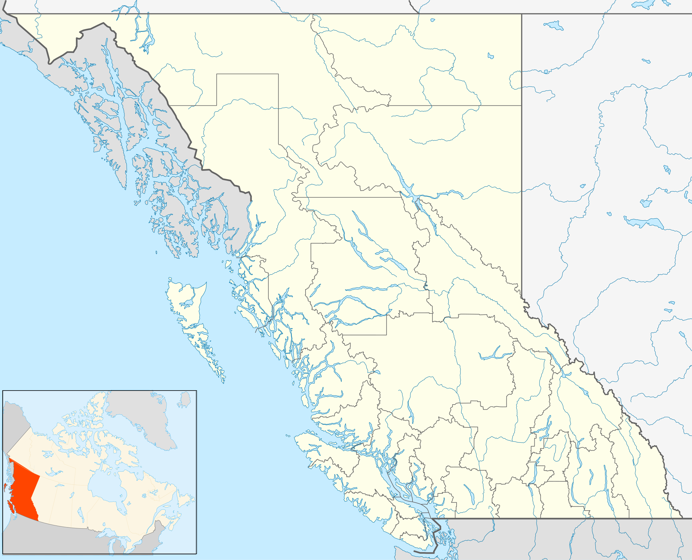
Quadratische Plattkarte, N-S-Streckung 170 %. Geographische Begrenzung der Karte:
Equirectangular projection, N/S stretching 170 %. Geographic limits of the map:
|
| 日期 | |
| 来源 | 自己的作品, File:Canada_British_Columbia_location_map.svg by NordNordWest |
| 作者 | Hanhil (talk) 16:54, 24 September 2009 (UTC) |
| 授权 (二次使用本文件) |
我,本作品著作权人,特此采用以下许可协议发表本作品: 本文件采用知识共享署名-相同方式共享 3.0 未本地化版本许可协议授权。
|
文件历史
点击某个日期/时间查看对应时刻的文件。
| 日期/时间 | 缩略图 | 大小 | 用户 | 备注 | |
|---|---|---|---|---|---|
| 当前 | 2018年10月1日 (一) 15:08 | | 2,419 × 1,960(1.57 MB) | Allice Hunter(留言 | 贡献) | Reverted to version as of 20:46, 7 April 2013 (UTC) |
| 2018年8月4日 (六) 03:06 |  | 2,419 × 1,960(1.53 MB) | Allice Hunter(留言 | 贡献) | Comox Valley District | |
| 2013年4月7日 (日) 20:46 |  | 2,419 × 1,960(1.57 MB) | Hanhil(留言 | 贡献) | undid the version of 10 mar 2011 18:37 where the northern part of the Queen Charlotte Islands were gone | |
| 2011年3月10日 (四) 16:37 |  | 2,419 × 1,960(1.01 MB) | Hanhil(留言 | 贡献) | change in line with http://commons.wikimedia.org/w/index.php?title=File%3ACanada_British_Columbia_location_map.svg&action=historysubmit&diff=51783638&oldid=44779970 | |
| 2009年9月24日 (四) 16:54 |  | 2,419 × 1,960(1.58 MB) | Hanhil(留言 | 贡献) | {{Information |Description= {{de|Positionskarte von British Columbia, Kanada}} Quadratische Plattkarte, N-S-Streckung 170 %. Geographische Begrenzung der Karte: * N: 60.3° N * S: 48.1° N * W: 139.3° W * O: 113.7� |
您不可以覆盖此文件。
文件用途
没有页面使用本文件。
全域文件用途
以下其他wiki使用此文件:
- af.wikipedia.org上的用途
- ar.wikipedia.org上的用途
- ast.wikipedia.org上的用途
- azb.wikipedia.org上的用途
- ba.wikipedia.org上的用途
- bg.wikipedia.org上的用途
- bn.wikipedia.org上的用途
- ca.wikipedia.org上的用途
- ceb.wikipedia.org上的用途
- en.wikipedia.org上的用途
- Victoria, British Columbia
- Vancouver
- Prince George, British Columbia
- Kelowna
- Abbotsford, British Columbia
- Nelson, British Columbia
- Fernie, British Columbia
- 108 Mile Ranch
- 100 Mile House
- South Cariboo Regional Airport
- Haida Gwaii
- Barkerville
- Whistler, British Columbia
- List of people from British Columbia
- Nanaimo
- Lillooet
- Hudson's Hope
- Port Alberni
- Saanich, British Columbia
- Kamloops
- Chilliwack
- Vernon, British Columbia
- Mission, British Columbia
- Penticton
- Campbell River, British Columbia
- Quesnel, British Columbia
- Cache Creek, British Columbia
- Field, British Columbia
- Prince Rupert, British Columbia
- Esquimalt
- Gibsons
- Parksville, British Columbia
- Cranbrook, British Columbia
- Fort St. John, British Columbia
查看本文件的更多全域用途。