File:Canada Manitoba location map 2.svg
跳至導覽
跳至搜尋

此 SVG 檔案的 PNG 預覽的大小:486 × 599 像素。 其他解析度:195 × 240 像素 | 389 × 480 像素 | 623 × 768 像素 | 831 × 1,024 像素 | 1,661 × 2,048 像素 | 1,512 × 1,864 像素。
原始檔案 (SVG 檔案,表面大小:1,512 × 1,864 像素,檔案大小:599 KB)
說明
說明
添加單行說明來描述出檔案所代表的內容
摘要
[編輯]
| 描述 |
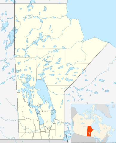
Quadratische Plattkarte, N-S-Streckung 170 %. Geographische Begrenzung der Karte:
Equirectangular projection, N/S stretching 170 %. Geographic limits of the map:
|
| 日期 | |
| 來源 | 自己的作品, File:Canada_Manitoba_location_map.svg by NordNordWest |
| 作者 | Hanhil 17:29, 24 September 2009 (UTC) |
| 授權許可 (重用此檔案) |
我,本作品的著作權持有者,決定用以下授權條款發佈本作品: 此檔案採用創用CC 姓名標示-相同方式分享 3.0 未在地化版本授權條款。
|
| SVG開發 |
檔案歷史
點選日期/時間以檢視該時間的檔案版本。
| 日期/時間 | 縮圖 | 尺寸 | 使用者 | 備註 | |
|---|---|---|---|---|---|
| 目前 | 2019年2月3日 (日) 07:31 | | 1,512 × 1,864(599 KB) | JoKalliauer(留言 | 貢獻) | valid id-names |
| 2009年9月24日 (四) 17:29 |  | 1,512 × 1,864(906 KB) | Hanhil(留言 | 貢獻) | {{Information |Description= {{de|Positionskarte von Manitoba, Kanada}} Quadratische Plattkarte, N-S-Streckung 170 %. Geographische Begrenzung der Karte: * N: 60.3° N * S: 48.7° N * W: 104.0° W * O: 88.0° W {{en|Location |
無法覆蓋此檔案。
檔案用途
沒有使用此檔案的頁面。
全域檔案使用狀況
以下其他 wiki 使用了這個檔案:
- ar.wikipedia.org 的使用狀況
- azb.wikipedia.org 的使用狀況
- ba.wikipedia.org 的使用狀況
- bg.wikipedia.org 的使用狀況
- ca.wikipedia.org 的使用狀況
- ceb.wikipedia.org 的使用狀況
- en.wikipedia.org 的使用狀況
- Gilbert Plains
- Neelin
- Cree
- The Pas
- Fort Garry
- Brandon, Manitoba
- Flin Flon
- Churchill, Manitoba
- Grunthal, Manitoba
- Lynn Lake
- International Peace Garden
- Birtle, Manitoba
- Portage la Prairie
- Dauphin, Manitoba
- Roblin, Manitoba
- Dominion City
- Manitou, Manitoba
- Forrest, Manitoba
- Thompson, Manitoba
- Steinbach, Manitoba
- Lower Fort Garry
- Deloraine, Manitoba
- Winnipegosis
- Sainte Rose du Lac
- Gunton, Manitoba
- Pisew Falls Provincial Park
- Hamiota, Manitoba
- CFB Shilo
- Winkler, Manitoba
- Boissevain, Manitoba
- Cranberry Portage
- Selkirk, Manitoba
- Morden, Manitoba
- Clearwater, Manitoba
- Souris, Manitoba
- Niverville, Manitoba
- Bakers Narrows
- Dugald, Manitoba
- Swan River, Manitoba
檢視此檔案的更多全域使用狀況。