File:Canada Prince Edward Island location map 2.svg
跳转到导航
跳转到搜索

此SVG文件的PNG预览的大小:758 × 600像素。 其他分辨率:303 × 240像素 | 607 × 480像素 | 971 × 768像素 | 1,280 × 1,013像素 | 2,560 × 2,025像素 | 1,039 × 822像素。
原始文件 (SVG文件,尺寸为1,039 × 822像素,文件大小:248 KB)
说明
说明
添加一行文字以描述该文件所表现的内容
| 描述 |
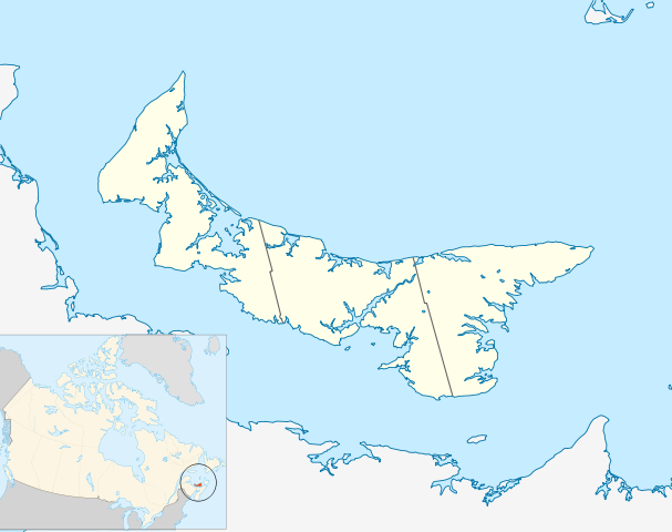
Quadratische Plattkarte, N-S-Streckung 145 %. Geographische Begrenzung der Karte:
Equirectangular projection, N/S stretching 145 %. Geographic limits of the map:
|
| 日期 | |
| 来源 | 自己的作品, based on File:Canada_Prince_Edward_Island_location_map.svg |
| 作者 | Hanhil (talk) 18:14, 24 September 2009 (UTC) based on work by NordNordWest |
| 授权 (二次使用本文件) |
我,本作品著作权人,特此采用以下许可协议发表本作品: 本文件采用知识共享署名-相同方式共享 3.0 未本地化版本许可协议授权。
|
文件历史
点击某个日期/时间查看对应时刻的文件。
| 日期/时间 | 缩略图 | 大小 | 用户 | 备注 | |
|---|---|---|---|---|---|
| 当前 | 2009年9月24日 (四) 18:14 | | 1,039 × 822(248 KB) | Hanhil(留言 | 贡献) | {{Information |Description= {{de|Positionskarte von Prince Edward Island, Kanada}} Quadratische Plattkarte, N-S-Streckung 145 %. Geographische Begrenzung der Karte: * N: 47.3° N * S: 45.5° N * W: 64.9° W * O: |
您不可以覆盖此文件。
文件用途
没有页面使用本文件。
全域文件用途
以下其他wiki使用此文件:
- ar.wikipedia.org上的用途
- azb.wikipedia.org上的用途
- ban.wikipedia.org上的用途
- ba.wikipedia.org上的用途
- bg.wikipedia.org上的用途
- bn.wikipedia.org上的用途
- en.wikipedia.org上的用途
- List of counties of Prince Edward Island
- Prince Edward Island National Park
- Stratford, Prince Edward Island
- Summerside, Prince Edward Island
- Central Bedeque
- Cornwall, Prince Edward Island
- Charlottetown Airport
- CFB Summerside
- List of islands of Prince Edward Island
- Bonshaw, Prince Edward Island
- Tignish
- Cavendish, Prince Edward Island
- Montague, Prince Edward Island
- Summerside Airport
- Cable Head Airpark
- Grand River Airport
- Basin Head, Prince Edward Island
- Knutsford, Prince Edward Island
- Souris, Prince Edward Island
- Union Road
- Foxley River, Prince Edward Island
- Borden-Carleton
- Richmond, Prince Edward Island
- RCAF Station Mount Pleasant
- Ascension, Prince Edward Island
- North Rustico
- St. Felix, Prince Edward Island
- Alberton, Prince Edward Island
- New London, Prince Edward Island
- RCAF Station Charlottetown
- Brudenell River Provincial Park
- Cedar Dunes Provincial Park
- Red Point Provincial Park
- Argyle Shore Provincial Park
- Bloomfield Provincial Park
- Bonshaw Provincial Park
- Wood Islands Provincial Park
- Hampton, Prince Edward Island
- Kensington, Prince Edward Island
- Georgetown, Prince Edward Island
- O'Leary, Prince Edward Island
- Miscouche
- Brackley, Prince Edward Island
查看此文件的更多全域用途。