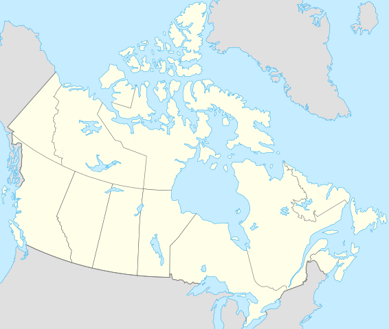
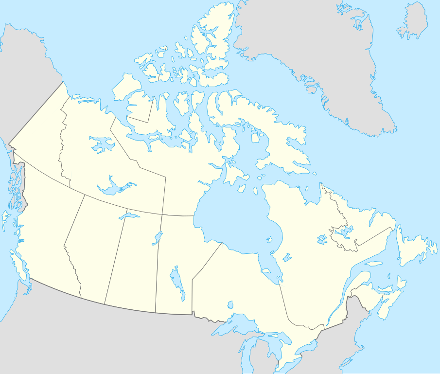
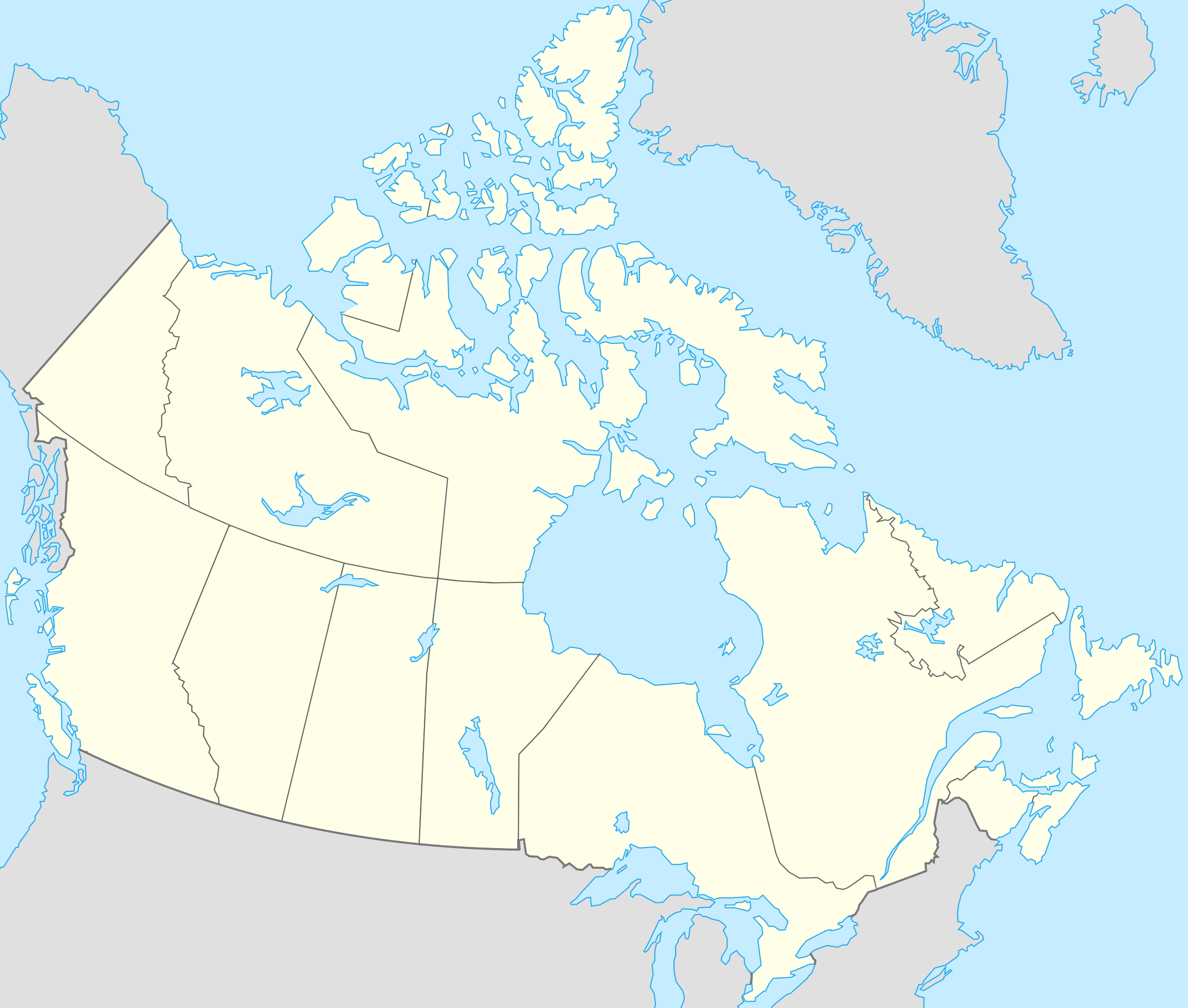
File:Canada location map.svg
Skočit na navigaci
Skočit na vyhledávání

Velikost tohoto PNG náhledu tohoto SVG souboru: 706 × 599 pixelů. Jiná rozlišení: 283 × 240 pixelů | 566 × 480 pixelů | 905 × 768 pixelů | 1 207 × 1 024 pixelů | 2 413 × 2 048 pixelů | 1 084 × 920 pixelů.
Původní soubor (soubor SVG, nominální rozměr: 1 084 × 920 pixelů, velikost souboru: 155 KB)
Popisky
Popisky
Přidejte jednořádkové vysvětlení, co tento soubor představuje
Popis[editovat]
| Popis |
Français : Version recadrée et épurée de Carte administrative du Canada.svg pour la géolocation du Canada. Le cadrage est x=80px, y=166px, height=920, width=1084. Quelques positions :
English: cropped version of Carte administrative du Canada.svg for map location. |
|||||||||||||||||||||
| Datum | ||||||||||||||||||||||
| Zdroj | Canada (geolocalisation).svg od STyx | |||||||||||||||||||||
| Autor | Yug | |||||||||||||||||||||
| Další verze |
Díla odvozená od tohoto souboru: |
|||||||||||||||||||||
| SVG vývoj | Tento vektorový obrázek byl vytvořen programem Inkscape.
|


.svg)
.svg)
}}
Já, držitel autorských práv k tomuto dílu, ho tímto zveřejňuji za podmínek následujících licencí:
Tento soubor podléhá licenci Creative Commons Uveďte autora-Zachovejte licenci 2.5 Generic, 2.0 Generic a 1.0 Generic.
- Dílo smíte:
- šířit – kopírovat, distribuovat a sdělovat veřejnosti
- upravovat – pozměňovat, doplňovat, využívat celé nebo částečně v jiných dílech
- Za těchto podmínek:
- uveďte autora – Máte povinnost uvést autorství, poskytnout odkaz na licenci a uvést, pokud jste provedli změny. Toho můžete docílit jakýmkoli rozumným způsobem, avšak ne způsobem naznačujícím, že by poskytovatel licence schvaloval nebo podporoval vás nebo vaše užití díla.
- zachovejte licenci – Pokud tento materiál jakkoliv upravíte, přepracujete nebo použijete ve svém díle, musíte své příspěvky šířit pod stejnou nebo slučitelnou licencí jako originál.

|
Tento dokument smí být kopírován, šířen nebo upravován podle podmínek Svobodné licence GNU pro dokumenty verze 1.2 nebo libovolné vyšší verze publikované nadací Free Software Foundation. Dokument nemá neměnné části ani texty na předním či zadním přebalu. Kopie textu licence je k dispozici v oddíle nazvaném GNU Free Documentation License. |
| Tento soubor podléhá licenci Creative Commons Uveďte autora-Zachovejte licenci 3.0 Unported | ||
| ||
| Tato licenční šablona byla k tomuto souboru přidána v rámci změny licencování. |
Můžete si zvolit libovolnou z těchto licencí.
Původní historie souboru[editovat]
This image is a derivative work of the following images:
- Canada (geolocalisation).svg licensed with Cc-by-sa-2.5,2.0,1.0, GFDL
- 2007-02-07T01:48:11Z STyx 1084x920 (95884 Bytes) retouche mineure
- 2007-02-07T01:41:09Z STyx 1084x920 (95939 Bytes) {{Information |Description= *{{fr}} Version recadrée et épurée de [[:Image:Carte administrative du Canada.svg]] pour la géolocation du Canada. Le cadrage est x=80px, y=166px, height=920, width=10
Uploaded with derivativeFX
Historie souboru
Kliknutím na datum a čas se zobrazí tehdejší verze souboru.
| Datum a čas | Náhled | Rozměry | Uživatel | Komentář | |
|---|---|---|---|---|---|
| současná | 17. 4. 2021, 19:27 | | 1 084 × 920 (155 KB) | Akeosnhaoe (diskuse | příspěvky) | draw in w:Killiniq Island as part of Nunavut and fix Smallwood Reservoir color |
| 16. 4. 2021, 18:24 |  | 1 084 × 920 (155 KB) | Akeosnhaoe (diskuse | příspěvky) | recreate previous 2 edits from the original to fix some borders on the water not being blue | |
| 26. 1. 2014, 16:13 |  | 1 084 × 920 (67 KB) | Ras67 (diskuse | příspěvky) | -frame | |
| 18. 7. 2008, 22:53 |  | 1 084 × 920 (113 KB) | Yug (diskuse | příspěvky) | {{Information |Description= |Source= |Date= |Author= |Permission= |other_versions= }} | |
| 17. 7. 2008, 22:18 |  | 1 084 × 920 (155 KB) | Yug (diskuse | příspěvky) | {{Information |Description=*{{fr}} Version recadrée et épurée de Image:Carte administrative du Canada.svg pour la géolocation du Canada. Le cadrage est x=80px, y=166px, height=920, width=1084. Quelques positions : <center><table style="border:1px |
Tento soubor nemůžete přepsat.
Využití souboru
Tento soubor používá více než 100 stránek. Následující seznam zobrazuje pouze prvních 100. Můžete si prohlédnout úplný seznam.
- User:SpinnerLaserz/Flags/Flags of Canada/Canada
- User:SpinnerLaserz/Flags/Flags of Italy/Canada
- File:706x599-Canada-(geolocalisation)-R1.jpg
- File:706x599-Canada-(geolocalisation)-R3.jpg
- File:706x599-Canada-(geolocalisation)-R4.jpg
- File:706x699-Canada-(geolocalisation)-R2.jpg
- File:Alabama in United States.svg
- File:Alaska in United States.svg
- File:Alberta in Canada.svg
- File:Amateur radio prefixes in Canada.svg
- File:Arizona in United States.svg
- File:Arkansas in United States.svg
- File:Athabasca, Canada.svg (přesměrování)
- File:Atlantic provinces in Canada.svg
- File:British Columbia in Canada.svg
- File:California in United States.svg
- File:Can high arctic relocation.svg
- File:Canada featured lists of municipalities.png
- File:Canada location map (modified).svg
- File:Central provinces in Canada.svg
- File:Colorado in United States.svg
- File:Connecticut in United States.svg
- File:Connecticut in United States (zoom).svg
- File:Delaware in United States.svg
- File:Delaware in United States (special marker).svg
- File:Delaware in United States (zoom).svg
- File:Eastern provinces in Canada.svg
- File:Florida in United States.svg
- File:Georgia in United States.svg
- File:Hawaii in United States.svg
- File:Hawaii in United States (zoom).svg
- File:Idaho in United States.svg
- File:Illinois in United States.svg
- File:Indiana in United States.svg
- File:Iowa in United States.svg
- File:Kansas in United States.svg
- File:Kentucky in United States.svg
- File:Louisiana in United States.svg
- File:Maine in United States.svg
- File:Manitoba in Canada.svg
- File:Marine atlantic route map.svg
- File:Maryland in United States.svg
- File:Maryland in United States (zoom).svg
- File:Massachusetts in United States.svg
- File:Massachusetts in United States (zoom).svg
- File:Massachusetts in United States (zoom) (US48).svg
- File:Michigan in United States.svg
- File:Minnesota in United States.svg
- File:Mississippi in United States.svg
- File:Missouri in United States.svg
- File:Montana in United States.svg
- File:Nebraska in United States.svg
- File:Nevada in United States.svg
- File:New Brunswick in Canada.svg
- File:New Hampshire in United States.svg
- File:New Hampshire in United States (zoom).svg
- File:New Jersey in United States.svg
- File:New Jersey in United States (zoom).svg
- File:New York in United States.svg
- File:Newfoundland and Labrador in Canada.svg
- File:North Carolina in United States.svg
- File:North Dakota in United States.svg
- File:Northern territories in Canada.svg
- File:Northwest Territories in Canada.svg
- File:Nova Scotia in Canada.svg
- File:Numbered-Treaties-Map.svg
- File:Nunavut in Canada.svg
- File:ON 401 Canada inset.svg
- File:Ohio in United States.svg
- File:Oklahoma in United States.svg
- File:Ontario in Canada.svg
- File:Oregon in United States.svg
- File:Pennsylvania in United States.svg
- File:Prairie provinces in Canada.svg
- File:Prince Edward Island in Canada.svg
- File:Prince Edward Island in Canada (special marker).svg
- File:Quebec in Canada.svg
- File:Relief map of Canada.png
- File:Rhode Island in United States.svg
- File:Rhode Island in United States (special marker).svg
- File:Rhode Island in United States (zoom).svg
- File:Rhode Island in United States (zoom) (extra close).svg
- File:Rhode Island in United States (zoom) (special marker).svg
- File:Saskatchewan in Canada.svg
- File:South Carolina in United States.svg
- File:South Dakota in United States.svg
- File:Tennessee in United States.svg
- File:Texas in United States.svg
- File:The Maritimes in Canada.svg
- File:Utah in United States.svg
- File:Vermont in United States.svg
- File:Vermont in United States (zoom).svg
- File:Virginia in United States.svg
- File:Washington D.C. in United States (special marker).svg
- File:Washington D.C. in United States (special marker) (zoom).svg
- File:Washington D.C. in United States (zoom).svg
- File:Washington in United States.svg
- File:West Virginia in United States.svg
- File:Western provinces in Canada.svg
- File:Wisconsin in United States.svg
-R1.jpg)
-R3.jpg)
-R4.jpg)
-R2.jpg)
.svg)
.svg)
.svg)
.svg)
.svg)
.svg)
_(US48).svg)
.svg)
.svg)
.svg)
.svg)
.svg)
_(extra_close).svg)
_(special_marker).svg)
.svg)
.svg)
_(zoom).svg)
.svg)
Zobrazit další odkazy na tento soubor.
Globální využití souboru
Tento soubor využívají následující wiki:
- Využití na af.wikipedia.org
- Využití na als.wikipedia.org
- Využití na an.wikipedia.org
- Využití na ar.wikipedia.org
- Využití na arz.wikipedia.org
- Využití na ast.wikipedia.org
- Gran Premiu de Canadá de 2007
- Gran Premiu de Canadá de 2006
- Gran Premiu de Canadá de 2008
- Montes Rocosos
- Windsor (Ontario)
- Ontario
- Islla del Cabu Bretón
- Nueva Escocia
- Islla Valdés
- Alberta
- Nueva Brunswick
- Nunavut
- Islla Killiniq
- Aeropuertu de Powell River
- London (Ontario)
- Toronto
- York University
- Alert
Zobrazit další globální využití tohoto souboru.