File:Cane Ridge Meeting House, Little Rock Road, Paris vicinity (Bourbon County, Kentucky).jpg
Jump to navigation
Jump to search
Size of this preview: 800 × 560 pixels. Other resolutions: 320 × 224 pixels | 640 × 448 pixels | 931 × 652 pixels.
Original file (931 × 652 pixels, file size: 251 KB, MIME type: image/jpeg)
Captions
Captions
Add a one-line explanation of what this file represents
|
This is an image of a place or building that is listed on the National Register of Historic Places in the United States of America. Its reference number is 2001463. |
| Description |
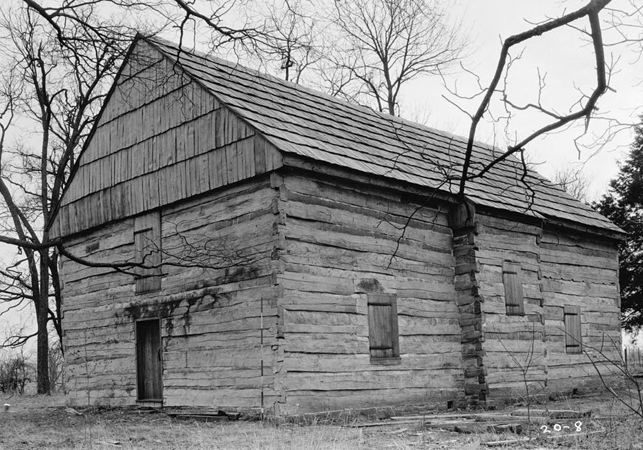
English: Cane Ridge Meeting House, Little Rock Road, Paris vicinity (Bourbon County, Kentucky)
cropped
|
|||||
| Date | ||||||
| Source | http://memory.loc.gov/pnp/habshaer/ky/ky0000/ky0092/photos/071942pv.jpg | |||||
| Author | Theodore Webb, Photographer |

| Object location | | View this and other nearby images on: OpenStreetMap |
|---|
.jpg¶ms=038.212639_N_-084.119167_E_globe:Earth_class:object_type:landmark_region:US-KY_&language=en)
File history
Click on a date/time to view the file as it appeared at that time.
| Date/Time | Thumbnail | Dimensions | User | Comment | |
|---|---|---|---|---|---|
| current | 19:13, 25 November 2010 | | 931 × 652 (251 KB) | KudzuVine (talk | contribs) | {{Information |Description={{en|1=Cane Ridge Meeting House, Little Rock Road, Paris vicinity (Bourbon County, Kentucky) cropped {{PD-USGov-Interior-HABS|KY,9-CANRI,1-2}}}} |Source=http://memory.loc.gov/pnp/habshaer/ky/ky0000/ky0092/photos/071942pv.jpg |Au |
You cannot overwrite this file.
File usage on Commons
The following page uses this file:
File usage on other wikis
The following other wikis use this file:
- Usage on en.wikipedia.org
- Usage on fr.wikipedia.org
- Usage on www.wikidata.org
.jpg&oldid=847333742)