File:Cantons de l'Allier 2015.svg
Jump to navigation
Jump to search

Size of this PNG preview of this SVG file: 800 × 583 pixels. Other resolutions: 320 × 233 pixels | 640 × 466 pixels | 1,024 × 746 pixels | 1,280 × 932 pixels | 2,560 × 1,864 pixels | 909 × 662 pixels.
Original file (SVG file, nominally 909 × 662 pixels, file size: 712 KB)
Captions
Captions
Add a one-line explanation of what this file represents
Summary[edit]
| Description |
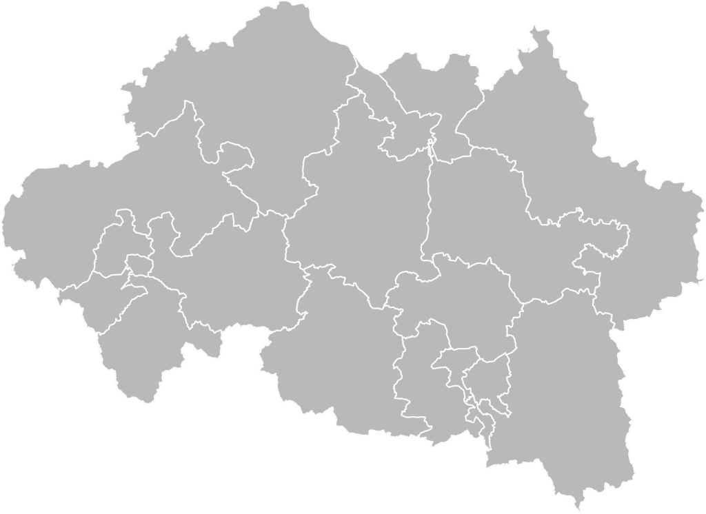
Français : Carte vierge des cantons de l'Allier, après le redécoupage de 2014. D'après données Open Street Map.
English: Blank map of cantons of Allier, after 2014 redistribution. Based on Open Street Map data. |
| Date | |
| Source | Own work |
| Author | Pymouss |
Licensing[edit]
I, the copyright holder of this work, hereby publish it under the following license:
This file is licensed under the Creative Commons Attribution-Share Alike 4.0 International license.
- You are free:
- to share – to copy, distribute and transmit the work
- to remix – to adapt the work
- Under the following conditions:
- attribution – You must give appropriate credit, provide a link to the license, and indicate if changes were made. You may do so in any reasonable manner, but not in any way that suggests the licensor endorses you or your use.
- share alike – If you remix, transform, or build upon the material, you must distribute your contributions under the same or compatible license as the original.
File history
Click on a date/time to view the file as it appeared at that time.
| Date/Time | Thumbnail | Dimensions | User | Comment | |
|---|---|---|---|---|---|
| current | 21:59, 27 February 2016 | | 909 × 662 (712 KB) | Pymouss (talk | contribs) | =={{int:filedesc}}== {{Information |description={{fr|1=Carte vierge des cantons de l'Allier, après le redécoupage de 2014. D'après données Open Street Map.}} {{en|1=Blank map of cantons of Allier, after 2014 redistribution. Based on Open Street Map... |
You cannot overwrite this file.
File usage on Commons
The following 19 pages use this file:
- File:Allier - Canton Bellerive-sur-Allier 2015.svg
- File:Allier - Canton Bourbon-l'Archambault 2015.svg
- File:Allier - Canton Commentry 2015.svg
- File:Allier - Canton Cusset 2015.svg
- File:Allier - Canton Dompierre-sur-Besbre 2015.svg
- File:Allier - Canton Gannat 2015.svg
- File:Allier - Canton Huriel 2015.svg
- File:Allier - Canton Lapalisse 2015.svg
- File:Allier - Canton Montluçon-1 2015.svg
- File:Allier - Canton Montluçon-2 2015.svg
- File:Allier - Canton Montluçon-3 2015.svg
- File:Allier - Canton Montluçon-4 2015.svg
- File:Allier - Canton Moulins-1 2015.svg
- File:Allier - Canton Moulins-2 2015.svg
- File:Allier - Canton Saint-Pourçain-sur-Sioule 2015.svg
- File:Allier - Canton Souvigny 2015.svg
- File:Allier - Canton Vichy-1 2015.svg
- File:Allier - Canton Vichy-2 2015.svg
- File:Allier - Canton Yzeure 2015.svg