File:Carte d'État-major de la France, Feuille Reims N.O (craonne).jpg
Jump to navigation
Jump to search

Size of this preview: 800 × 540 pixels. Other resolutions: 320 × 216 pixels | 640 × 432 pixels | 1,024 × 692 pixels | 1,280 × 864 pixels | 2,560 × 1,729 pixels | 3,823 × 2,582 pixels.
Original file (3,823 × 2,582 pixels, file size: 10.82 MB, MIME type: image/jpeg)
Captions
Captions
Add a one-line explanation of what this file represents
Summary
[edit]| Description |
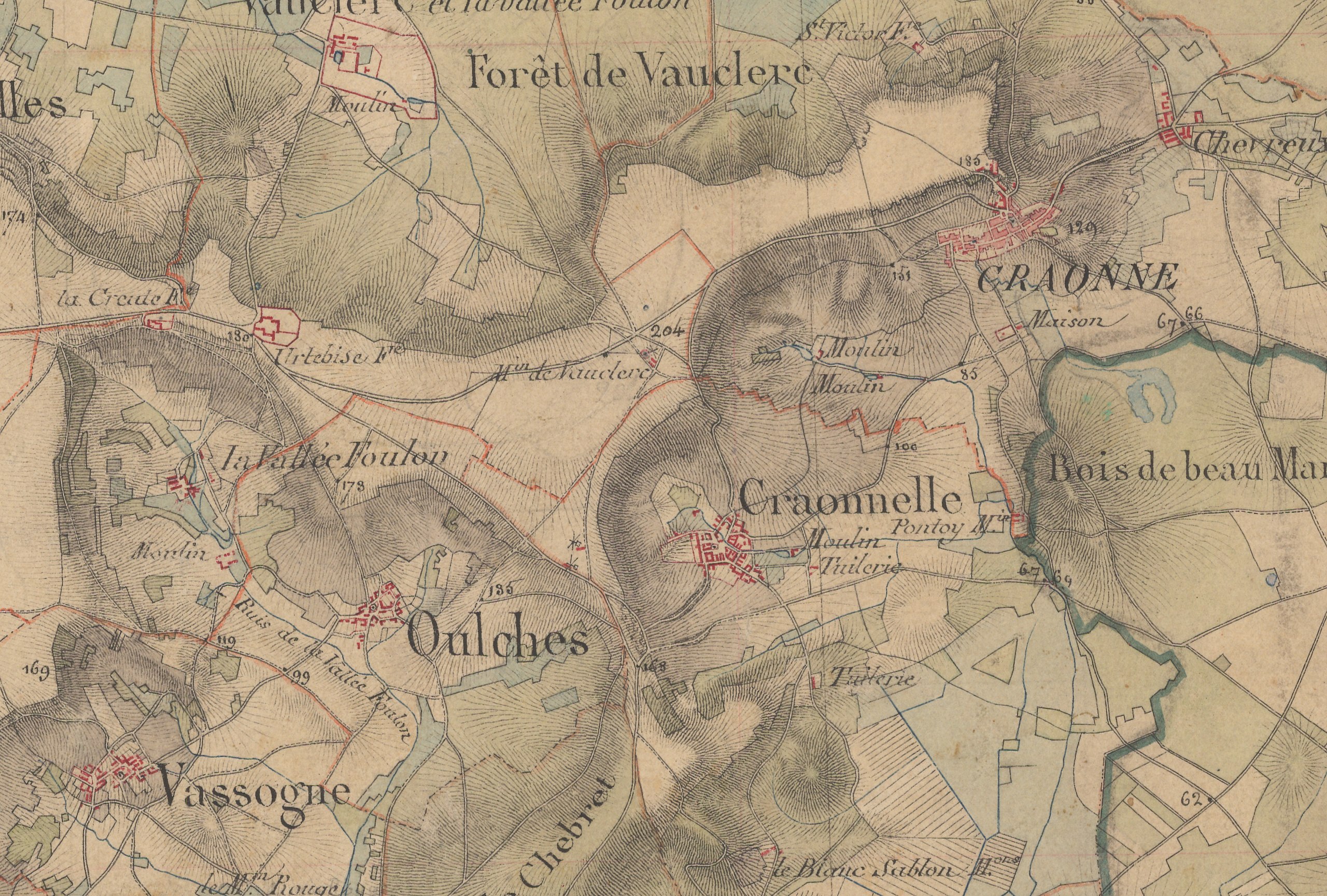
Français : Carte d'État-major de la France, Feuille Reims N.O. 1/40 000.
English: Old military map of France, Reims N.W. sheet, 1/40,000. |
| Date | |
| Source | IGN |
| Author | Dépôt de la Guerre (Q1270687) |
| Other versions |

.jpg&action=edit§ion=1)
Licensing
[edit].jpg&action=edit§ion=2)
|
This work is in the public domain in its country of origin and other countries and areas where the copyright term is the author's life plus 70 years or fewer. This work is in the public domain in the United States because it was published (or registered with the U.S. Copyright Office) before January 1, 1929. | |
| This file has been identified as being free of known restrictions under copyright law, including all related and neighboring rights. | |
File history
Click on a date/time to view the file as it appeared at that time.
| Date/Time | Thumbnail | Dimensions | User | Comment | |
|---|---|---|---|---|---|
| current | 14:31, 29 August 2020 | | 3,823 × 2,582 (10.82 MB) | Gérald Garitan (talk | contribs) | File:Carte d'État-major de la France, Feuille Reims N.O.jpg cropped 84 % horizontally, 81 % vertically using CropTool with precise mode. |
You cannot overwrite this file.
File usage on Commons
The following page uses this file:
.jpg&oldid=849194476)