File:Carte de 1880 de Reims.jpg

Original file (1,523 × 2,168 pixels, file size: 1.75 MB, MIME type: image/jpeg)
Captions
Captions
| Description |
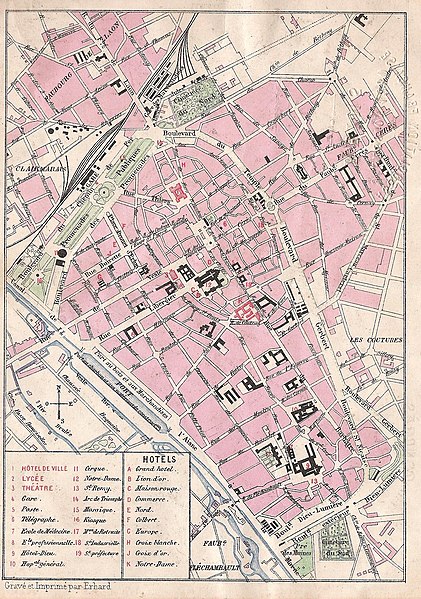
Français : Une Carte de 1880 montrant Reims.
English: Reims (France - department of Marne) - Map of the City of Reims in 1880 |
||||
| Date | |||||
| Source | Own work | ||||
| Author | Gravé et imprimé par Erhard | ||||
| Permission (Reusing this file) |
|
||||
| Other versions | |||||
.jpg)
.jpg)
.jpg)
.jpg)
.jpg)
.jpg)
.jpg)
File history
Click on a date/time to view the file as it appeared at that time.
| Date/Time | Thumbnail | Dimensions | User | Comment | |
|---|---|---|---|---|---|
| current | 18:09, 12 September 2012 | | 1,523 × 2,168 (1.75 MB) | Garitan (talk | contribs) | {{Information |Description=Une Carte_de_1880_montrant Reims. |Source={{own}} |Date=1880 |Author= Garitan |Permission={{PD-old}} |other_versions= }} Category:Maps of Reims |
You cannot overwrite this file.
File usage on Commons
The following 7 pages use this file: