File:Carte de l'Empire Français 1812.jpg
跳至導覽
跳至搜尋

預覽大小:800 × 594 像素。 其他解析度:320 × 238 像素 | 640 × 476 像素 | 1,024 × 761 像素 | 1,280 × 951 像素 | 2,560 × 1,902 像素 | 9,338 × 6,938 像素。
原始檔案 (9,338 × 6,938 像素,檔案大小:22.19 MB,MIME 類型:image/jpeg)
說明
說明
添加單行說明來描述出檔案所代表的內容
摘要[編輯]
| 描述 |
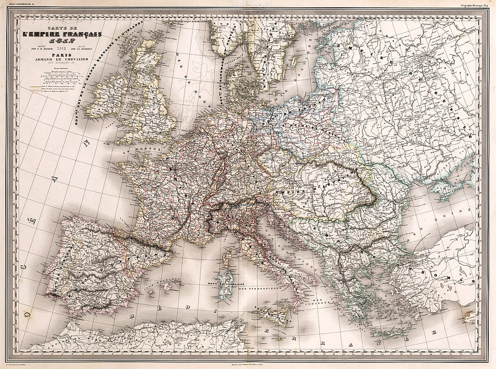
Français : Carte de l'Empire Français 1812 : Dressée par A. H. Dufour. Gravée par Ch. Dyonnet. Paris, Armand Le Chevalier, Rue Richelieu, 60. La Lettre gravée par Delêtre. Impé. par Louis Antoine, r. des Noyers, 70, Paris. (to accompany) Atlas Universel, Physique, Historique Et Politique De Géographie Ancienne Et Moderne. Pl. 9. (on upper margin) Géographie Historique Pl. 4. |
||||
| 日期 | |||||
| 來源 | David Rumsey Map Collection. | ||||
| 作者 | Dufour, Auguste-Henri (1798-1865). | ||||
| 授權許可 (重用此檔案) |
|
||||
檔案歷史
點選日期/時間以檢視該時間的檔案版本。
| 日期/時間 | 縮圖 | 尺寸 | 用戶 | 備註 | |
|---|---|---|---|---|---|
| 目前 | 2021年5月8日 (六) 13:33 | | 9,338 × 6,938(22.19 MB) | FDRMRZUSA(對話 | 貢獻) | Reverted to version as of 14:48, 24 November 2017 (UTC): restored original colors version: the previous changes have altered some details (for example in Dalmatia). Previous version can (and must) be upload separately (per COM:OVERWRITE). |
| 2020年4月26日 (日) 11:36 |  | 9,338 × 6,938(31.35 MB) | Claude Zygiel(對話 | 貢獻) | Cleaned up some spotted areas | |
| 2017年11月24日 (五) 14:48 |  | 9,338 × 6,938(22.19 MB) | FDRMRZUSA(對話 | 貢獻) | User created page with UploadWizard |
無法覆蓋此檔案。
檔案用途
沒有使用此檔案的頁面。
全域檔案使用狀況
以下其他 wiki 使用了這個檔案:
- de.wikipedia.org 的使用狀況
- en.wikipedia.org 的使用狀況
- fr.wikipedia.org 的使用狀況
- ka.wikipedia.org 的使用狀況
- km.wikipedia.org 的使用狀況
- ro.wikipedia.org 的使用狀況
- tr.wikipedia.org 的使用狀況
- vi.wikipedia.org 的使用狀況
- zh.wikipedia.org 的使用狀況