File:Carte de l'etat Indépendant du Congo - DPLA - 3ecc5854bc14f2c98a117e2f1913d173.jpg
Jump to navigation
Jump to search

Size of this preview: 698 × 600 pixels. Other resolutions: 279 × 240 pixels | 559 × 480 pixels | 1,000 × 859 pixels.
Original file (1,000 × 859 pixels, file size: 248 KB, MIME type: image/jpeg)
Captions
Captions
Add a one-line explanation of what this file represents
Summary
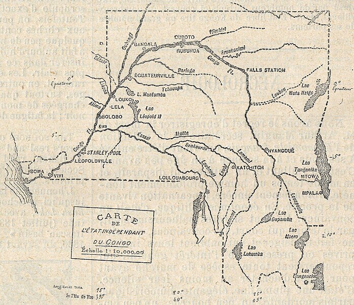
[edit]| Carte de l'etat Indépendant du Congo
( |
|||||||||||||||||||||
|---|---|---|---|---|---|---|---|---|---|---|---|---|---|---|---|---|---|---|---|---|---|
| Creator | Revue Géographique Internationale | ||||||||||||||||||||
| Title |
Carte de l'etat Indépendant du Congo |
||||||||||||||||||||
| Description |
1:10,000,000 |
||||||||||||||||||||
| Date | 1887 | ||||||||||||||||||||
| Collection |
|
||||||||||||||||||||
| Source/Photographer |
|
||||||||||||||||||||
| Permission (Reusing this file) |
|
||||||||||||||||||||
| Standardized rights statement |
|
||||||||||||||||||||


File history
Click on a date/time to view the file as it appeared at that time.
| Date/Time | Thumbnail | Dimensions | User | Comment | |
|---|---|---|---|---|---|
| current | 09:51, 4 November 2022 | | 1,000 × 859 (248 KB) | DPLA bot (talk | contribs) | Uploading DPLA ID 3ecc5854bc14f2c98a117e2f1913d173 |
You cannot overwrite this file.
File usage on Commons
The following page uses this file:
File usage on other wikis
The following other wikis use this file:
- Usage on fr.wikipedia.org