File:Cascadia map.svg
跳转到导航
跳转到搜索

此SVG文件的PNG预览的大小:600 × 600像素。 其他分辨率:240 × 240像素 | 480 × 480像素 | 768 × 768像素 | 1,024 × 1,024像素 | 2,048 × 2,048像素 | 1,730 × 1,730像素。
原始文件 (SVG文件,尺寸为1,730 × 1,730像素,文件大小:216 KB)
说明
说明
添加一行文字以描述该文件所表现的内容
| 描述 |
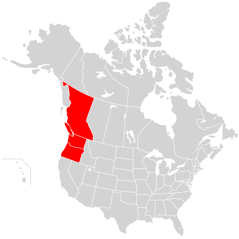
English: Map of the proposed Cascadia region, on a map of North America.
|
||
| 日期 | (UTC) | ||
| 来源 | |||
| 作者 |
|
||
| 授权 (二次使用本文件) |
我,本作品著作权人,特此采用以下许可协议发表本作品: 本文件采用知识共享署名-相同方式共享 2.5 通用许可协议授权。
|
原始上传日志
[编辑]
This image is a derivative work of the following images:
- File:BlankMap-USA-states-Canada-provinces,_HI_closer.svg licensed with Cc-by-sa-2.5
- 2007-12-08T21:18:24Z Lokal Profil 1730x1730 (216736 Bytes) Code trimming
- 2007-07-03T04:21:30Z Lokal Profil 1730x1730 (217702 Bytes) {{Information |Description={{en|Blank SVG map of USA and Canada with state and province borders. Hawaii has been moved closer to the mainland USA to reduce width of image.}} Non-contiguous parts of a states/provinces are "gro
Uploaded with derivativeFX
文件历史
点击某个日期/时间查看对应时刻的文件。
| 日期/时间 | 缩略图 | 大小 | 用户 | 备注 | |
|---|---|---|---|---|---|
| 当前 | 2011年1月5日 (三) 18:40 | | 1,730 × 1,730(216 KB) | Admrboltz(留言 | 贡献) | {{Information |Description={{en|Map of the proposed Cascadia region, on a map of North America.}}{{RetouchedPicture|Colored in the states of Oregon and Washington and province of British Columbia|editor=Admrboltz|ori |
您不可以覆盖此文件。
文件用途
没有页面使用本文件。