File:Cattle crossing - panoramio.jpg
Jump to navigation
Jump to search

Size of this preview: 800 × 302 pixels. Other resolutions: 320 × 121 pixels | 640 × 241 pixels | 1,024 × 386 pixels | 1,280 × 483 pixels | 3,570 × 1,347 pixels.
Original file (3,570 × 1,347 pixels, file size: 551 KB, MIME type: image/jpeg)
Captions
Captions
Add a one-line explanation of what this file represents
Summary
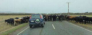
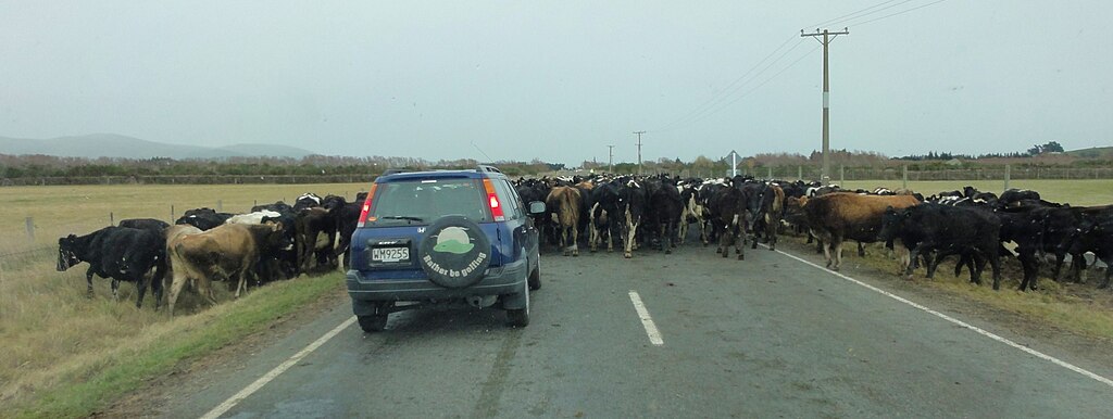
[edit]| Description | Cattle crossing | ||
| Date | Taken on 31 May 2012 | ||
| Source | https://web.archive.org/web/20161025015007/http://www.panoramio.com/photo/84433415 | ||
| Author | Annette Teng | ||
| Permission (Reusing this file) |
This file is licensed under the Creative Commons Attribution 3.0 Unported license. Attribution: Annette Teng
|
||
| Tags (from Panoramio photo page) | Acton, Cattle, Cows, Farm, Road, sheepdog |
| Camera location | | View this and other nearby images on: OpenStreetMap |
|---|

File history
Click on a date/time to view the file as it appeared at that time.
| Date/Time | Thumbnail | Dimensions | User | Comment | |
|---|---|---|---|---|---|
| current | 07:07, 11 February 2017 | 3,570 × 1,347 (551 KB) | Panoramio upload bot (talk | contribs) | == {{int:filedesc}} == {{Information |description=Cattle crossing |date={{Taken on|2012-05-31}} |source=http://www.panoramio.com/photo/84433415 |author=[http://www.panoramio.com/user/7351347?with_photo_id=84433415 Annette Teng] |permission={{cc-by-3.0|... |
You cannot overwrite this file.
File usage on Commons
There are no pages that use this file.