File:Central Erope 1572 HU.svg
Перейти к навигации
Перейти к поиску

Размер этого PNG-превью для исходного SVG-файла: 762 × 600 пкс. Другие разрешения: 305 × 240 пкс | 610 × 480 пкс | 976 × 768 пкс | 1280 × 1007 пкс | 2560 × 2015 пкс | 1122 × 883 пкс.
Исходный файл (SVG-файл, номинально 1122 × 883 пкс, размер файла: 243 КБ)
Краткие подписи
Краткие подписи
Добавьте однострочное описание того, что собой представляет этот файл
Краткое описание
[править]
| Описание |
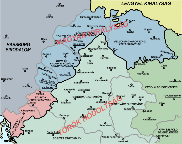
English: Central Europe in 1572. |
| Дата | |
| Источник | Собственная работа, derivative work - Hungarian version of the original file: Central Europe 1572.png (author of that file was User:PANONIAN) |
| Автор | Kaboldy |
Лицензирование
[править]
Я, владелец авторских прав на это произведение, добровольно публикую его на условиях следующей лицензии:
Этот файл доступен по лицензии Creative Commons Attribution-Share Alike 4.0 International
- Вы можете свободно:
- делиться произведением – копировать, распространять и передавать данное произведение
- создавать производные – переделывать данное произведение
- При соблюдении следующих условий:
- атрибуция – Вы должны указать авторство, предоставить ссылку на лицензию и указать, внёс ли автор какие-либо изменения. Это можно сделать любым разумным способом, но не создавая впечатление, что лицензиат поддерживает вас или использование вами данного произведения.
- распространение на тех же условиях – Если вы изменяете, преобразуете или создаёте иное произведение на основе данного, то обязаны использовать лицензию исходного произведения или лицензию, совместимую с исходной.
История файла
Нажмите на дату/время, чтобы увидеть версию файла от того времени.
| Дата/время | Миниатюра | Размеры | Участник | Примечание | |
|---|---|---|---|---|---|
| текущий | 07:57, 24 марта 2015 | | 1122 × 883 (243 КБ) | Kaboldy (обсуждение | вклад) | Corrected text |
| 07:21, 23 марта 2015 |  | 1122 × 883 (231 КБ) | Kaboldy (обсуждение | вклад) | User created page with UploadWizard |
Вы не можете перезаписать этот файл.
Использование файла
Нет страниц, использующих этот файл.
Глобальное использование файла
Данный файл используется в следующих вики:
Метаданные
Категории:
- Maps of the history of Central Europe
- Maps of the Habsburg Monarchy
- Maps of eyalets of the Ottoman Empire
- Maps of vassal states of the Ottoman Empire
- Maps of the history of the Ottoman Empire in the 1570s
- Maps of the history of Hungary (1526–1700)
- Maps of the history of Slovakia
- Maps of the history of Croatia (1526–1918)
- Maps of the history of Slavonia
- Maps of the Ottoman period in the history of Serbia
- Maps of the history of Vojvodina
- Maps of the history of Banat
- Maps of the history of Early Modern Romania
- Maps of the history of Transylvania
- Hungarian-language maps
- Kingdom of Hungary (1526–1867)
- Budin Province, Ottoman Empire
- Maps of Temeşvar Province, Ottoman Empire
- Principality of Transylvania