File:Centro Histórico de Vassouras 01.JPG
Original file (3,456 × 2,304 pixels, file size: 4.61 MB, MIME type: image/jpeg)
Captions
Summary
[edit]DescriptionCentro Histórico de Vassouras 01.JPG |
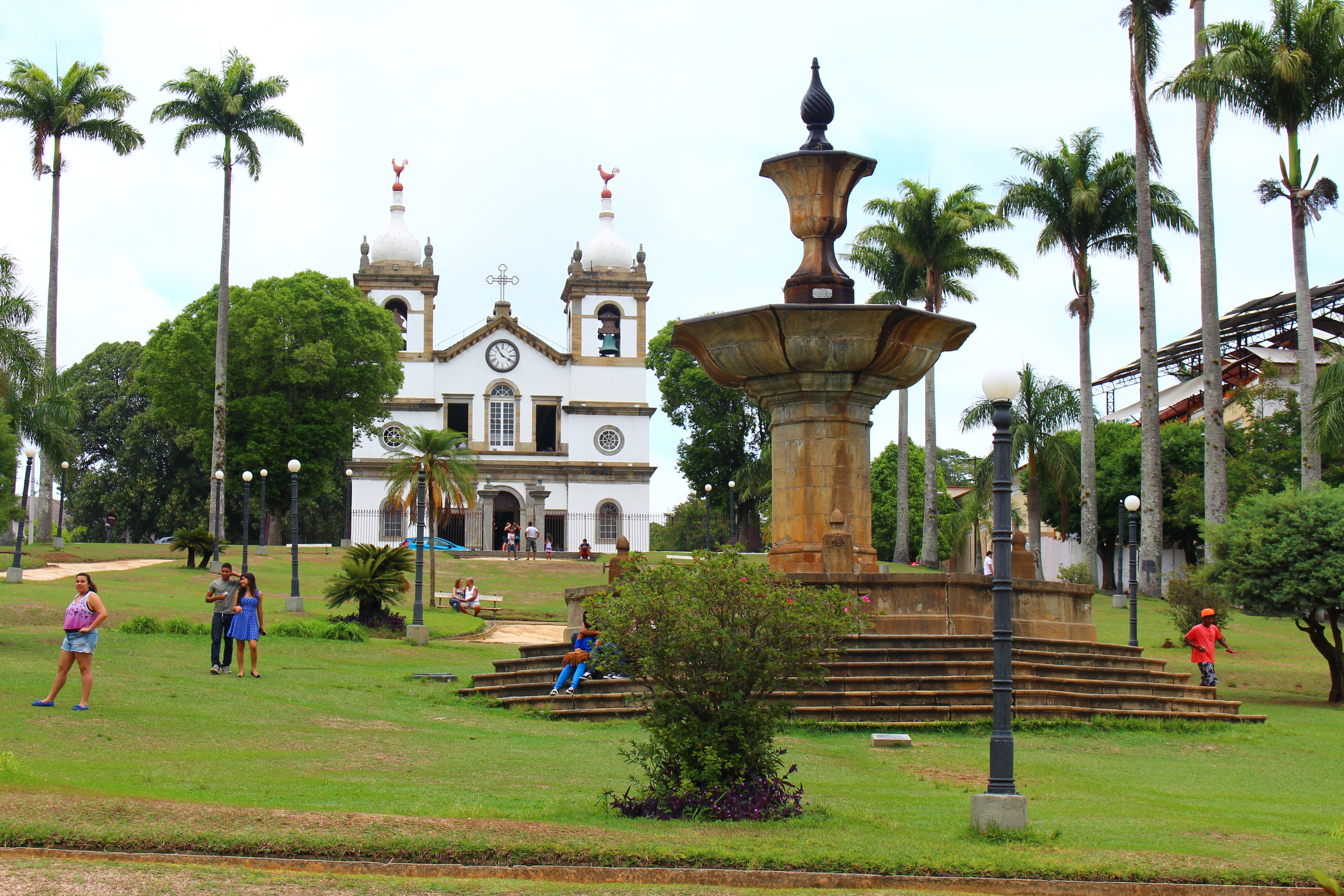
Português: Conjunto Paisagístico e Urbanístico da Cidade de Vassouras, demarcado no processo, constituído de construções públicas e particulares, incluindo calçamento e arborização.
|
||
Date | |||
Source | Own work | ||
Author | Filipo Tardim |
Camera location | 22° 24′ 32.08″ S, 43° 39′ 38.27″ W | View this and other nearby images on: OpenStreetMap | -22.408911; -43.660631 |
---|
22°24'32.1"S 43°39'38.3"W
Licensing
[edit]- You are free:
- to share – to copy, distribute and transmit the work
- to remix – to adapt the work
- Under the following conditions:
- attribution – You must give appropriate credit, provide a link to the license, and indicate if changes were made. You may do so in any reasonable manner, but not in any way that suggests the licensor endorses you or your use.
- share alike – If you remix, transform, or build upon the material, you must distribute your contributions under the same or compatible license as the original.
This image was uploaded as part of Wiki Loves Monuments 2015.
Afrikaans ∙ Alemannisch ∙ azərbaycanca ∙ Bahasa Indonesia ∙ Bahasa Melayu ∙ Bikol Central ∙ bosanski ∙ brezhoneg ∙ català ∙ čeština ∙ Cymraeg ∙ dansk ∙ davvisámegiella ∙ Deutsch ∙ eesti ∙ English ∙ español ∙ Esperanto ∙ euskara ∙ français ∙ Frysk ∙ Gaeilge ∙ galego ∙ hrvatski ∙ Ido ∙ italiano ∙ latviešu ∙ Lëtzebuergesch ∙ Malagasy ∙ magyar ∙ Malti ∙ Nederlands ∙ norsk ∙ norsk nynorsk ∙ norsk bokmål ∙ polski ∙ português ∙ português do Brasil ∙ română ∙ shqip ∙ sicilianu ∙ slovenčina ∙ slovenščina ∙ suomi ∙ svenska ∙ Tagalog ∙ Türkçe ∙ Yorùbá ∙ Zazaki ∙ Ελληνικά ∙ беларуская ∙ беларуская (тарашкевіца) ∙ български ∙ кыргызча ∙ македонски ∙ русский ∙ српски / srpski ∙ українська ∙ ქართული ∙ հայերեն ∙ नेपाली ∙ हिन्दी ∙ বাংলা ∙ മലയാളം ∙ ไทย ∙ 한국어 ∙ +/− |
File history
Click on a date/time to view the file as it appeared at that time.
Date/Time | Thumbnail | Dimensions | User | Comment | |
---|---|---|---|---|---|
current | 04:50, 19 September 2015 | 3,456 × 2,304 (4.61 MB) | Filipo tardim (talk | contribs) | User created page with UploadWizard |
You cannot overwrite this file.
File usage on Commons
There are no pages that use this file.
File usage on other wikis
The following other wikis use this file:
Metadata
This file contains additional information such as Exif metadata which may have been added by the digital camera, scanner, or software program used to create or digitize it. If the file has been modified from its original state, some details such as the timestamp may not fully reflect those of the original file. The timestamp is only as accurate as the clock in the camera, and it may be completely wrong.
Camera manufacturer | Canon |
---|---|
Camera model | Canon EOS REBEL T5i |
Author | Filipo Tardim |
Exposure time | 1/160 sec (0.00625) |
F-number | f/10 |
ISO speed rating | 100 |
Date and time of data generation | 11:29, 9 November 2014 |
Lens focal length | 39 mm |
Orientation | Normal |
Horizontal resolution | 72 dpi |
Vertical resolution | 72 dpi |
File change date and time | 11:29, 9 November 2014 |
Y and C positioning | Co-sited |
Exposure Program | Landscape mode (for landscape photos with the background in focus) |
Exif version | 2.3 |
Date and time of digitizing | 11:29, 9 November 2014 |
Meaning of each component |
|
APEX shutter speed | 7.375 |
APEX aperture | 6.625 |
APEX exposure bias | 0 |
Metering mode | Pattern |
Flash | Flash did not fire, compulsory flash suppression |
DateTime subseconds | 00 |
DateTimeOriginal subseconds | 00 |
DateTimeDigitized subseconds | 00 |
Supported Flashpix version | 1 |
Color space | sRGB |
Focal plane X resolution | 3,865.7718120805 |
Focal plane Y resolution | 3,859.2964824121 |
Focal plane resolution unit | inches |
Custom image processing | Normal process |
Exposure mode | Auto exposure |
White balance | Manual white balance |
Scene capture type | Standard |
GPS tag version | 0.0.3.2 |
Rating (out of 5) | 0 |
Structured data
Items portrayed in this file
depicts
9 November 2014
22°24'32.080"S, 43°39'38.272"W
image/jpeg
fa3da228f34bea553c27e2be72da17a95e30a525
4,831,017 byte
2,304 pixel
3,456 pixel
- Cultural heritage monuments in Brazil with known IDs
- Files with coordinates missing SDC location of creation
- CC-BY-SA-4.0
- Self-published work
- Images from Wiki Loves Monuments 2015
- Images from Wiki Loves Monuments 2015 in Brazil
- Images from Wiki Loves Monuments missing SDC depicts
- Images from Wiki Loves Monuments missing SDC location of creation
- Uploaded via Campaign:wlm-br
- Brazil photographs taken on 2014-11-09
- Images from Wiki Loves Monuments 2015 in Brazil - Rio de Janeiro