File:Ceres Valley Panorama View.jpg
跳至導覽
跳至搜尋
預覽大小:800 × 198 像素。 其他解析度:320 × 79 像素 | 640 × 158 像素 | 2,048 × 506 像素。
原始檔案 (2,048 × 506 像素,檔案大小:128 KB,MIME 類型:image/jpeg)
說明
說明
添加單行說明來描述出檔案所代表的內容
摘要
[編輯]
| 拍攝地點 | | 位於此地的本圖片與其他圖片: OpenStreetMap |
|---|
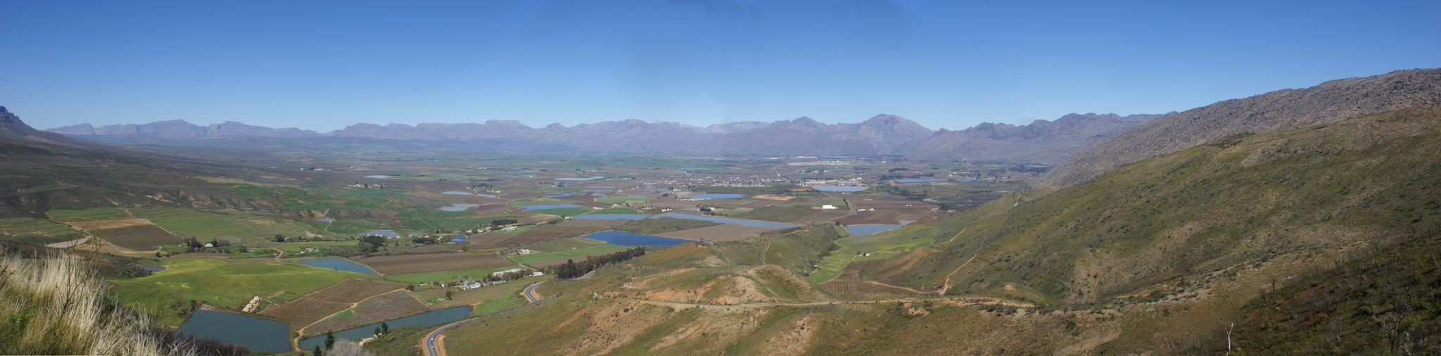
| 描述 | Took a ride today over Bain's Kloof Pass and Mitchell's Pass to Ceres, and then along a road I had not travelled before - over Gydo Pass and through some of the Cederberg Mountains to Citrusdal (some quite long gravel road stretches here). From Citrusdal I travelled over Piekenierkloof Pass (and finally photographed Thomas Bain's cottage that he built when building the mountain pass) and down the N7 back to Cape Town. | ||
| 日期 | |||
| 來源 | Ceres Valley Panorama View | ||
| 作者 | Danie van der Merwe from Cape Town, South Africa | ||
| 授權許可 (重用此檔案) |
|
授權條款
[編輯]
此檔案採用創用CC 姓名標示 2.0 通用版授權條款。
- 您可以自由:
- 分享 – 複製、發佈和傳播本作品
- 重新修改 – 創作演繹作品
- 惟需遵照下列條件:
- 姓名標示 – 您必須指名出正確的製作者,和提供授權條款的連結,以及表示是否有對內容上做出變更。您可以用任何合理的方式來行動,但不得以任何方式表明授權條款是對您許可或是由您所使用。
檔案歷史
點選日期/時間以檢視該時間的檔案版本。
| 日期/時間 | 縮圖 | 尺寸 | 用戶 | 備註 | |
|---|---|---|---|---|---|
| 目前 | 2007年10月10日 (三) 19:01 | 2,048 × 506(128 KB) | File Upload Bot (Magnus Manske)(對話 | 貢獻) | {{Information |Description= Took a ride today over Bain's Kloof Pass and Mitchell's Pass to Ceres, and then along a road I had not travelled before - over Gydo Pass and through some of the Cederberg Mountains to Citrusdal (some quite long gravel road str |
無法覆蓋此檔案。
檔案用途
沒有使用此檔案的頁面。
全域檔案使用狀況
以下其他 wiki 使用了這個檔案:
- en.wikipedia.org 的使用狀況
- fr.wikipedia.org 的使用狀況
- zh.wikipedia.org 的使用狀況