File:Cerro Chacarillas con torre CONAF 3.jpg
Jump to navigation
Jump to search

Size of this preview: 800 × 595 pixels. Other resolutions: 320 × 238 pixels | 640 × 476 pixels | 1,024 × 761 pixels | 1,280 × 951 pixels | 2,570 × 1,910 pixels.
Original file (2,570 × 1,910 pixels, file size: 1.2 MB, MIME type: image/jpeg)
Captions
Captions
Add a one-line explanation of what this file represents
Summary
[edit]
| Description |
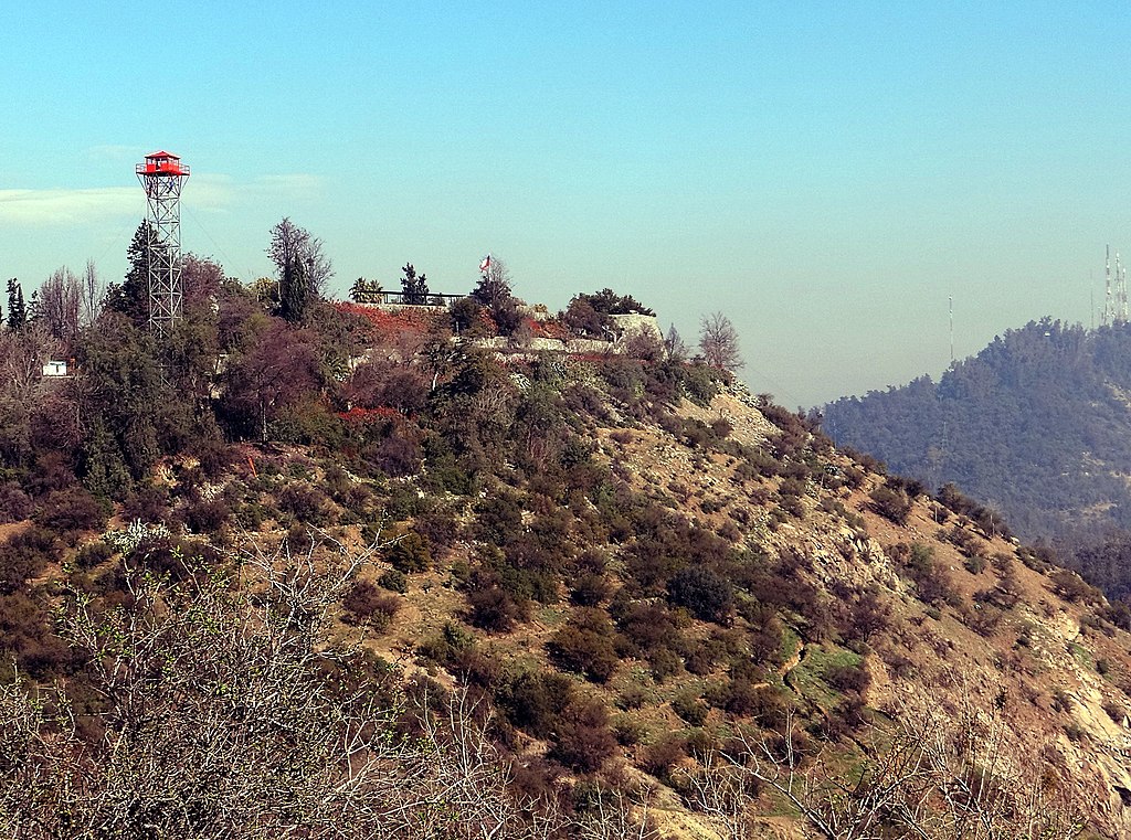
Español: La torre de vigilancia de CONAF en el lado nororiente del cerro Chacarillas (ó Tupahue, ó Segunda Cumbre del Parque Metropolitano de Santiago)
Deutsch: Wachturm der Forstbehörde CONAF am Nordosthang des Cerro Chacarillas (alias Tupahue, oder Zweiter Gipfel des Metropolparks von Santiago) |
| Date | Taken on 13 July 2013, 14:14:32 (according to Exif data) |
| Source | Own work |
| Author | WeHaKa |
| Permission (Reusing this file) |
I, the copyright holder of this work, hereby publish it under the following license: This file is licensed under the Creative Commons Attribution-Share Alike 4.0 International license.
|
| Object location | | View this and other nearby images on: OpenStreetMap |
|---|
| Camera location | | View this and other nearby images on: OpenStreetMap |
|---|
File history
Click on a date/time to view the file as it appeared at that time.
| Date/Time | Thumbnail | Dimensions | User | Comment | |
|---|---|---|---|---|---|
| current | 20:31, 11 September 2020 | | 2,570 × 1,910 (1.2 MB) | WeHaKa (talk | contribs) | {{Information |description = {{es|La torre de vigilancia de CONAF en el lado nororiente del cerro Chacarillas (ó Tupahue, ó Segunda Cumbre del Parque Metropolitano de Santiago) }} {{de|Wachturm der Forstbehörde CONAF am Nordosthang des Cerro Chacarillas (alias Tupahue, oder Zweiter Gipfel des Metropolparks von Santiago) }} |date = {{Taken on|2013-07-13 14:14:32|source=EXIF|location=Chile}} |source = {{own}} |author = WeHaKa |permission = {... |
You cannot overwrite this file.
File usage on Commons
There are no pages that use this file.