File:Chapman's Peak.JPG
Jump to navigation
Jump to search

Size of this preview: 800 × 471 pixels. Other resolutions: 320 × 188 pixels | 640 × 377 pixels | 1,024 × 603 pixels | 1,280 × 754 pixels | 2,532 × 1,491 pixels.
Original file (2,532 × 1,491 pixels, file size: 722 KB, MIME type: image/jpeg)
Captions
Captions
Add a one-line explanation of what this file represents
Summary
[edit]
| Description |
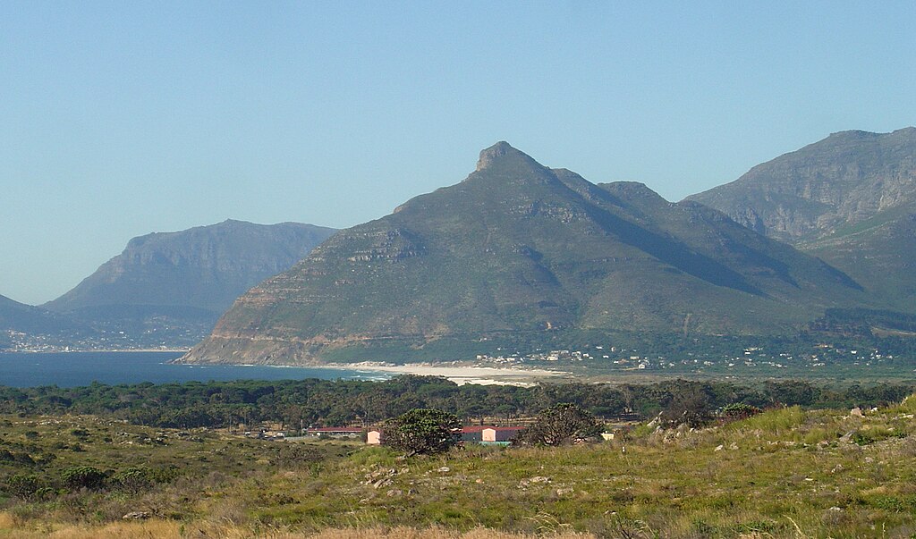
English: Chapman's Peak in Cape Town, seen from Kommetjie. Hout Bay is on the left, and Constantiaberg on the right. |
| Date | |
| Source | Own work |
| Author | Zaian |
| Camera location | | View this and other nearby images on: OpenStreetMap |
|---|
Licensing
[edit]
| I, the copyright holder of this work, release this work into the public domain. This applies worldwide. In some countries this may not be legally possible; if so: I grant anyone the right to use this work for any purpose, without any conditions, unless such conditions are required by law. |
File history
Click on a date/time to view the file as it appeared at that time.
| Date/Time | Thumbnail | Dimensions | User | Comment | |
|---|---|---|---|---|---|
| current | 20:42, 2 January 2010 | | 2,532 × 1,491 (722 KB) | Zaian (talk | contribs) | {{Information |Description={{en|1=Chapman's Peak in Cape Town, seen from Noordhoek}} |Source={{own}} |Author=Zaian |Date=2008-12-16 |Permission= |other_versions= }} {{location|34|8|37.09|S|18|21|2.16|E|region:ZA_heading:N}} [[Category:Table |
You cannot overwrite this file.
File usage on Commons
There are no pages that use this file.
File usage on other wikis
The following other wikis use this file:
- Usage on bn.wikipedia.org
- Usage on en.wikipedia.org
- Usage on fr.wikipedia.org
- Usage on uk.wikipedia.org