File:Chartres (Eure-et-Loir) - Musée des Beaux-Arts - "Paysage de neige au moulin à vent" (attribué à Roëlandt Savery, 1576-1639) (48023029443).jpg
Jump to navigation
Jump to search

Size of this preview: 800 × 445 pixels. Other resolutions: 320 × 178 pixels | 640 × 356 pixels | 1,024 × 570 pixels | 1,280 × 713 pixels | 2,560 × 1,425 pixels | 3,875 × 2,157 pixels.
Original file (3,875 × 2,157 pixels, file size: 3.08 MB, MIME type: image/jpeg)
Captions
Captions
Add a one-line explanation of what this file represents
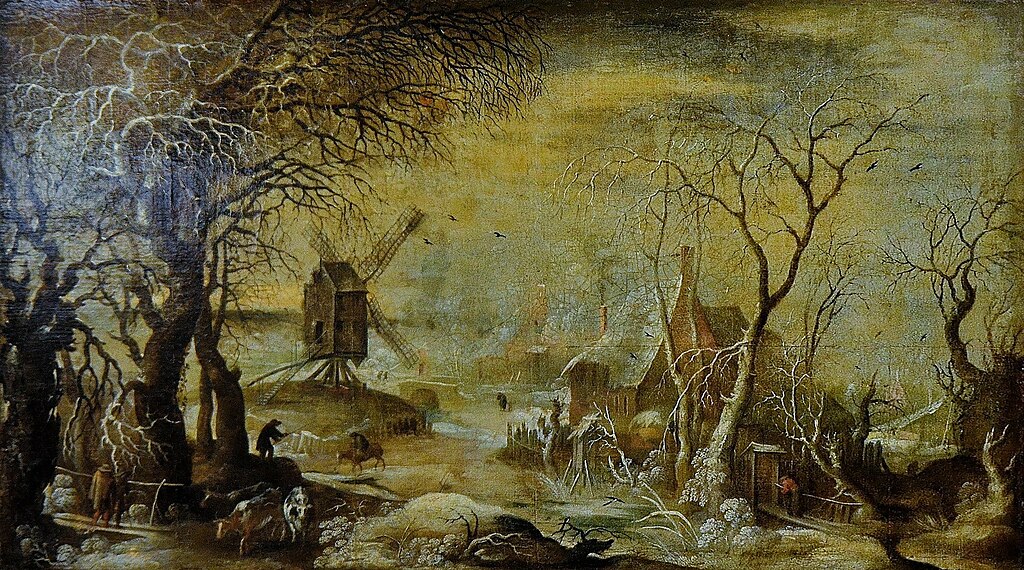
| Snow landscape at the windmill
|
||||||||||||||||||||||||||||||
|---|---|---|---|---|---|---|---|---|---|---|---|---|---|---|---|---|---|---|---|---|---|---|---|---|---|---|---|---|---|---|
| Artist |
|
_-_Mus%C3%A9e_des_Beaux-Arts_-_%22Paysage_de_neige_au_moulin_%C3%A0_vent%22_(attribu%C3%A9_%C3%A0_Ro%C3%ABlandt_Savery,_1576-1639)_(48023029443).jpg) | ||||||||||||||||||||||||||||
| Title |
German: Schneelandschaft an der Windmühle Snow landscape at the windmill |
|||||||||||||||||||||||||||||
| Object type |
painting |
|||||||||||||||||||||||||||||
| Genre |
landscape art |
|||||||||||||||||||||||||||||
| Date |
circa |
|||||||||||||||||||||||||||||
| Medium |
oil on canvas |
|||||||||||||||||||||||||||||
| Collection |
|
|||||||||||||||||||||||||||||
| Accession number |
13904 (Musée des Beaux-Arts de Chartres) |
|||||||||||||||||||||||||||||
| Source/Photographer | https://www.flickr.com/photos/morio60/48023029443/ | |||||||||||||||||||||||||||||
_-_Portrait_of_Roelant_Savery.jpg)

Summary[edit]
_-_Mus%C3%A9e_des_Beaux-Arts_-_%22Paysage_de_neige_au_moulin_%C3%A0_vent%22_(attribu%C3%A9_%C3%A0_Ro%C3%ABlandt_Savery,_1576-1639)_(48023029443).jpg&action=edit§ion=1)
| Description |
Français : Paysage de neige au moulin à vent attribué à Roëlandt Savery, huile sur toile, Pays-Bas, vers 1600, musée des Beaux-Arts de Chartres. |
| Date | Taken on 15 July 2017, 10:46 |
| Source | https://www.flickr.com/photos/morio60/48023029443/ |
| Author | Patrick from Compiègne, France |
| Camera location | | View this and other nearby images on: OpenStreetMap |
|---|
_-_Mus%C3%A9e_des_Beaux-Arts_-_%22Paysage_de_neige_au_moulin_%C3%A0_vent%22_(attribu%C3%A9_%C3%A0_Ro%C3%ABlandt_Savery,_1576-1639)_(48023029443).jpg¶ms=048.442753_N_0001.482810_E_globe:Earth_type:camera_source:Flickr_&language=en)
Licensing[edit]
_-_Mus%C3%A9e_des_Beaux-Arts_-_%22Paysage_de_neige_au_moulin_%C3%A0_vent%22_(attribu%C3%A9_%C3%A0_Ro%C3%ABlandt_Savery,_1576-1639)_(48023029443).jpg&action=edit§ion=2)
This file is licensed under the Creative Commons Attribution-Share Alike 2.0 Generic license.
- You are free:
- to share – to copy, distribute and transmit the work
- to remix – to adapt the work
- Under the following conditions:
- attribution – You must give appropriate credit, provide a link to the license, and indicate if changes were made. You may do so in any reasonable manner, but not in any way that suggests the licensor endorses you or your use.
- share alike – If you remix, transform, or build upon the material, you must distribute your contributions under the same or compatible license as the original.
| This image was originally posted to Flickr by Morio60 at https://flickr.com/photos/78775886@N06/48023029443. It was reviewed on 3 May 2021 by FlickreviewR 2 and was confirmed to be licensed under the terms of the cc-by-sa-2.0. |
File history
Click on a date/time to view the file as it appeared at that time.
| Date/Time | Thumbnail | Dimensions | User | Comment | |
|---|---|---|---|---|---|
| current | 06:39, 17 May 2023 | | 3,875 × 2,157 (3.08 MB) | Le Passant (talk | contribs) | Reverted to version as of 10:56, 25 March 2023 (UTC) |
| 06:33, 17 May 2023 |  | 4,672 × 2,879 (5.92 MB) | Le Passant (talk | contribs) | Reverted to version as of 17:16, 3 May 2021 (UTC) | |
| 10:56, 25 March 2023 |  | 3,875 × 2,157 (3.08 MB) | Le Passant (talk | contribs) | décadrage | |
| 17:16, 3 May 2021 |  | 4,672 × 2,879 (5.92 MB) | Edelseider (talk | contribs) | Transferred from Flickr via #flickr2commons |
You cannot overwrite this file.
File usage on Commons
The following 5 pages use this file:
- Museum of Chartres
- Paintings by Roelant Savery
- File:Chartres (Eure-et-Loir) - Musée des Beaux-Arts - "Paysage de neige au moulin à vent" (attribué à Roëlandt Savery, 1576-1639) (48023029443).jpg
- File:Paysage de neige au moulin à vent de Roelandt Savery (1576-1639) Pays-Bas vers 1600 musée des Beaux-Arts de Chartres.jpg
- Category:Paintings by Roelandt Savery in Chartres museum
_Pays-Bas_vers_1600_mus%C3%A9e_des_Beaux-Arts_de_Chartres.jpg)
File usage on other wikis
The following other wikis use this file:
- Usage on de.wikipedia.org
- Usage on fr.wikipedia.org
- Usage on nl.wikipedia.org
- Usage on www.wikidata.org
_-_Musée_des_Beaux-Arts_-_%22Paysage_de_neige_au_moulin_à_vent%22_(attribué_à_Roëlandt_Savery,_1576-1639)_(48023029443).jpg&oldid=858923256)