File:Chasefu location map.png
Jump to navigation
Jump to search

Size of this preview: 713 × 599 pixels. Other resolutions: 286 × 240 pixels | 571 × 480 pixels | 934 × 785 pixels.
Original file (934 × 785 pixels, file size: 132 KB, MIME type: image/png)
Captions
Captions
Add a one-line explanation of what this file represents
Summary[edit]
| Description |
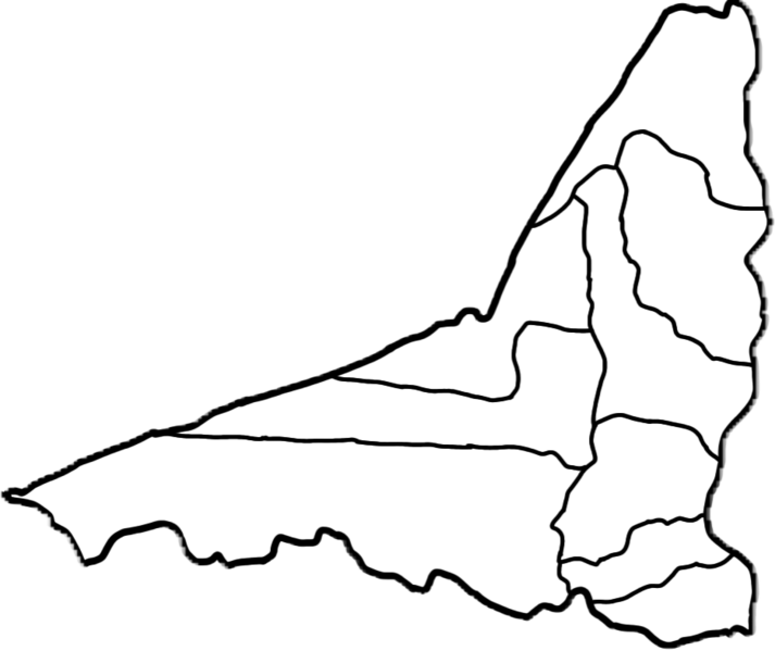
English: Location map of Chase (note: the border of Chasefu is based upon OpenStreetMap (2023) but the wards are from a 2010 ward map, so this isn’t 100%) |
| Date | |
| Source | Own work |
| Author | CubanoBoi |
Licensing[edit]
I, the copyright holder of this work, hereby publish it under the following license:
This file is licensed under the Creative Commons Attribution-Share Alike 4.0 International license.
- You are free:
- to share – to copy, distribute and transmit the work
- to remix – to adapt the work
- Under the following conditions:
- attribution – You must give appropriate credit, provide a link to the license, and indicate if changes were made. You may do so in any reasonable manner, but not in any way that suggests the licensor endorses you or your use.
- share alike – If you remix, transform, or build upon the material, you must distribute your contributions under the same or compatible license as the original.
File history
Click on a date/time to view the file as it appeared at that time.
| Date/Time | Thumbnail | Dimensions | User | Comment | |
|---|---|---|---|---|---|
| current | 04:29, 6 July 2023 | | 934 × 785 (132 KB) | CubanoBoi (talk | contribs) | Map from https://chasefudistrict.blogspot.com/?m=1 |
| 02:56, 29 April 2023 |  | 913 × 781 (141 KB) | CubanoBoi (talk | contribs) | Uploaded own work with UploadWizard |
You cannot overwrite this file.
File usage on Commons
There are no pages that use this file.
File usage on other wikis
The following other wikis use this file:
- Usage on tum.wikipedia.org
- Magodi (msumba), Chasefu
- Longwechaseka, Chasefu
- Koropete, Chasefu
- Kasera, Chasefu
- Phiri la Mpande
- Mapiri a Mafupasi
- Phiri la Manda
- Phiri la Kampakata
- Phiri la Chisangesi
- Mapiri a Mwangavula
- Phiri la Lupeta
- Phiri la Ngombe, Chasefu
- Chiponde, Chasefu
- Ngombe, Chasefu
- Katandala, Chasefu
- Mlonga wa Korani, Zambia
- Chilumbeni, Chasefu