File:Chatterton, Indiana.png
Jump to navigation
Jump to search
Size of this preview: 800 × 400 pixels. Other resolutions: 320 × 160 pixels | 640 × 320 pixels | 1,024 × 512 pixels | 1,600 × 800 pixels.
Original file (1,600 × 800 pixels, file size: 2.39 MB, MIME type: image/png)
Captions
Captions
Independence Pine Village Rd
Summary
[edit]
| Camera location | | View this and other nearby images on: OpenStreetMap |
|---|
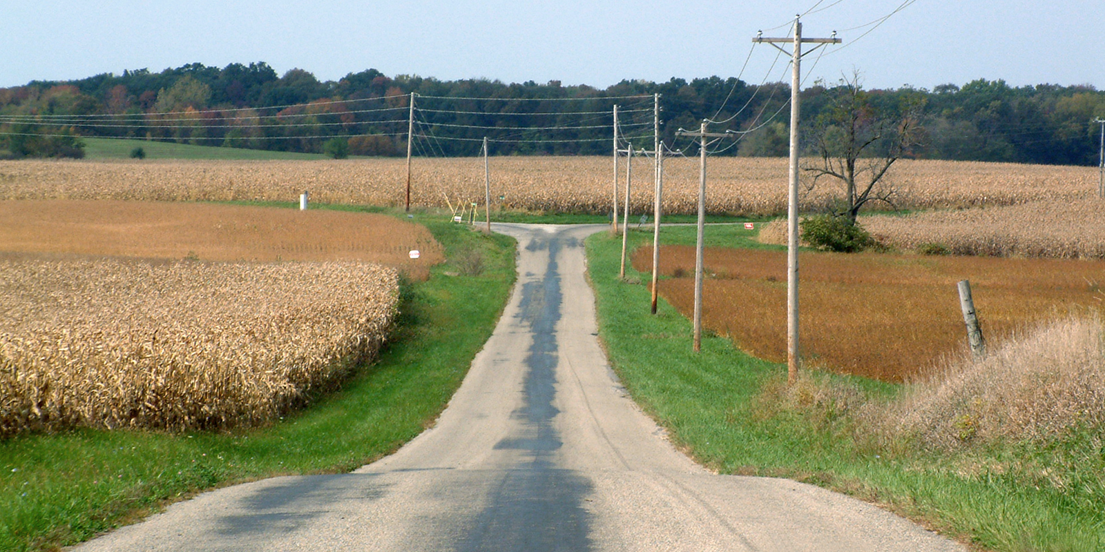
| Description | An autumn afternoon near the present-day site of the extinct town of Chatterton, Indiana. The view is to the northwest, looking toward the intersection of Independence Road and County Road 600 North in Warren County. (The intersection is near the east side of the Chatterton site.) |
| Date | |
| Source | Self-photographed |
| Author | Huw Williams (Huwmanbeing) |
| Permission (Reusing this file) |
I release this photo into public domain |
Licensing
[edit]
| I, the copyright holder of this work, release this work into the public domain. This applies worldwide. In some countries this may not be legally possible; if so: I grant anyone the right to use this work for any purpose, without any conditions, unless such conditions are required by law. |
File history
Click on a date/time to view the file as it appeared at that time.
| Date/Time | Thumbnail | Dimensions | User | Comment | |
|---|---|---|---|---|---|
| current | 22:45, 4 October 2006 | | 1,600 × 800 (2.39 MB) | Huwmanbeing (talk | contribs) | {{Information |Description = The present-day site of the extinct town Chatterton, Indiana, at the intersection of Independence Road and County Road 600 North in Warren County. The view is northwest. |Source = Own photo |Date = 2006-10-04 |Author = Huw Wi |
You cannot overwrite this file.
File usage on Commons
There are no pages that use this file.
File usage on other wikis
The following other wikis use this file:
- Usage on en.wikipedia.org
- Usage on www.wikidata.org
- Usage on zh.wikipedia.org