File:Chemin de Fer d'Aigues-Vives superimposed onto OpenStreetMap.jpg
Jump to navigation
Jump to search
Size of this preview: 686 × 600 pixels. Other resolutions: 275 × 240 pixels | 549 × 480 pixels | 878 × 768 pixels | 1,147 × 1,003 pixels.
Original file (1,147 × 1,003 pixels, file size: 296 KB, MIME type: image/jpeg)
Captions
Captions
Add a one-line explanation of what this file represents
Summary[edit]
| Description |
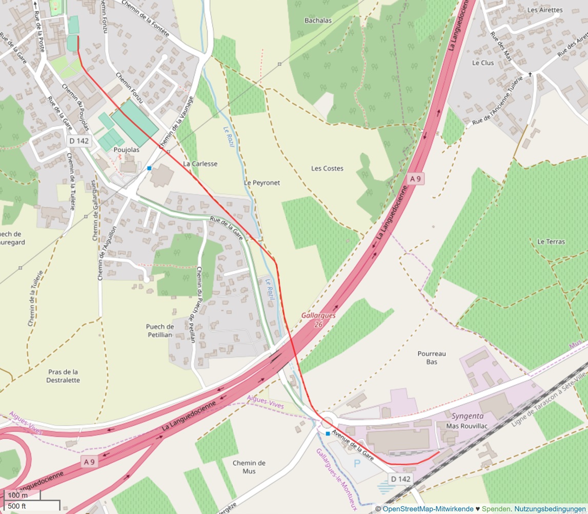
Deutsch: Chemin de Fer d'Aigues-Vives superimposed onto OpenStreetMap |
| Date | |
| Source | https://www.openstreetmap.org/#map=15/43.7325/4.1884 |
| Author |
|
Licensing[edit]
This file is licensed under the Creative Commons Attribution-Share Alike 2.5 Generic license.
- You are free:
- to share – to copy, distribute and transmit the work
- to remix – to adapt the work
- Under the following conditions:
- attribution – You must give appropriate credit, provide a link to the license, and indicate if changes were made. You may do so in any reasonable manner, but not in any way that suggests the licensor endorses you or your use.
- share alike – If you remix, transform, or build upon the material, you must distribute your contributions under the same or compatible license as the original.
File history
Click on a date/time to view the file as it appeared at that time.
| Date/Time | Thumbnail | Dimensions | User | Comment | |
|---|---|---|---|---|---|
| current | 19:52, 10 January 2020 | | 1,147 × 1,003 (296 KB) | NearEMPTiness (talk | contribs) | Route revised near the station |
| 17:32, 10 January 2020 |  | 1,124 × 1,001 (287 KB) | NearEMPTiness (talk | contribs) | User created page with UploadWizard |
You cannot overwrite this file.
File usage on Commons
The following 3 pages use this file:
File usage on other wikis
The following other wikis use this file:
- Usage on de.wikipedia.org
- Usage on en.wikipedia.org