File:Chernihiv location map.png
Original file (941 × 986 pixels, file size: 1.13 MB, MIME type: image/png)
Captions
Captions
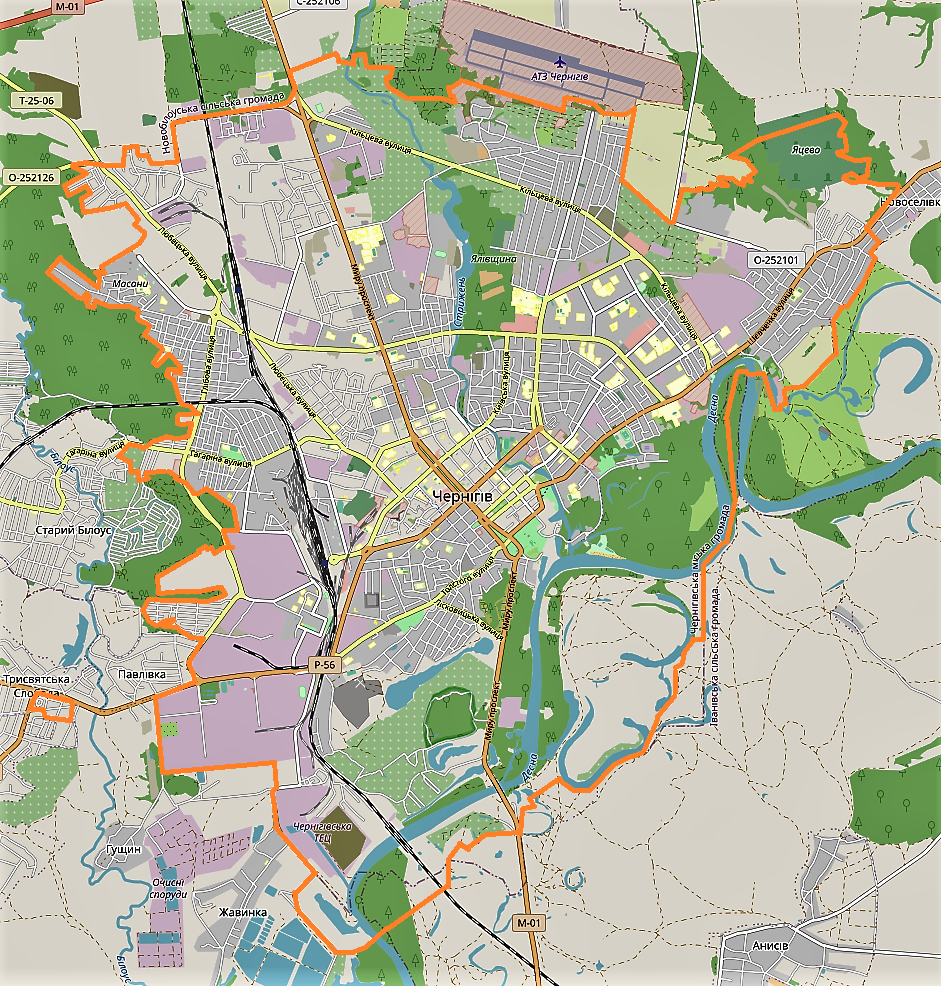
Summary[edit]
| Description |
English: Location map |
| Date | |
| Source | Own work |
| Author | Smat |
| Description |
Polski: Mapa Czernichowa, Ukraina
English: Map of Chernihiv, Ukraine |
|||||||||
| Date | ||||||||||
| Source | You may find a page on the OpenStreetMap wiki page for Czernihów | |||||||||
| Creator |
OpenStreetMap contributors OpenStreetMap contributors |
|||||||||
| Permission (Reusing this file) |
OpenStreetMap data is available under the Open Database License (details). Standard style map tiles are licensed as ODbL Produced Works.
|
|||||||||
| Geotemporal data | ||||||||||
| Bounding box |
|
|||||||||
| Georeferencing | If inappropriate please set warp_status = skip to hide. | |||||||||
Licensing[edit]
| This work contains information from OpenStreetMap, which is made available under the Open Database License (ODbL).
The ODbL does not require any particular license for maps produced from ODbL data. Prior to 1 August 2020, map tiles produced by the OpenStreetMap Foundation were licensed under the CC-BY-SA-2.0 license. Maps produced by other people may be subject to other licences. |
File history
Click on a date/time to view the file as it appeared at that time.
| Date/Time | Thumbnail | Dimensions | User | Comment | |
|---|---|---|---|---|---|
| current | 09:46, 29 May 2021 | | 941 × 986 (1.13 MB) | Smat (talk | contribs) | Uploaded own work with UploadWizard |
You cannot overwrite this file.
File usage on Commons
There are no pages that use this file.
File usage on other wikis
The following other wikis use this file:
- Usage on eo.wikipedia.org
- Usage on fr.wikipedia.org
- Usage on gd.wikipedia.org
- Usage on pl.wikipedia.org
- Czernihów (stacja kolejowa)
- Cerkiew Piatnicka w Czernihowie
- Stadion im. Jurija Gagarina w Czernihowie
- Sobór Świętych Borysa i Gleba w Czernihowie
- Czernihowski Narodowy Uniwersytet Pedagogiczny im. Tarasa Szewczenki
- Czernihowski Narodowy Uniwersytet Technologiczny
- Podusiwka
- Moduł:Mapa/dane/Czernihów
- Jelecki Monaster Zaśnięcia Matki Bożej
- Czernihów Północny