File:Christoph Zenger 1.jpeg
Jump to navigation
Jump to search
Size of this preview: 450 × 600 pixels. Other resolutions: 180 × 240 pixels | 360 × 480 pixels | 576 × 768 pixels | 768 × 1,024 pixels | 2,250 × 3,000 pixels.
Original file (2,250 × 3,000 pixels, file size: 966 KB, MIME type: image/jpeg)
Captions
Captions
Add a one-line explanation of what this file represents
Summary
[edit]
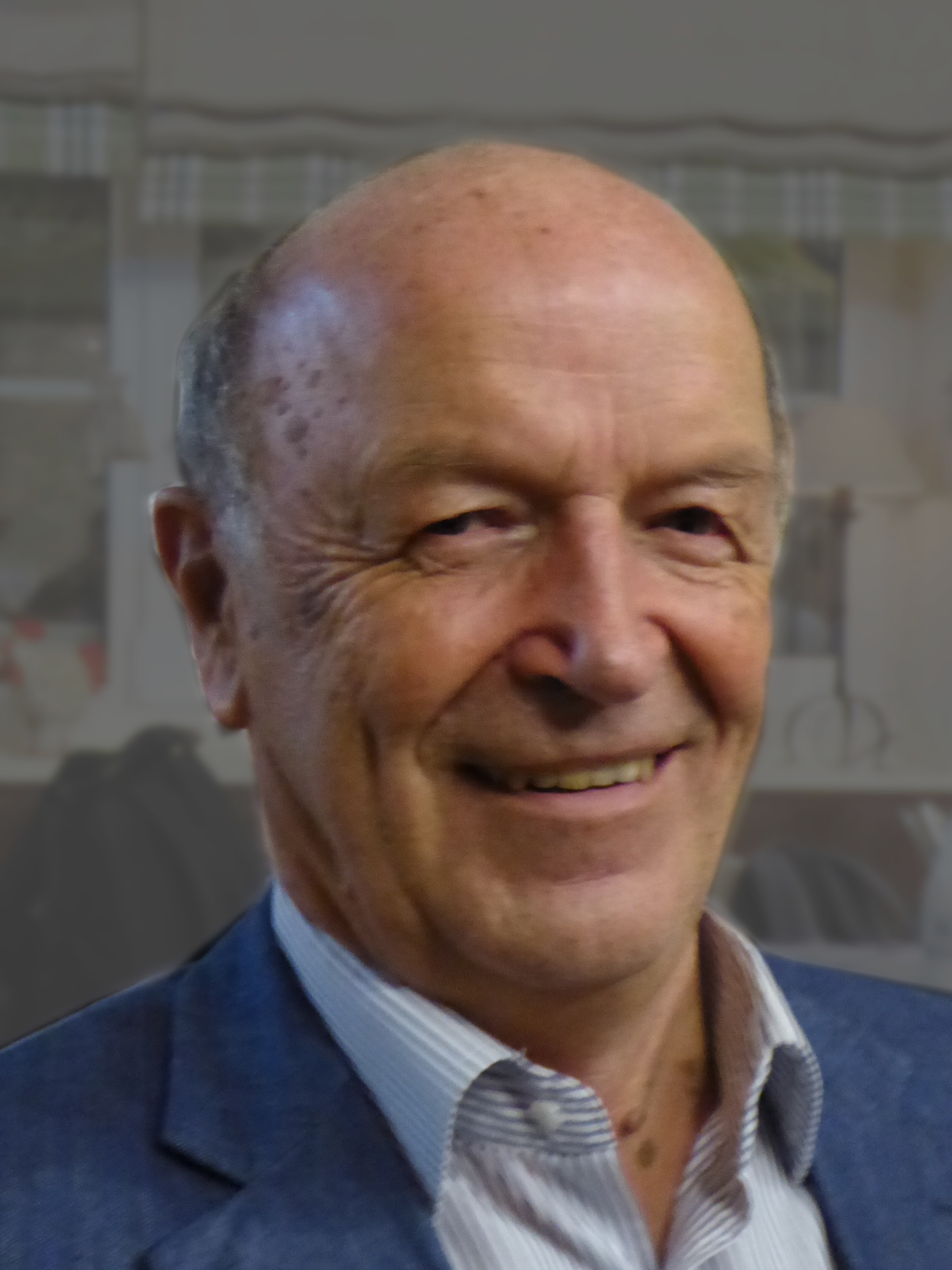
| Description | Prof. Dr. Christoph Zenger |
| Date | |
| Source | Self-photographed |
| Author | Aisano |
Licensing
[edit]
I, the copyright holder of this work, hereby publish it under the following license:
| This file is made available under the Creative Commons CC0 1.0 Universal Public Domain Dedication. | |
| The person who associated a work with this deed has dedicated the work to the public domain by waiving all of their rights to the work worldwide under copyright law, including all related and neighboring rights, to the extent allowed by law. You can copy, modify, distribute and perform the work, even for commercial purposes, all without asking permission.
|
File history
Click on a date/time to view the file as it appeared at that time.
| Date/Time | Thumbnail | Dimensions | User | Comment | |
|---|---|---|---|---|---|
| current | 17:58, 13 October 2015 | | 2,250 × 3,000 (966 KB) | Renardo la vulpo (talk | contribs) | Hintergrund aufgehellt / fono heligita. |
| 07:10, 11 October 2015 |  | 2,250 × 3,000 (971 KB) | Renardo la vulpo (talk | contribs) | {{Information |Description =Prof. Dr. Christoph Zenger |Source ={{self-photographed}} |Author ={{U|Aisano}} |Date =2015-10-09 |Permission = |other_versions = }} Zenger [[Ca... |
You cannot overwrite this file.
File usage on Commons
The following page uses this file:
File usage on other wikis
The following other wikis use this file:
- Usage on arz.wikipedia.org
- Usage on de.wikipedia.org
- Usage on en.wikipedia.org
- Usage on pt.wikipedia.org
- Usage on www.wikidata.org