File:Circunscripción electoral de Murcia.svg
Jump to navigation
Jump to search

Size of this PNG preview of this SVG file: 578 × 374 pixels. Other resolutions: 320 × 207 pixels | 640 × 414 pixels | 1,024 × 663 pixels | 1,280 × 828 pixels | 2,560 × 1,656 pixels.
Original file (SVG file, nominally 578 × 374 pixels, file size: 608 KB)
Captions
Captions
Add a one-line explanation of what this file represents
| Description |
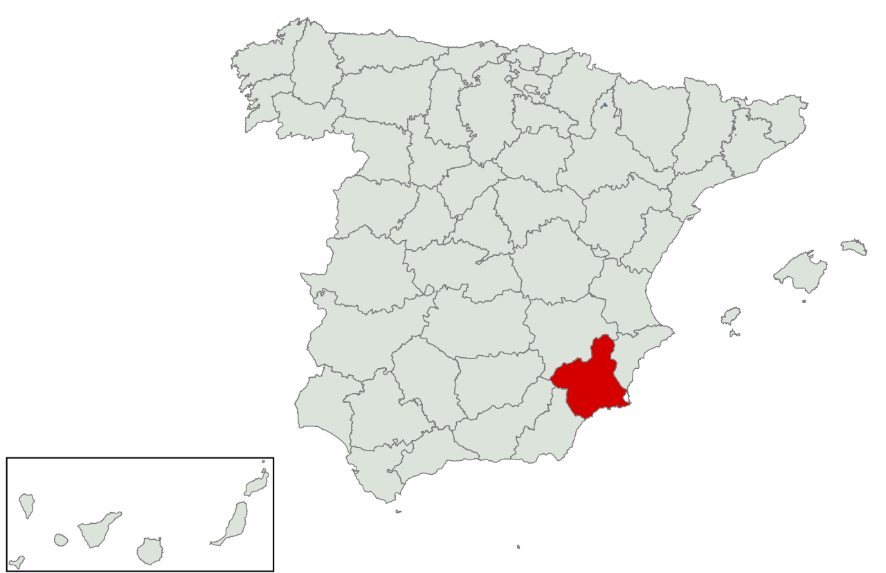
Español: Mapa de la circunscripción electoral de Murcia (desde la restauración de la democracia), coincidente con la provincia/comunidad autónoma. |
| Source | |
| Author | Asqueladd |
| Permission (Reusing this file) |
This file is licensed under the Creative Commons Attribution-Share Alike 3.0 Unported license.
|
| SVG development |
File history
Click on a date/time to view the file as it appeared at that time.
| Date/Time | Thumbnail | Dimensions | User | Comment | |
|---|---|---|---|---|---|
| current | 13:49, 3 May 2016 | | 578 × 374 (608 KB) | Asqueladd (talk | contribs) | {{Information |Description={{es|1=Mapa de la circunscripción electoral de Murcia (desde la restauración de la democracia), coincidente con la provincia/comunidad autónoma.}} |Source={{attribSVG|Andalucía Oriental con Málaga.svg|Ymomhé}} |Date= |A... |
You cannot overwrite this file.
File usage on Commons
There are no pages that use this file.