File:Cirkelbroen in Aarhus from air.jpg
Jump to navigation
Jump to search

Size of this preview: 800 × 600 pixels. Other resolutions: 320 × 240 pixels | 640 × 480 pixels | 1,024 × 768 pixels | 1,280 × 959 pixels | 2,560 × 1,919 pixels | 3,981 × 2,984 pixels.
Original file (3,981 × 2,984 pixels, file size: 5.46 MB, MIME type: image/jpeg)
Captions
Captions
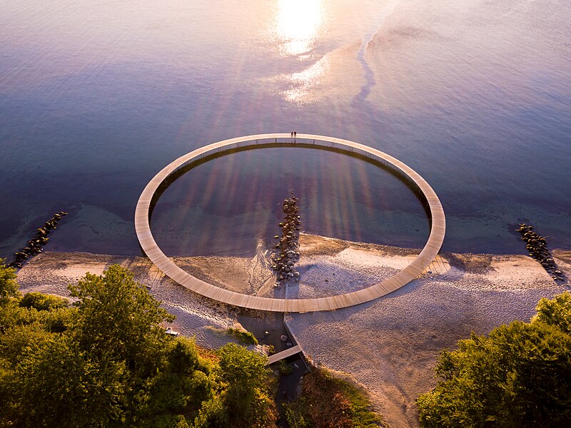
Cirkelbroen in Aarhus from air
Summary
[edit]
| Description |
English: Cirkelbroen in Aarhus from air |
| Date | Taken on 27 July 2017, 18:14 |
| Source | Den uendelig bro |
| Author | SmartDrones Aarhus |
| Object location | | View this and other nearby images on: OpenStreetMap |
|---|
Licensing
[edit]
| This file is made available under the Creative Commons CC0 1.0 Universal Public Domain Dedication. | |
| The person who associated a work with this deed has dedicated the work to the public domain by waiving all of their rights to the work worldwide under copyright law, including all related and neighboring rights, to the extent allowed by law. You can copy, modify, distribute and perform the work, even for commercial purposes, all without asking permission.
|
| This image was originally posted to Flickr by SmartDrones Aarhus at https://flickr.com/photos/143374962@N02/35397897633. It was reviewed on 6 November 2023 by FlickreviewR 2 and was confirmed to be licensed under the terms of the cc-zero. |
File history
Click on a date/time to view the file as it appeared at that time.
| Date/Time | Thumbnail | Dimensions | User | Comment | |
|---|---|---|---|---|---|
| current | 02:00, 6 November 2023 | | 3,981 × 2,984 (5.46 MB) | Gardar Rurak (talk | contribs) | Uploaded a work by Smartdrones Aarhus from https://flickr.com/photos/smartdrones/35397897633/ with UploadWizard |
You cannot overwrite this file.
File usage on Commons
The following page uses this file: