File:CityRail InterCity map.png
跳转到导航
跳转到搜索

本预览的尺寸:600 × 600像素。 其他分辨率:240 × 240像素 | 480 × 480像素 | 850 × 850像素。
原始文件 (850 × 850像素,文件大小:99 KB,MIME类型:image/png)
说明
说明
添加一行文字以描述该文件所表现的内容
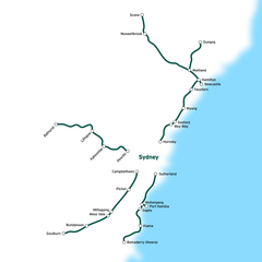
| 描述 | CityRail intercity and regional lines. | ||
| 日期 | |||
| 来源 | en:Image:CityRail_InterCity_map.png | ||
| 作者 | en:User:Joestella | ||
| 授权 (二次使用本文件) |
|
文件历史
点击某个日期/时间查看对应时刻的文件。
| 日期/时间 | 缩略图 | 大小 | 用户 | 备注 | |
|---|---|---|---|---|---|
| 当前 | 2007年4月15日 (日) 07:48 | | 850 × 850(99 KB) | Essolo(留言 | 贡献) | {{Information |Description=CityRail Sydney network. |Source=en:Image:CityRail_InterCity_map.png |Date=2006/12/15 |Author=en:User:Joestella |Permission={{pd}} |other_versions= }} |
您不可以覆盖此文件。
文件用途
没有页面使用本文件。
全域文件用途
以下其他wiki使用此文件:
- en.wikipedia.org上的用途
- en.wikibooks.org上的用途
- es.wikipedia.org上的用途
- it.wikipedia.org上的用途
- ja.wikipedia.org上的用途
- zh.wikipedia.org上的用途